Getting Technical - February 2026
We are well into winter, and what better way to warm up than by reviewing all the great technical information we published this past month. In this post, we answer questions like: Where can I watch the Developer & Technology Summit with Esri Canada employees? How can I make informed business decisions with ArcGIS Business Analyst? Can you animate symbology in Map Viewer? More importantly, don’t forget to review all the free webinars coming up in March. Read this month’s edition of Getting Technical here.
Must Reads

Are you busy on March 10, 2026? Why not attend one of the Developer & Technology Summit watch parties hosted by yours truly! We’re bringing the plenary to Cineplex locations across Canada with in-person watch parties. Watch the plenary live and explore the latest innovations and demos. Connect with local peers, Technical Solutions Specialists and Account Managers, all without leaving your city.
Esri Canada releases free GIS playbook for smarter field operations
Field season is fast approaching. If you’re looking for a way to boost field operations using geographic information systems, you should check out the newly released and completely FREE playbook. It provides actionable strategies to help field teams work smarter and respond faster. Read it here.
Blogs
NG9-1-1 Data Manager Part 1: Add Address Points & Rename Roads
If you are looking for a solution that can assist your organization and prepare your NG9-1-1 GIS data in alignment with the NENA GIS Data model, look no further! In this two-part blog series, we are going to take on the role as a GIS staff member who needs to leverage some of the new functionality in NG9-1-1 Data Manager to create new Address Points and rename a road.
NG9-1-1 Data Manager Part 2: Submission and Discrepancy Review
NG9-1-1 Data Manager 2.4 is here - bringing faster workflows, smarter tools and practical upgrades to keep your data accurate and NENA compliant. In this post, we explore the workflow of submitting data to our NG9-1-1 Aggregator and resolve some discrepancies found in our data.
Beginner’s guide to ArcGIS Business Analyst for smarter decisions
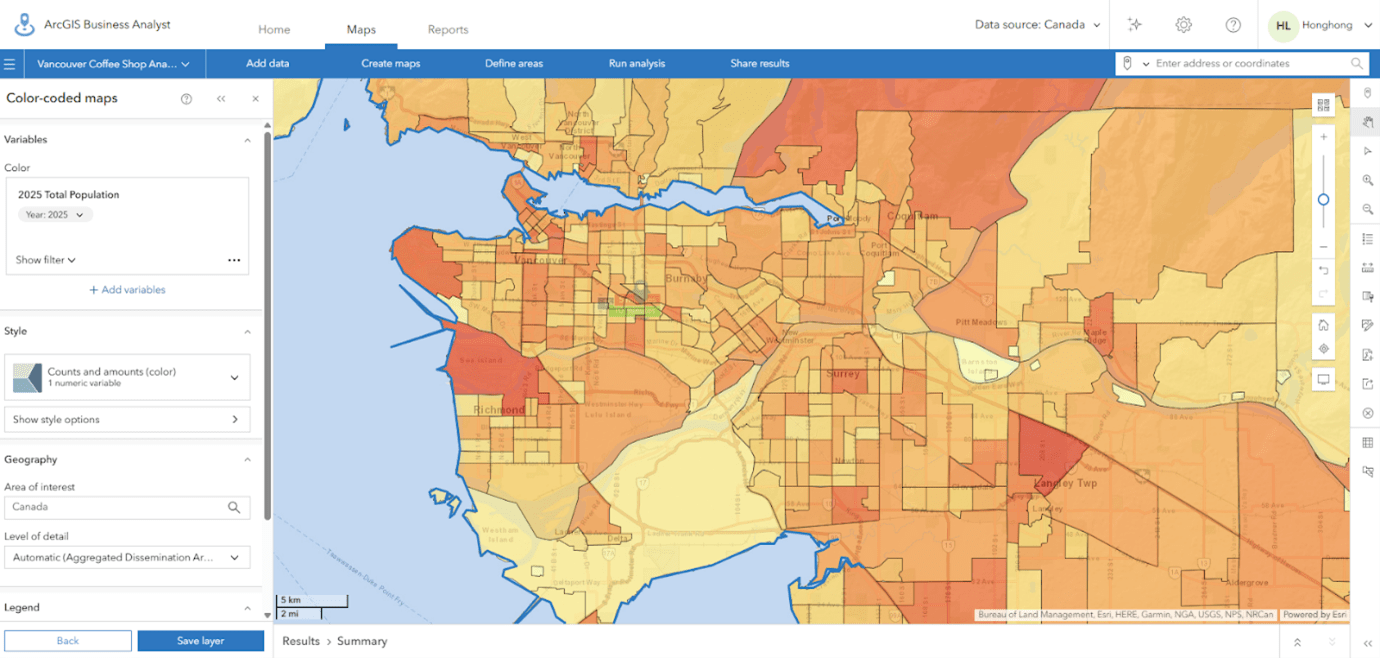
Colour-coded map of Vancouver's population distribution using ArcGIS Business Analyst
Making informed business decisions starts with understanding location. In this blog, you’ll learn what ArcGIS Business Analyst offers, why location intelligence is critical for market analysis and how the Web App helps you quickly access demographic data, visualize patterns and create reports, all without complex GIS workflows.
From “data about data” to AI fuel: metadata powers ArcGIS intelligence
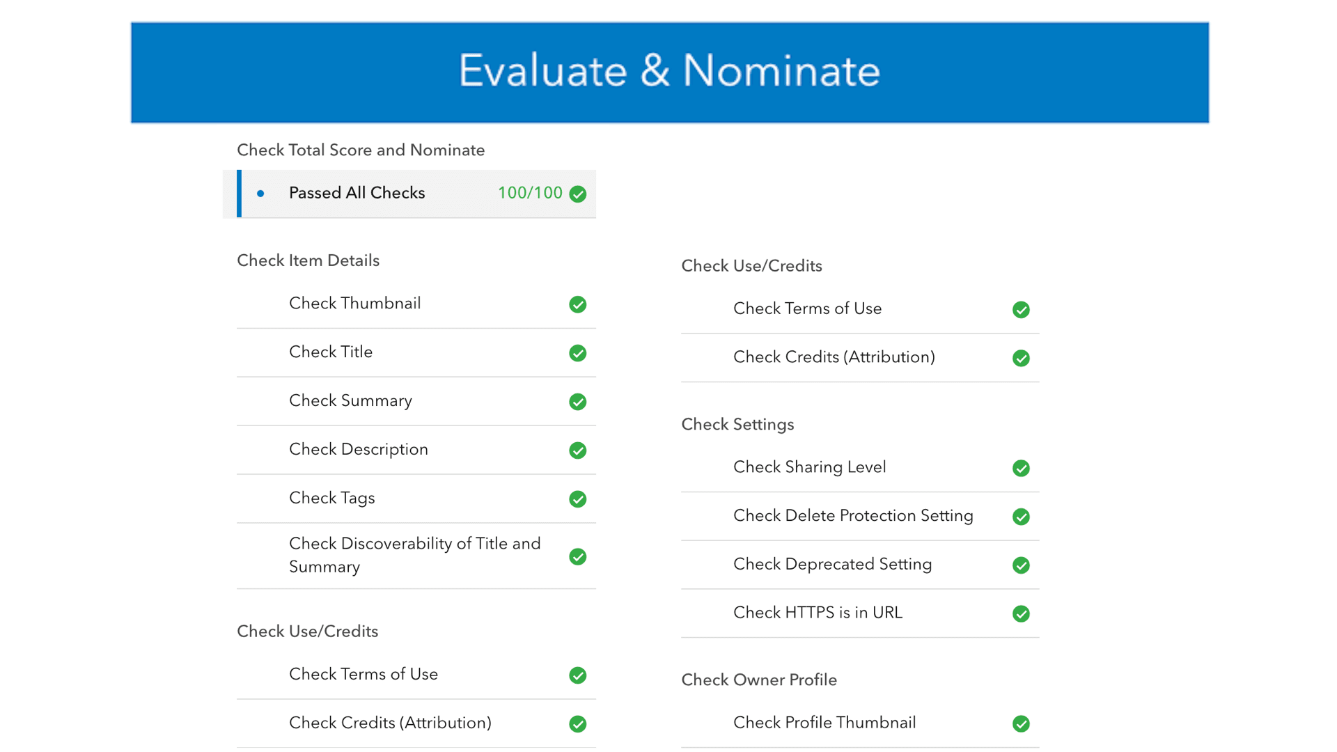
Evaluate & Nominate-App
AI is transforming ArcGIS, and metadata plays a key role in making that transformation possible. This blog post explains why metadata is essential to the ArcGIS AI platform and how strong, well-structured metadata makes your content both human-friendly and machine-readable. It also offers practical starting points to help you improve the quality, clarity and usability of your ArcGIS item metadata.
View all additional blogs on the Esri Canada Blog site.
Videos
Animated Symbology in Map Viewer
Are you looking to make key features within your web map stand out? You’ve come to the right place. In this video we show you how to use animated symbology within the ArcGIS Online Map Viewer.
Cartography trick: how to remove coastlines in ArcGIS Pro
Have you ever wanted to remove the stroke outline around the coastline, but keep internal borders on your map?
In this video, we show off a cartography trick that we learned from the 2025 Esri User Conference. By using a few tools in ArcGIS Pro, you can take a polygon feature class, select only the interior borders and then make a new layer from your selection. It works especially well in places like Canada, where the coastline is long and often very detailed.
Stay up to date on all our GeoSnaps by visiting the YouTube playlist.
Training
Working with ArcGIS Dashboards
Deliver data-driven insight at a glance
Learn how to present data simply and effectively, monitor key metrics and activities in progress and provide decision makers with easy access to the data that matters most to them. This course covers the essential concepts and workflows you need to understand to create an ArcGIS Dashboards dashboard from scratch, configure it to meet your data users' needs and share it with stakeholders.
Esri Canada Seminars & Webinars
NG9-1-1 GIS: Where the streets have no (authoritative) name
March 4, 2026 This webinar will guide participants through a series of addressing examples and offer operational and technical workflow considerations to overcome the challenges. Participants will gain a better understanding of NG9-1-1 GIS data requirements and learn how new enhancements to Esri Canada’s NG9-1-1 Data Manager can help to satisfy those requirements.
Turn Data into Action: Modern Wildfire Protection Planning for Safer Communities
March 19, 2026
 Join us for this webinar to learn about Esri’s wildfire protection planning solution and to see how it’s designed to help communities analyze wildfire patterns, assess risks and prioritize mitigation efforts to protect people and property.
Modernizing British Columbia's Parcel Solution with ArcGIS Pro Parcel Fabric
March 25, 2026
 ParcelMap BC, developed and maintained by the Land Title and Survey Authority of BC, is the trusted land management system mapping more than two million parcels for use by governments, utilities and other entities across the province. The system recently transitioned to ArcGIS Pro Parcel Fabric on a modern cloud platform. Join us for an in-depth look at British Columbia’s forward-thinking parcel solution for authoritative land information. Learn about the project strategy and process design, focusing on the leading-edge use of Attribute Rules and Tasks to streamline parcel fabric workflows. The session will also cover production deployment, lessons learned and organizational impact. Whether you’re planning a transition or looking to enhance your current workflows, this session will equip you with actionable insights to succeed.
What’s New in ArcGIS Pro: Unpacking the Latest Features
March 26, 2026
 In this webinar, we’ll demonstrate the newest capabilities in ArcGIS Pro 3.5 and 3.6, focusing on practical workflows that make analysis, visualization and data management faster and more intuitive. We’ll explore emerging AI-powered tools that enhance workflows and unlock deeper insights. This session will also show how these updates integrate seamlessly with the broader ArcGIS system to support advanced modeling, collaboration and sharing.
Missed last month’s recording? No problem, check out the recordings: View recorded seminars | View recorded webinars

Service Packs, Patches & Product Support Updates
Esri Support App
Download the Esri Support app to subscribe to important product updates and bug-related notifications. Also, try its newest feature – scan and solve error messages. You can also take advantage of Esri’s in-app generative AI chatbot to answer some of your questions. This Esri Support AI Chatbot can also be accessed on the Esri Support website.
ArcGIS Trust Center
Visit the ArcGIS Trust Center for critical security announcements and updates to privacy and compliance information.
Migrating from ArcGIS Engine
ArcGIS Engine is scheduled for retirement on March 1, 2026. In this post, we will delve into deprecation specifics, the impending retirement of ArcGIS Engine, strategies for planning your migration and an introduction to one of the key migration routes leveraging ArcGIS Maps SDKs for Native Apps.
ArcGIS and the Impact of MFA Enforcement in Snowflake
Read the FAQ to find out about Esri’s recommendations to mitigate potential disruptions.
Announcing the Deprecation of ArcGIS Maps SDK for Local Server
ArcGIS Maps SDK for Local Server is deprecated and will be retired in 2030.

Retiring Apps and Features
Below you’ll find more information about the upcoming retirement of several apps and features included in ArcGIS Online and ArcGIS Enterprise.
Classic Esri Story Maps Will Retire on February 25, 2026
Classic Esri Story Maps will be removed from ArcGIS Online, and any stories created with classic Esri Story Maps will no longer be available. For more information, read the retirement announcement and review the Classic Esri Story Maps Roadmap for Retirement blog.
ArcGIS Configurable Apps Will Retire on February 25, 2026
Apps built using Configurable Apps will no longer be accessible upon retirement. For more information, read the retirement announcement.
ArcGIS Web AppBuilder Will Retire in Q2 2027
ArcGIS Web AppBuilder in ArcGIS Online will be retired in the second quarter of 2027 with the following phases:
- Q1 2026—Creating new Web AppBuilder apps will no longer be possible.
- Q4 2026—Updating existing Web AppBuilder apps will no longer be possible.
- Q2 2027—Existing Web AppBuilder apps will be retired and will no longer function.
Apps will continue to work after retirement. However, we recommend you migrate your apps to ArcGIS Experience Builder as updates to browsers could introduce functional or security issues which will not be addressed by Esri. For more information, read the retirement announcement.
A special thank you to Janice DeMont for co-authoring this blog post.