Getting Technical – May 2026
Things are buzzing here at Esri Canada, and we’ve rounded up the latest technical goodies just for you. From what’s new in AI across the ArcGIS ecosystem to emerging spatial statistical techniques (and a few delightful surprises in between), this quick hit of updates keeps you in the loop. We’ve also got more free webinars on the way. Explore the full collection in this month’s edition of Getting Technical.
Must Reads
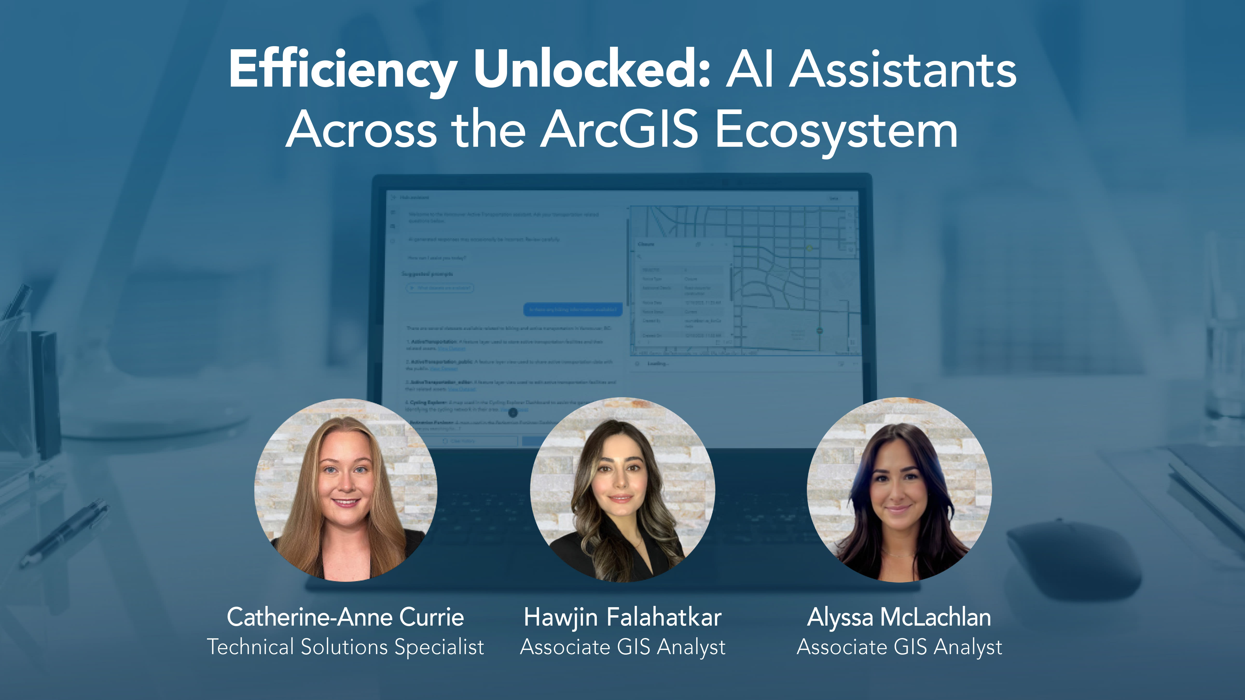
We want to give a shoutout to the recent webinar titled Efficiency Unlocked: AI Assistants Across the ArcGIS Ecosystem. This highly anticipated presentation drew in a great crowd! If you couldn’t attend or, if you want to rewatch the amazing demonstrations, you can access the recording here.

Did you know that Esri Canada has a podcast titled Geographical Thinking? Each season, the podcast features a Getting Technical episode to unpack the latest updates across the ArcGIS ecosystem. This season explores the latest AI features in ArcGIS, including GeoAI, AI assistants, agentic workflows, trusted AI and new developer tools. Listen here.
Blog
ArcGIS Instant Apps: Gallery template vs Category Gallery template
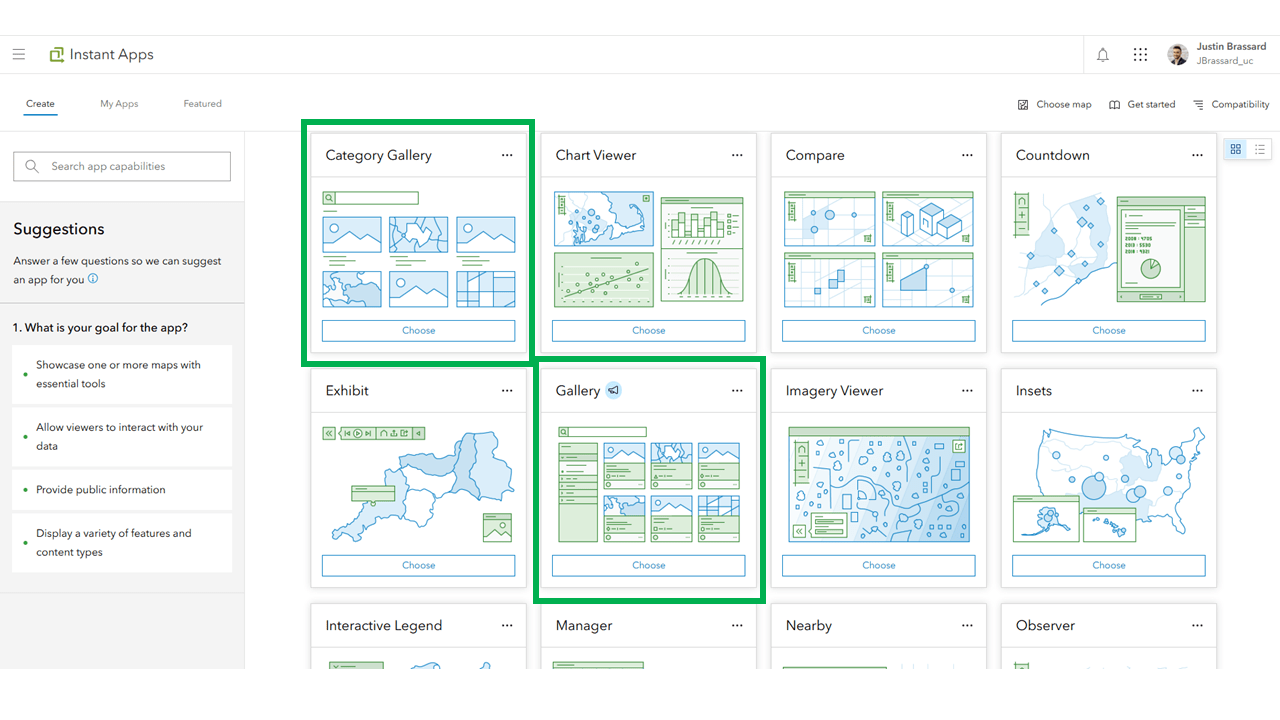
ArcGIS Instant Apps template menu with the Gallery and Category Gallery templates visible.
Are you curious what the difference is between the Gallery Template and the Category Gallery Template in ArcGIS Instant Apps? This blog breaks down those key differences so you can start using the templates with confidence.
View all additional blog posts on the Esri Canada Resource Hub.
Videos
How to use the Items Details assistant
Metadata is an important yet often overlooked step when creating an item in the ArcGIS ecosystem. In this video, we will show you how to use the Item Details assistant within ArcGIS Online and ArcGIS Enterprise to help you quickly create higher-quality metadata.
Navigating the ArcGIS Workflow Manager interface
New to ArcGIS Workflow Manager or looking for a quick refresher on its interface? In this GeoSnap, learn about the three core tabs, Design, Manage and Work, and see how each one supports managing and executing GIS workflows.
How to add thumbnails to ArcGIS Dashboard table elements Part 2
Do you want to take your ArcGIS Dashboards to the next level? In this video, we customize the table element by using Arcade to display the thumbnail images of your ArcGIS Online items. If you’ve ever wanted your dashboard to feel more polished and user-friendly, this video shows you exactly how to make it happen.
Get started with the Gallery template in ArcGIS Instant Apps
Learn how to quickly create stunning map galleries using the ArcGIS Instant Apps Gallery template. This GeoSnap guides you through setup, customization and best practices to showcase your data beautifully.
Stay up to date on all our GeoSnaps by visiting the YouTube playlist.
Training
Spatial Data Science: Advance Your Analytics
Discover hidden patterns, predict with confidence.
Take your analytics projects to the next level by incorporating the power of location and place-based context. This course introduces spatial statistical techniques and methods used to uncover patterns and relationships in data, unlocking insights that help organizations solve complex problems. You’ll explore a variety of scenarios and build skills with powerful ArcGIS tools used by analysts, researchers and data scientists around the world.
Esri Canada Seminars & Webinars
End Data Duplication with Schneider Electric’s Integrated GIS Design
June 2, 2026

This webinar explores how ArcFM Designer XI enables engineering designs through a simple, GIS-based application that works anywhere—regardless of connectivity—without requiring users to be GIS experts. Integrated with the ArcGIS Utility Network, it streamlines design-to-as-built workflows and reduces mapping backlog. Attendees will see support for phased designs, CAD integration, ADMS connectivity and the network model within the Esri ArcGIS architecture. The session also highlights new capabilities, the roadmap ahead and a live demonstration of integrated design in action.
Maps, Metrics and Meetings: ArcGIS for Microsoft 365 in Action
June 25, 2026

What could your teams accomplish if location intelligence was built into the Microsoft apps they use every day? This webinar explores ArcGIS for Microsoft 365, a fully integrated platform that brings mapping and spatial analysis directly into Excel, SharePoint, Teams and more. You’ll learn how to visualize data on maps, unlock spatial insights and collaborate with geographic context, all while staying in your familiar Microsoft 365 workflows.
Missed any of last month’s webinars? No problem! Check out the recordings: View recorded seminars | View recorded webinars

Service Packs, Patches & Product Support Updates
Esri Support App
Download the Esri Support App to subscribe to important product updates and bug-related notifications. Also, try its newest feature, which allows you to scan and solve error messages. You can also take advantage of Esri’s in-app generative AI chatbot to answer some of your questions. The Esri Support AI Chatbot can also be accessed on the Esri Support website.
ArcGIS Trust Center
Visit the ArcGIS Trust Center for critical security announcements and updates to privacy and compliance information.
Portal for ArcGIS Security 2026 Update
Esri has discovered a security vulnerability with developer credentials affecting ArcGIS Online, ArcGIS Location Platform and ArcGIS Enterprise.
ArcGIS Online and ArcGIS Location Platform were patched on April 13, 2026, and only affected customers were notified. The notification asked them to validate whether the update affected their applications and scripts using developer credentials.
The security patch released concurrently on April 13, 2026, resolved two critical severity vulnerabilities in Portal for ArcGIS 11.5 and 12.0, and should be installed with the highest priority. The patch resets potentially over-scoped developer credentials created by Portal for ArcGIS 11.5 back to expected default permissions.
Additional details concerning the patch, troubleshooting, best practices and ongoing updates for these vulnerabilities are available within the ArcGIS Trust Center, April 2026 Security Bulletin and the Secure Best Practices: ArcGIS Developer Credentials blog.
ArcGIS Desktop to User Type Transition Administrator Action Guide
ArcGIS Notebooks Runtime versions 8 and 9 Removal

Retiring Apps and Features
Below you’ll find more information about the upcoming retirement of several apps and features included in ArcGIS Online and ArcGIS Enterprise.
ArcGIS Workforce Will Retire in Q4 2026
ArcGIS Workforce, both the mobile and web applications, will be officially retired in the ArcGIS Online Q4 2026 update and in the ArcGIS Enterprise 12.2 Q4 2026 release.
The functionality previously provided by ArcGIS Workforce is now available through the Tasks capability in ArcGIS Field Maps. Customers currently using ArcGIS Workforce or Workforce for ArcGIS must begin planning their transition to using the new Tasks capability in ArcGIS Field Maps to ensure continuity. Esri recently released a new technical paper, Migrate from ArcGIS Workforce to tasks in ArcGIS Field Maps , to assist users with the transition. For more information, read the deprecation notice.
ArcGIS Web AppBuilder Will Retire in Q2 2027
ArcGIS Web AppBuilder in ArcGIS Online will be retired in the second quarter of 2027 with the following phases:
- Q1 2026—Creating new Web AppBuilder apps will no longer be possible.
- Q4 2026—Updating existing Web AppBuilder apps will no longer be possible.
- Q2 2027—Existing Web AppBuilder apps will be retired and will no longer function.
Apps will continue to work after retirement. However, we recommend you migrate your apps to ArcGIS Experience Builder as updates to browsers could introduce functional or security issues which will not be addressed by Esri. For more information, read the retirement announcement.---
A special thank you to Janice DeMont for co-authoring this blog post.