Getting Technical – July 2026
Can you believe July is already behind us? If you haven’t had the chance to catch up on the latest technical content from Esri Canada, now is the perfect opportunity. In this edition of Getting Technical, you’ll discover topics like how to combine ArcGIS Indoors with Trimble Unity Maintain, tips on updating your ArcGIS Enterprise organization URL and how to create your first frame in ArcGIS StoryMaps.
Must reads

Good news if you’re heading to the Esri Canada User Conference – the detailed agenda is now available! Explore a program with more than 20 technical sessions, 9 Expo Theater demos and over 30 kiosks on the show floor. There are plenty of opportunities to learn, connect and discover new ideas. Start planning your experience.
Blogs
ArcGIS Indoors and Trimble Unity Maintain: powerful facility management
Learn how combining ArcGIS Indoors with Trimble Unity Maintain can be leveraged to manage vertical assets in facilities as well as the facilities themselves.
Tips on updating your ArcGIS Enterprise organization URL
Your organization rebranded, and now you’re staring down the challenge of updating all your ArcGIS Enterprise URLs. Impossible, right? Not anymore. ArcGIS Enterprise 11.5 introduces full support for updating domains, subdomains and contexts. Let’s talk about how game-changing that is!
View all additional blog posts on the Esri Canada Resource Hub.
Videos
How to create a frame in ArcGIS StoryMaps
In this GeoSnap, you’ll learn how to get started with the frame builder, design your cover and add content slides. You'll also learn how to choose between single and double panel layouts to best present your content. Whether you’re sharing maps, images or embedded apps, frames make it easy to deliver impactful stories.
How to back up the ArcGIS Data Store
The ArcGIS Data Store plays a critical role in storing and managing your organization's data. Check out this GeoSnap to learn how inspect the health and status using command-line utilities, change the backup location and create a manual backup on demand.
Submit a case using My Esri – Request Case
Have you run into a software issue, thought of an enhancement or need technical support? Head on over to My Esri and check out Request Case. With Request Case, you can submit details about your issue or idea, all on your own, and it will go straight to an Esri customer support analyst.
Stay up to date on all our GeoSnaps by visiting the YouTube playlist.
Training
ArcGIS Enterprise: Administration Workflows
Master techniques to configure and maintain an ArcGIS Enterprise solution that meets your organization's business needs. You will learn about ArcGIS Enterprise architecture, server licensing roles and extensions, and the capabilities that support common GIS patterns of use. Best practices to manage servers, data and services while ensuring system performance over time are covered.
Esri Canada webinars & seminars
Increasing Efficiencies Through Parcel Mapping
August 12, 2026

When the City of Sarnia advanced their GIS to better support permitting activities, they quickly realized that a modernized parcel mapping layer would be required to support the operational efficiency they desired. Together, we will explore how both out-of-the-box and scripted changes allowed them to more effectively support their permitting process with a single source of parcel mapping that integrates changes as quickly as possible – even before they are registered. Join us to learn how parcel mapping modernization can be a catalyst for innovation, efficiency and better service to your community!
ArcGIS Enterprise Just Levelled Up: What’s New & What to Try First
August 27, 2026
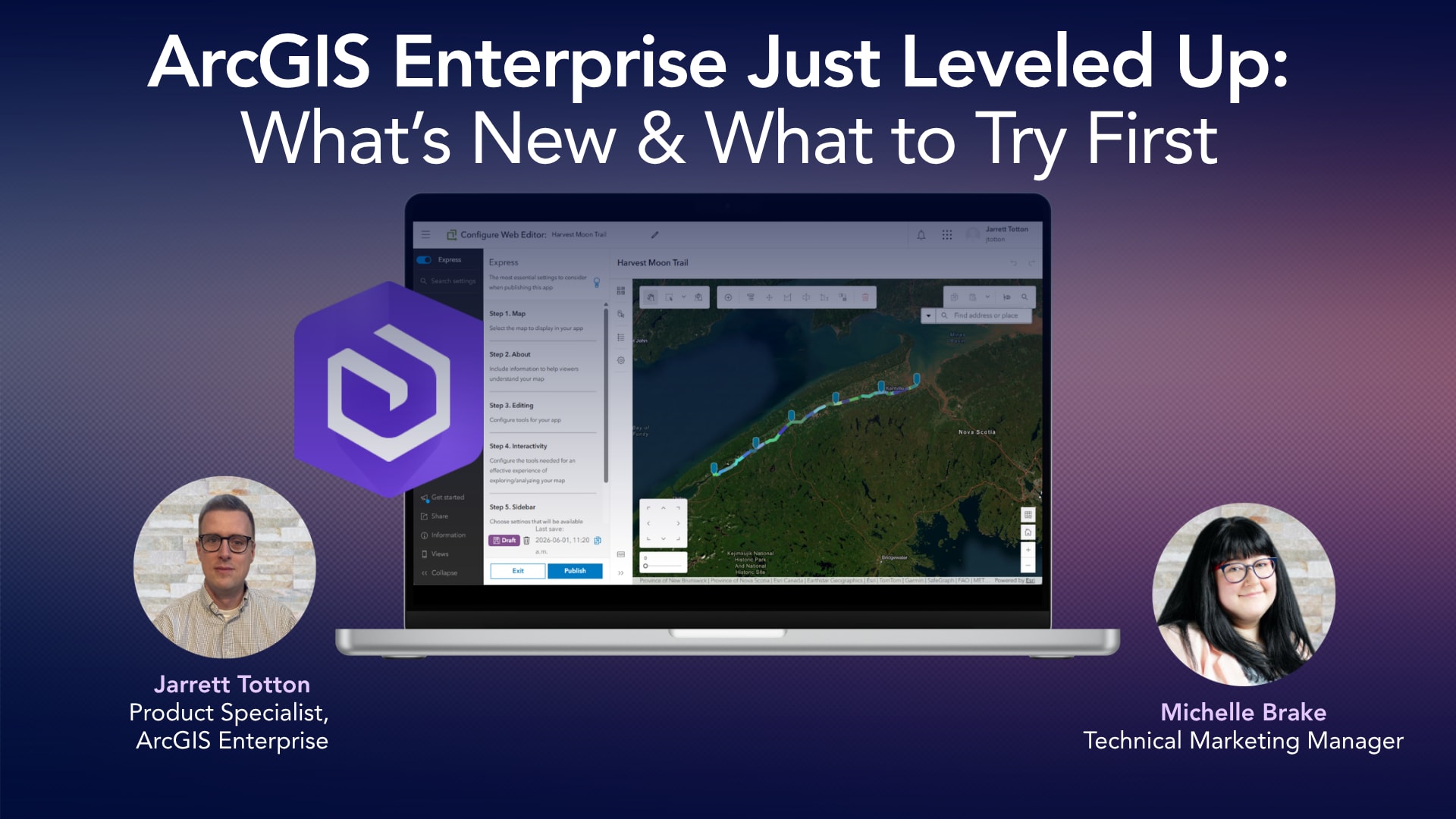
ArcGIS Enterprise just levelled up, and this is your guided tour of what to focus on first! In this session, we’ll break down the latest updates from ArcGIS Enterprise 12.0 and 12.1, helping you cut through the noise and focus on the features that can make an immediate impact in your organization. From stronger security defaults and improved system observability to faster performance and new no-code data engineering tools, this release brings meaningful upgrades for admins, analysts and developers alike.
Register for these upcoming webinars here.
Missed any of last month’s webinars? No problem! Check out the recordings: View recorded seminars | View recorded webinars

Service packs, patches & product support updates
Esri Support App
Download the Esri Support App to subscribe to important product updates and bug-related notifications.
Also, try its newest feature, which allows you to scan and solve error messages. You can also take advantage of Esri’s in-app generative AI chatbot to answer some of your questions. The Esri Support AI Chatbot can also be accessed on the Esri Support website.
ArcGIS Trust Center
Visit the ArcGIS Trust Center for critical security announcements and updates to privacy and compliance information.
ArcGIS Desktop to User Type Transition Administrator Action Guide

Retiring apps & features
Below you’ll find more information about the upcoming retirement of several apps and features included in ArcGIS Online and ArcGIS Enterprise:
ArcGIS Workforce Will Retire in Q4 2026
ArcGIS Workforce, both the mobile and web applications, will be officially retired in the ArcGIS Online Q4 2026 update and in the ArcGIS Enterprise 12.2 Q4 2026 release.
The functionality previously provided by ArcGIS Workforce is now available through the Tasks capability in ArcGIS Field Maps. Customers currently using ArcGIS Workforce or Workforce for ArcGIS must begin planning their transition to using the new Tasks capability in ArcGIS Field Maps to ensure continuity. For more information, read the deprecation notice.
ArcGIS Maps SDK for JavaScript widgets: Q1 2027
Retirement of custom widgets in ArcGIS Experience Builder built with Maps SDK for JavaScript. If you have built ArcGIS Experience Builder custom widgets using ArcGIS Maps SDK for JavaScript widgets, please note that those widgets will retire in Q1 2027, read the retirement notice.
Developers should migrate these custom widgets to JavaScript Maps SDK components by Q1 2027 to ensure continued functionality.
- Immediately start building new custom widgets using JavaScript Maps SDK web components.
- Refactor existing custom widgets that rely on JavaScript Maps SDK widgets to web components.
ArcGIS GeoEvent Server Will be Deprecated in Q2 2027
ArcGIS GeoEvent Server is being deprecated, and its final release is with the ArcGIS Enterprise 12.3 release, which is expected in Q2 2027. This deprecation is driven by the release of ArcGIS Velocity for ArcGIS Enterprise, which is the replacement product for ArcGIS GeoEvent Server.
ArcGIS Web AppBuilder Will Retire in Q2 2027
ArcGIS Web AppBuilder in ArcGIS Online will be retired in the second quarter of 2027 with the following phases:
- Q1 2026: Creating new Web AppBuilder apps will no longer be possible.
- Q4 2026: Updating existing Web AppBuilder apps will no longer be possible.
- Q2 2027: Existing Web AppBuilder apps will be retired and will no longer function.
Apps will continue to work after retirement. However, we recommend you migrate your apps to ArcGIS Experience Builder as updates to browsers could introduce functional or security issues which will not be addressed by Esri. For more information, read the retirement announcement.