Gain ArcGIS knowledge over the summer with new resources and Esri events
Are you looking to improve your ArcGIS skills over the summer? Well, our group has created some new resources specifically for K-12 education. Check out what we put together.
Summer’s here and for those educators and students who are interested in gaining more ArcGIS skills or want to begin their ArcGIS journey, we have some new resources for you to try over the break. Of course, you are welcome to do them in the fall, too.
Lesson
GIS for Crime Analysis
In this Career Path Series lesson on GIS for Crime Analysis, you will get a snapshot of how GIS is used to make informed decisions about our public safety.
Break and Enter dashboard students will create in this lesson.
Tutorials
Proximity and Hot Spot Analysis in ArcGIS Online
In this tutorial, you will learn how to use ArcGIS Online tools to analyse crime as part of the Career Path Series on GIS in Crime Analysis. Proximity, Analyze Patterns and Summarize Data tools will be used to explore break and enters that occurred in Toronto in 2019 and how the analysis can help the Toronto Police Service (TPS) make informed decisions.
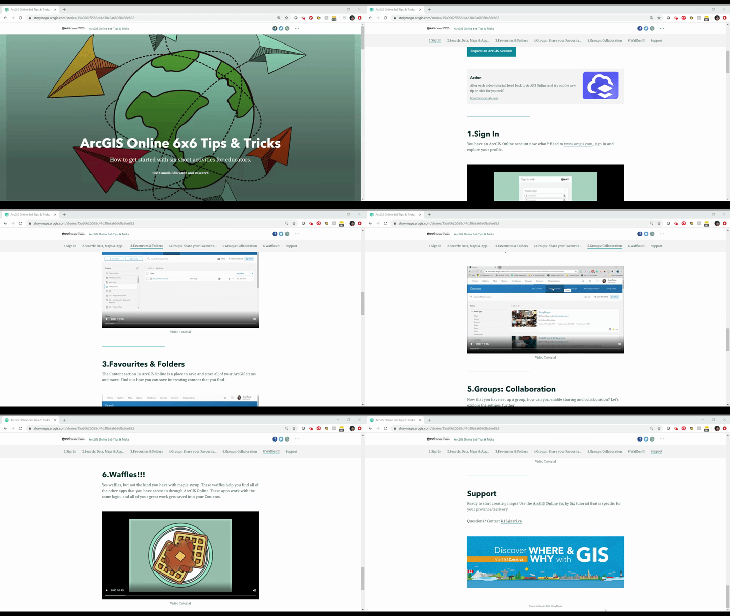
ArcGIS Online 6x6 Tips & Tricks
In this tutorial, you will learn the basics of ArcGIS Online by completing six activities you can do in six minutes each (36 minutes of in-class time).

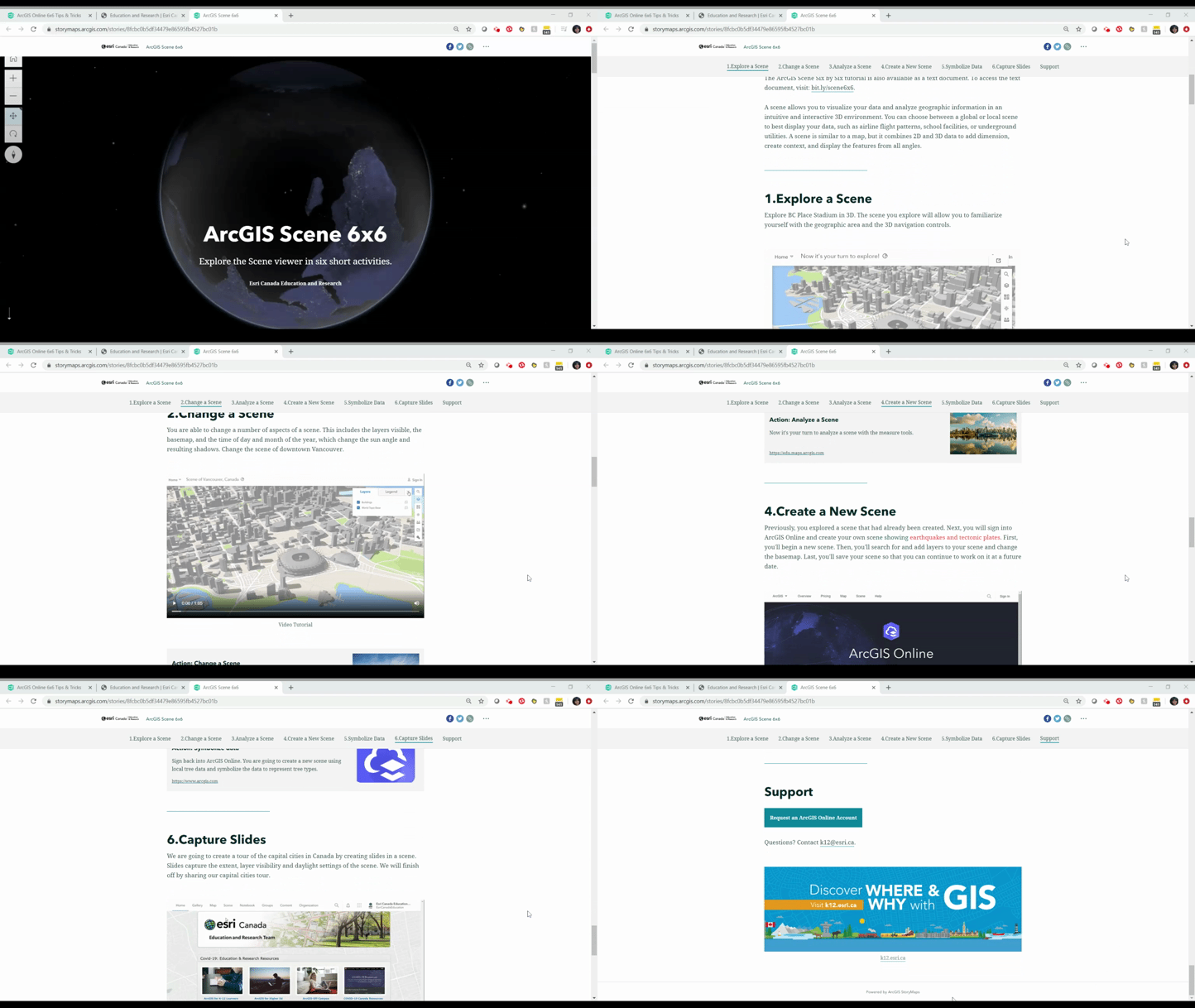
ArcGIS Scene Six by Six
In this tutorial, you will learn the basics of the 3D Scene viewer in ArcGIS Online by completing six activities you can do in six minutes each (36 minutes of in-class time).

French Resources
Cartes narratives - StoryMaps - pour l'éducation
Explorez des cartes narratives - StoryMaps en français sur des thèmes intéressants à aborder avec des élèves du primaire ou du secondaire.
Looking for other resources? Find all of ours at k12.esri.ca/resourcefinder. This includes lessons, tutorials, activities and much more!
Other summer activities include:
2020 Esri User Conference on July 13-15.
The event will include plenary sessions, technical workshops, user sessions, an Expo, and unique networking events. If you are already using ArcGIS in your teaching, then you qualify for complementary registration.
For more information, explore this blog that outlines the registration process. If you have any questions, please contact us at k12@esri.ca.
Esri Education Summit on August 6-7, 2020.
With so much of education moving online, the 2020 Esri Education Summit is moving online too! Join a collaborative user community of forward-thinking educators and administrators sharing innovative best practices and learning about geospatial technology.
- Discover online lessons and resources
- Discuss strategies for engaging with remote students
- Share tips for providing software access in a bring-your-own-device world
- Explore the crucial role of spatial thinking and data literacy in understanding recent world events and in shaping responses
Registration is complimentary and will open in early July. Sessions will run 9 am-2 pm Pacific Time
(12 noon – 5 pm Eastern Time) with sessions for educators, IT staff and facilities staff in both higher education and K-12 education.
New to ArcGIS Online?
If you are new to ArcGIS Online, educators can request an account for themselves and their students at k12.esri.ca/#access. Parents can request accounts for their children using the same link.
Looking for resources to try with your students or kids? Check out the following resources:
- At-home learning during COVID-19 crisis and beyond
Find out how to access ArcGIS Online so that K-12 learners can continue to ask, analyse and act on their learning from home. - Discover ArcGIS Online tutorial
Learn the basics of ArcGIS Online with this quick tutorial. - Getting Started Path for Teachers
Follow this beginner path to build your confidence with online mapping tools. - Six by Six Activity (choose your region)
Six activities you can do in six minutes each - for ArcGIS Online beginners. - Getting to Know the ArcGIS StoryMaps
Try the new ArcGIS StoryMaps builder experience.
Happy Mapping!