Spark Learning with ArcGIS: Fall Edition
Welcome back K-12 educators! Kick off the new school year with fresh inspiration in the latest edition of Spark Learning with ArcGIS - the Fall Edition! Whether you're just getting started or already an ArcGIS user, you'll find creative mapping ideas and ready-to-use resources to support your teaching all year long.
This blog series will include three sections for every season:
- Activity Ideas-– Get inspired to try something new with your students
- Mapping Corner-– Tips and tricks and mapping ideas to try
- Maps, Apps and More!-– Discover cool content to integrate into your teaching
Activity Ideas
Summer Review StoryMap
Want to get your students to share what they did over the summer in a fun and engaging way? Whether they had a family vacation, camp adventures or a staycation – your students can highlight their summer fun in an interactive storymap and share it with the class.
Tutorials:-Discover StoryMaps,-Take StoryMaps to the Next Level
Fall Activities
Map the Fall Harvest
Invite your students to explore seasonal produce by visiting a local grocery store. Ask them to identify fruits and vegetables that are only available in the Fall and to note their countries of origin. Once they are back in the classroom, using the ArcGIS Online Map Viewer – your students can map the locations of where the items are produced. Encourage your students to look for patterns and get the conversation started about food systems, climate and trade.
Resources: Discover Data

Photo by-Zhen Yao-on-Unsplash.
Survey the Fall Colour Change in your Community
Use ArcGIS Survey123 to create a student-led investigation into seasonal change. Have your students collect data on leaf colour and tree types in their local communities. This hands-on activity encourages outdoor exploration while helping students observe and document the natural transitions of fall.
Resources:-ArcGIS Survey123 in Action,-Survey123 tutorial
Mapping Corner
Getting started with ArcGIS
It’s a new school year and you finally want to integrate mapping into your student activities. Here are some introductory resources you can try.
Map it in Minutes
6X6 minute mapping activities for students using ArcGIS Online.
ArcCanada Atlas Activities
The ArcCanada Atlas is an interactive atlas that your students can use to uncover the hidden gems of this incredible country and explore other places in our world. Integrate these activities into your teaching this school year.
Explore the ArcCanada Atlas activities that are ready to use resources for K-12.
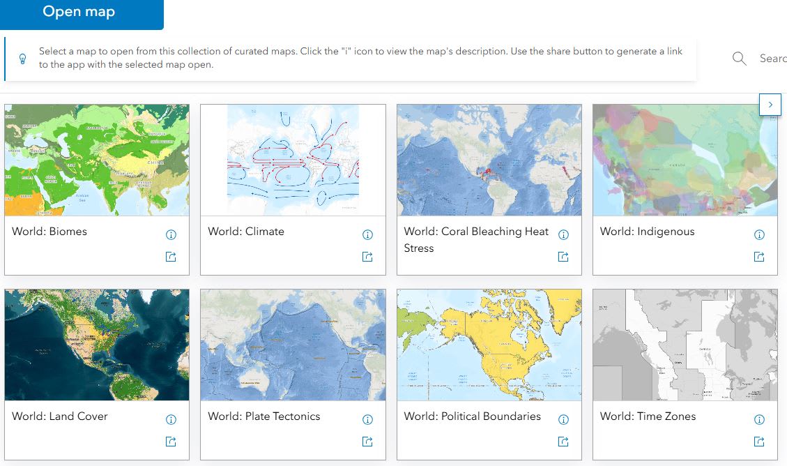
Maps, Apps and More!
Esri User Conference Resources
In July, the annual Esri User Conference was held in San Diego, California. Even for people who didn’t get to attend the event, it is always a very exciting time as new resources are released to support the integration of geographic information systems (GIS) in the classroom, including videos and interactive maps and apps. These resources are designed to enrich learning and make geographic thinking more accessible for students of all levels. Here are a few resources you can start using in your classes:
Videos
The plenary presentations provide a glimpse into what is possible when using ArcGIS software. In this year’s student presentation, high school students from Panama highlighted how they used ArcGIS in understanding climate change in their region. This inspiration can lead to projects of your own.
Maps and Apps
Global Environmental Hexagon Atlas
Explore curated maps that cover topics in biodiversity, ocean protection and species richness.
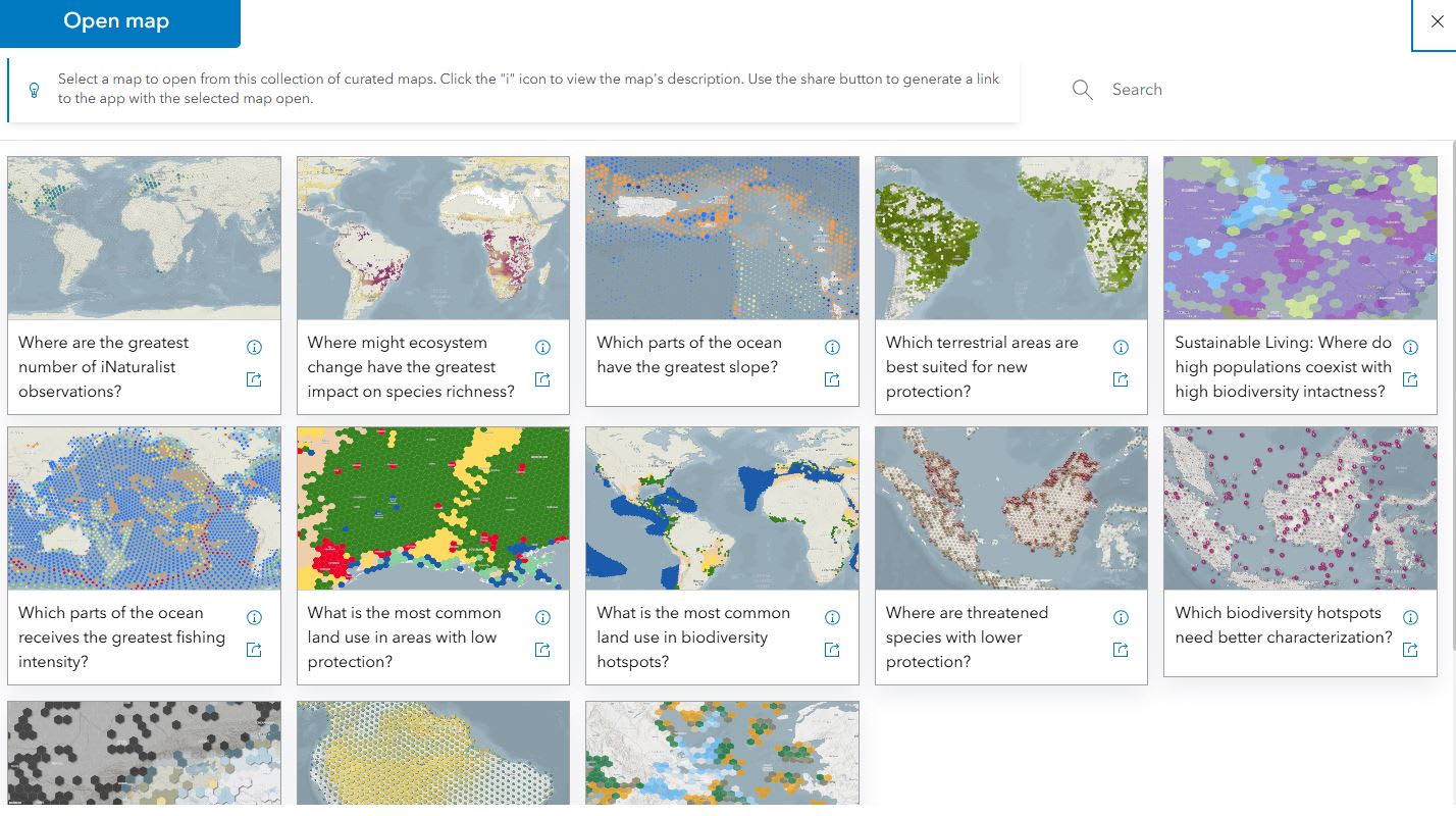
Explore these maps to see what you can use for your class this year.
CHELSA Climate Projects
This collection of maps include data that are essential for ecological and conservation research, allowing users to analyze potential impacts of climate change on ecosystems and biodiversity.
Stay tuned for the next edition of Spark Learning with ArcGIS: Winter Edition, filled with cool ideas to inspire your students’ ArcGIS explorations during the colder months!