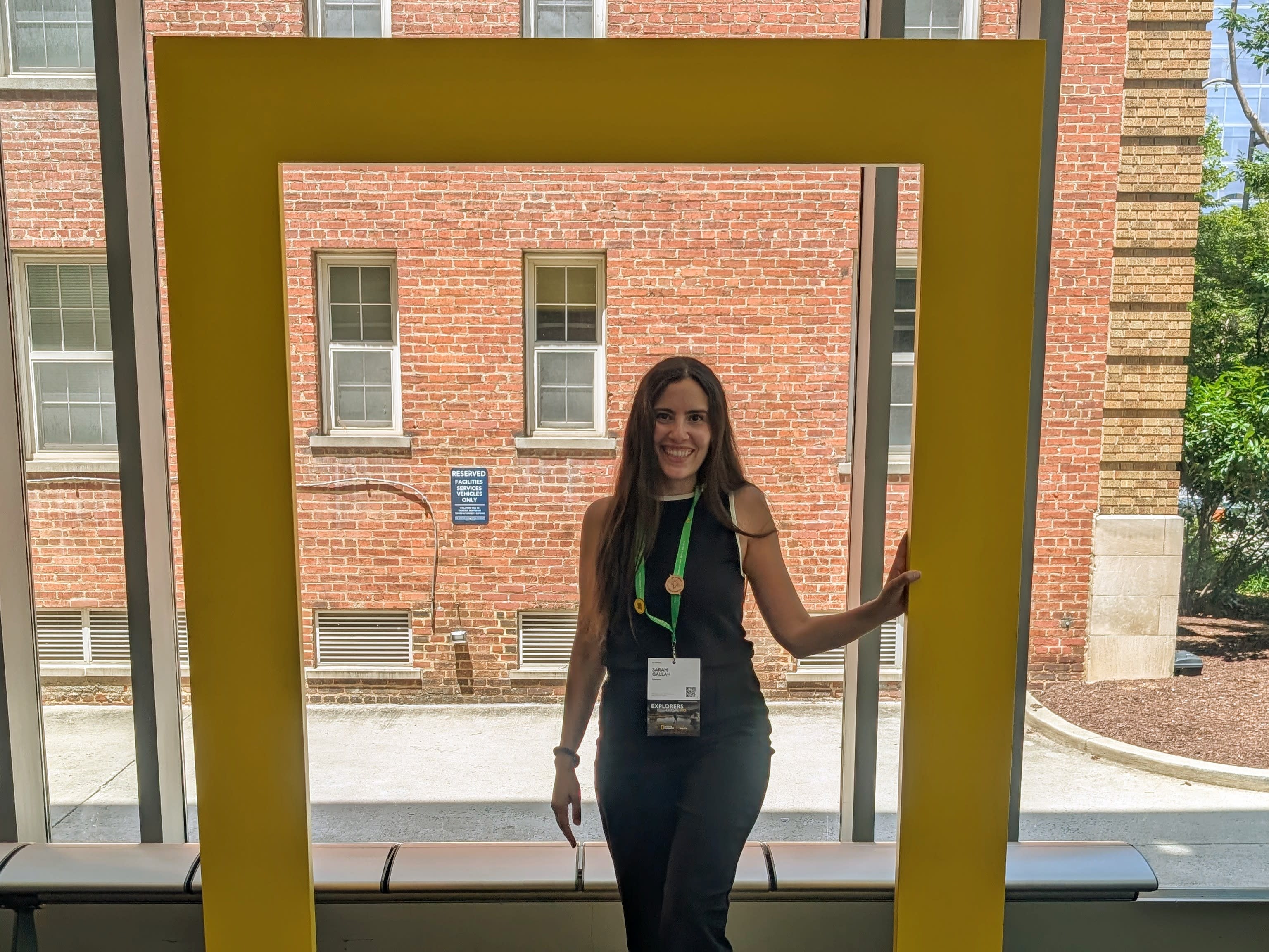
On the Map with Sarah Gallah
Introducing Sarah Gallah, a high school educator with a passion for bringing geography and science to life using ArcGIS StoryMaps. Whether she’s guiding students through projects in her classroom or creating new resources for fellow teachers, Sarah is committed to making spatial learning accessible and engaging.
We first connected with Sarah through her work as a preservice instructor at Lakehead University. Her enthusiasm for spatial technology and her drive to integrate it into both teacher training and high school education immediately stood out.
Recently, Sarah shared highlights from her past school year and gave us a glimpse into her plans for 2025–2026. We are sure her work will inspire and inform educators of what is possible with ArcGIS StoryMaps and why you should use it in the classroom.
Sarah uses ArcGIS StoryMaps in her science and geography classes while also teaching French at a school in Toronto.
ArcGIS StoryMaps in Grade 9 Science
In Sarah’s Grade 9 science class, curiosity leads the way. Students dive into topics they care about, crafting their own inquiry questions and designing experiments to explore them. After documenting their findings in a lab report, they bring their results to life using ArcGIS StoryMaps to combine science with storytelling and spatial thinking. It’s a creative, hands-on approach that makes learning both meaningful and memorable.

The Air We Breathe – a storymap created by one of Sarah’s grade 9 science students from the past school year 2024/2025. Explore Isaac Kim’s investigation on carbon dioxide levels around key places in Toronto.
Work with Preservice Students
Sarah’s work with future geography teachers goes beyond theory as it’s hands-on, tech friendly, and rooted in real-world application. In the preservice course on curriculum and instruction, she introduces tools like ArcGIS Survey123 and ArcGIS StoryMaps to help educators design inquiry-based lessons that encourage exploration and spatial thinking. By weaving ArcGIS into their teaching practice, Sarah empowers new teachers to make geography dynamic, relevant, and engaging from the beginning.
Robyn Moffat a former preservice student of Sarah’s created “Canada’s Natural Wonders,” a storymap where you can virtually travel through Canada to discover the Indigenous stories and geological processes of unique landforms in Canada. This resource was created to connect to the grade 9 Exploring Canadian Geography course that was released at the beginning of the 2024/2025 school year.
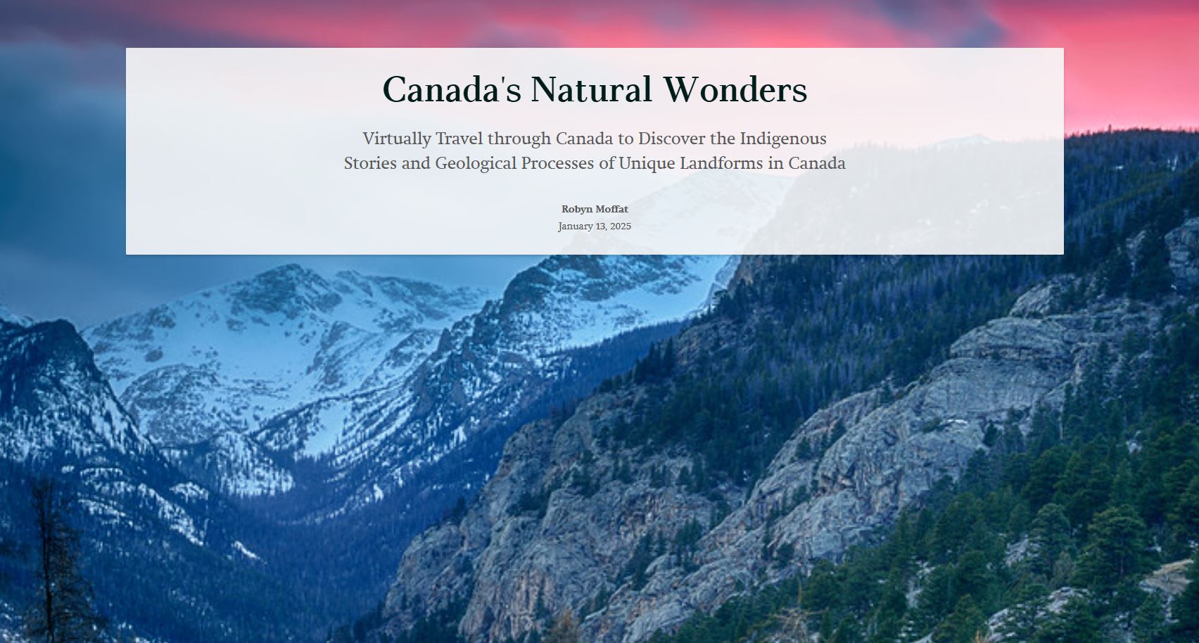
Take a tour with this storymap “Canada’s Natural Wonders” to learn more.
Why StoryMaps?
Sarah believes “storymaps allow students to reflect deeply on how storytelling is an important aspect of making spatial data meaningful, fostering critical thinking, and connecting real-world issues to local environments in ways that are both visual and interactive. “
ArcGIS support for geography educators
Over the past year, Sarah has supported geography educators through her various roles as an executive member of Canadian Geographic Education representing the Ontario region and as a council member of the Ontario Association of Geographic and Environmental Education (OAGEE). Her focus has been on helping teachers to align Canadian Geographic Education resources with the newly added curriculum expectations for the grade 9 geography course.
To support this work, Sarah hosted a webinar in March through OAGEE, where she walked educators through each curriculum expectation and demonstrated how specific resources could be used effectively in the classroom. In April, her school board invited her to deliver the same workshop for secondary geography teachers. She also created resources and a list of curriculum expectations for the educators to use. Connect with Sarah for more information.
What’s Next?
GIS in Education and Research Conference
Sarah will be co-presenting with Angela Alexander at the GIS in Education and Research Conference on October 16th, 2025, at the University of Toronto, Hart House. The workshop will focus on ArcCanada Atlas.
Science Teachers Conference
In November, Sarah will be presenting the Tides of Change storymap at a science teachers conference. This resource was created through the connections she made at the National Geographic Explorer-Educator Exchange program, which enabled the development of educational material supporting marine outreach efforts in Sri Lanka.
The session will focus on marine conservation on the Sri Lankan coastline and student-based data collection. The goal is to teach educators how to use the Tides of Change storymap and accompanying educator guide, to engage students in activities that bring marine conservation to life and learn about Sri Lanka’s unique marine ecosystems while also encouraging students to connect conservation concepts to their own local environments. Topics include coral bleaching, microplastics, and unsustainable fishing practices.
New Esri Canada K-12 resource
Coral Bleaching and Marine Biodiversity is a new ArcCanada Atlas activity inspired by Sarah’s Coral Bleaching activity.
It's exciting to work with educators who have great ideas and are always looking for ways to engage students in their learning. Thank you, Sarah, we look forward to what’s next.
Inspired to get started with ArcGIS StoryMaps?
K-12 educators can sign up today at k12.esri.ca. Begin your journey with the following resources:
Discover StoryMaps
Step-by-step instructions and videos on how to create your first ArcGIS StoryMap.
Take StoryMaps to the Next Level
How to make your storytelling more engaging and interactive.