Discover the freshest ArcGIS resources to try this Fall
Looking for relevant and engaging ArcGIS resources to kick off the fall? We got you!
Browse the latest ArcGIS resources that have been added to the Esri Canada K-12 Resource Finder to incorporate maps and analysis into your geography, social studies and environmental science classes.
Mapping the Future: How GIS Tackles Climate Change
Explore how GIS empowers us to understand, mitigate, and adapt to climate change for a more sustainable future. This resource includes a collection of lesson and activities for students to complete.
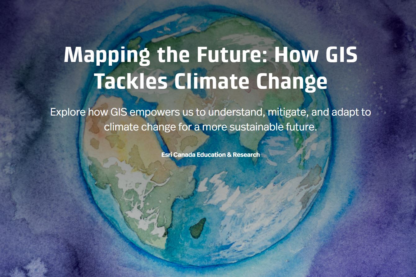
Find out how GIS can be used to understand Climate Change.
Lessons and Activities
Urban Trees: Battling Heat, Climate Change, and Crime
In this lesson, you will use ArcGIS Online to analyze and identify optimal locations for planting public trees in Windsor, Ontario to support the goal of a healthier and more sustainable city for its residents. Your assessment will consider factors such as land surface temperature, existing tree coverage, population density, heat vulnerability index, and incident reporting.
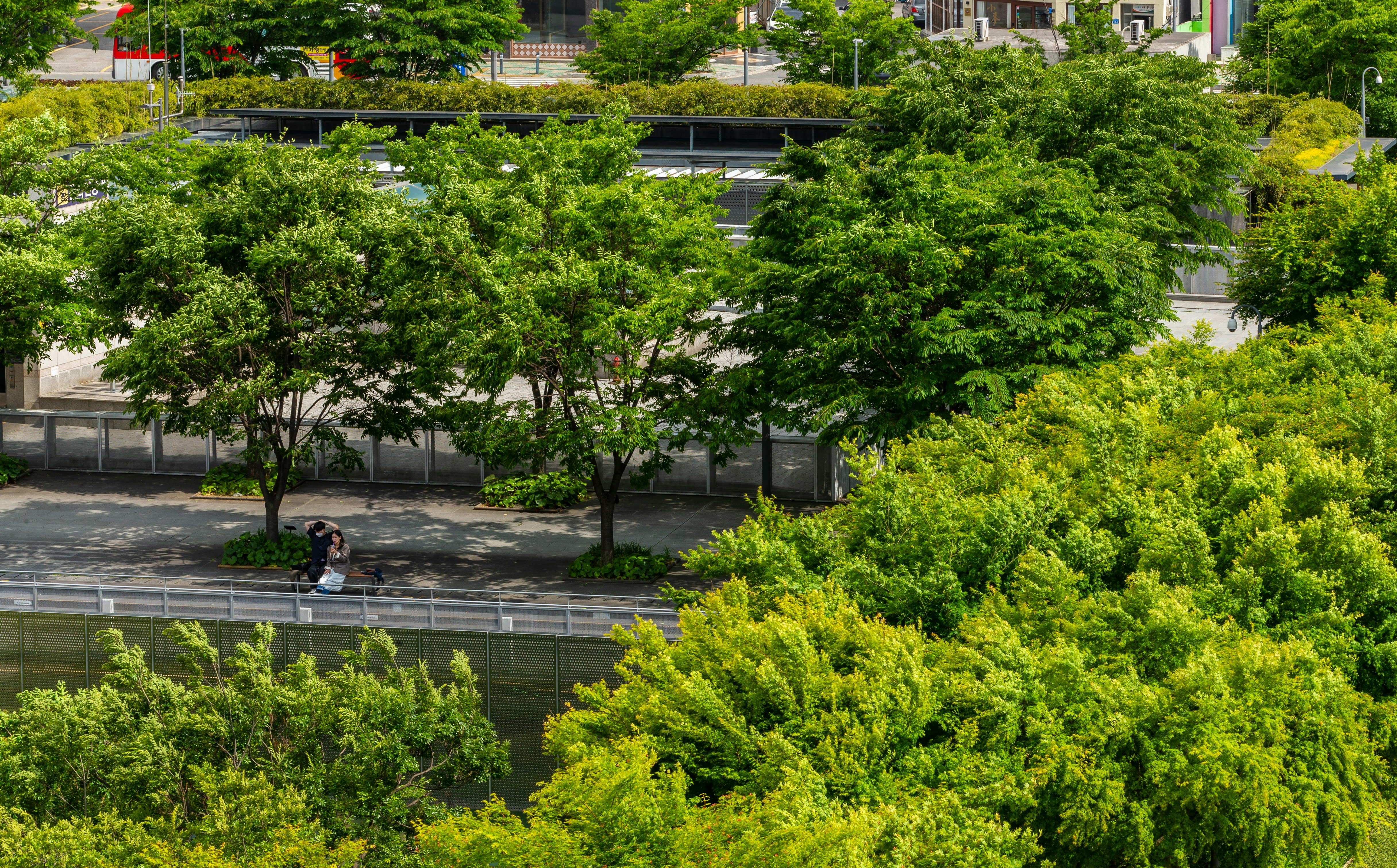
Urban trees can provide many benefits to its citizens. In this lesson, you will use ArcGIS Online to analyse and assess where to plant more public trees in Windsor, Ontario. Photo by ASIA CULTURECENTER on Unsplash.
Invasive Species: Emerald Ash Borer
In this lesson, you will use ArcGIS Online to explore, assess and analyse tree data related to the EAB issue in Oakville.
ArcCanada Atlas Activity Collection
Explore and understand national and global geography, history, and culture through this collection of interactive activities and create your own maps.
Heat and Cool Islands
In this activity, students will identify the elements of urban areas which can affect the temperature and create heat island and cool island effects.
HDI: The Human Development Index (Updated)
In this lesson, you will explore components of the HDI and to consider how they relate to assessing quality of life around the world. You will analyse how these indicators and others work together to provide a comprehensive snapshot of life quality.
Course Collections
PEI Grade 6 Social Studies Course Collection
A collection of teaching & learning resources to support the use of geographic information systems (GIS) in the Prince Edward Island Grade 6 Social Studies course with a special focus on DK2.1.
Ontario Grade 9 Geography De-streamed Course Collection
This is a collection of teaching & learning resources to support the use of geographic information systems (GIS) in the Ontario Grade 9 Geography De-streamed course.
French Resources
Les îlots de chaleur et de fraîcheur
In this activity, students will identify the elements of urban areas which can affect the temperature and create heat island and cool island effects.
Inspired to get started with ArcGIS Online?
K-12 educators can sign up today at k12.esri.ca. Begin your journey with the following resources:
Let’s get started with ArcGIS Online
Self-guided learning for K-12 educators
Check out other resources at k12.esri.ca/resourcefinder.