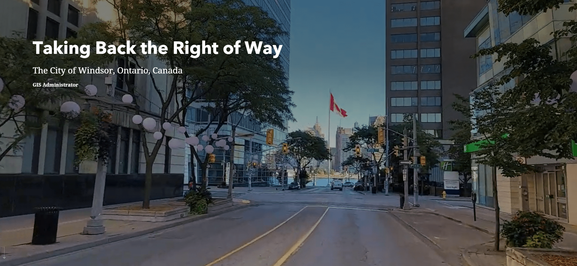
Map-based Storytelling: City of Windsor’s Approach for Engaging Presentations
The City of Windsor said farewell to ‘death by PowerPoint’ and created an engaging and informative ArcGIS StoryMaps story that was used to deliver a presentation in a unique and captivating way. Beyond a great presentation tool, the story itself continues to serve as a one-stop-shop for residents to learn about all things Rights of Way within the City of Windsor. Read about how the team at the City of Windsor worked together to create their story: Taking Back the Right of Way!
You know when you attend a conference and you see a presentation that makes you think “why have I never thought of this before?”. That’s exactly what happened to me when I attended the Right Of Way Management Conference last fall and sat in on a presentation by the City of Windsor called ‘Reclaiming Control of Right of Way Management’. What did I find so compelling about the presentation? Well, instead of the usual PowerPoint route, the City of Windsor delivered their entire presentation via ArcGIS StoryMaps!
I’m sure almost everyone has heard of the saying ‘death by PowerPoint’ at this point in their careers, so it was such a refreshing change of pace to see a presentation delivered in a unique and captivating way. It helped that the presenters, Sandy Mio, Amy Olsen, and Mark Schaffhauser, worked closely with their GIS Supervisor, Carter Day, to create a story that was engaging and informative. They really liked what they could do with ArcGIS StoryMaps over a traditional PowerPoint presentation to tell their story and they took their ideas and ran with it. Plus, their story took advantage of all the latest functionality, including embedding web maps and apps, videos, and even polls, which allowed the presenters to gather audience feedback in real time! Also, when your polls contain gifs like this, how can your audience not be engaged? What can I say, I’m a sucker for a good gif (I mean, we all are, right??).

Additionally, beyond a great presentation tool, the story itself continues to serve as a one-stop shop for residents to learn about all things Rights of Way within the City of Windsor, as well as the processes in place , including Permitting and Encroachments, Flood Mitigation Programs, the Utilities & Citizen Portal, and New Fees and Initiatives.
Check out the City of Windsor’s ‘Taking Back the Right of Way’ story and maybe get some ideas for your next presentation! Full disclosure – I absolutely ended up ditching a PowerPoint template in favour of ArcGIS StoryMaps for an internal presentation I did late last year, and let’s just say….
