Mapping Futures: A GIS Pathway for K-12 students
Curiosity is a powerful force. A simple question like “Why is this happening here?” on a map can spark an inquiry, a project, a passion, and possibly a career. Discover why and how you as an educator can guide your students’ interest in mapping into an educational and career journey with GIS.
Why GIS Belongs in Every Classroom
K-12 educators have an opportunity to turn student inquiry into something lasting. As Geographic Information Systems (GIS) isn’t just another digital resource - it’s a tool to gain a deeper understanding of the world and is a gateway to future opportunities. And you, as an educator, can be the one who opens that door.
GIS helps students engage in their learning and make sense of the world through data, patterns, and place. When students map the sustainability of their community, analyze climate impacts, or visualize social issues, they’re not just completing an assignment, they are building critical thinking, spatial reasoning, data literacy, and communication skills. These are the skills that employers across sectors are actively seeking in today’s workforce and they are skills students can start developing right now, in your classroom with GIS.

GIS applications can be found in many sectors in Canada and globally.
A Unique Advantage: ArcGIS is Free for all K-12 Schools in Canada
Every K-12 school in Canada has free access to ArcGIS – a GIS platform that provides users tools like ArcGIS Online, ArcGIS StoryMaps and ArcGIS Survey123 to create maps, conduct data analysis, tell a story in an interactive format, collect data and much more. That means your students can use the same professional tools that governments, researchers, scientists, industry experts, and decision makers use every day to understand the world and take meaningful action to improve it.
Resources for K-12
Two resources help educators and K-12 students understand how GIS is a pathway.
GeoMinds
GeoMinds is a resource for K-12 educators, guidance counsellors and students. It shows how GIS fits into curriculum, highlights real-world applications, and outlines post-secondary programs in geomatics, geography, environmental science, planning, data science, and much more. It also showcases how GIS is used across Canada and globally from wildlife conservation to public health to urban planning.
Career Path Series
The Career Path Series gives students a hands-on look at how professionals use GIS in their work. There are currently eight lessons and two additional resources that cover ways that GIS is used in different sectors in Canada. It’s practical, engaging, and directly connected to real careers with a spotlight on a professional.
These resources help students see GIS not as a niche technical skill, but as a powerful tool that builds global competencies required for a wide range of careers.
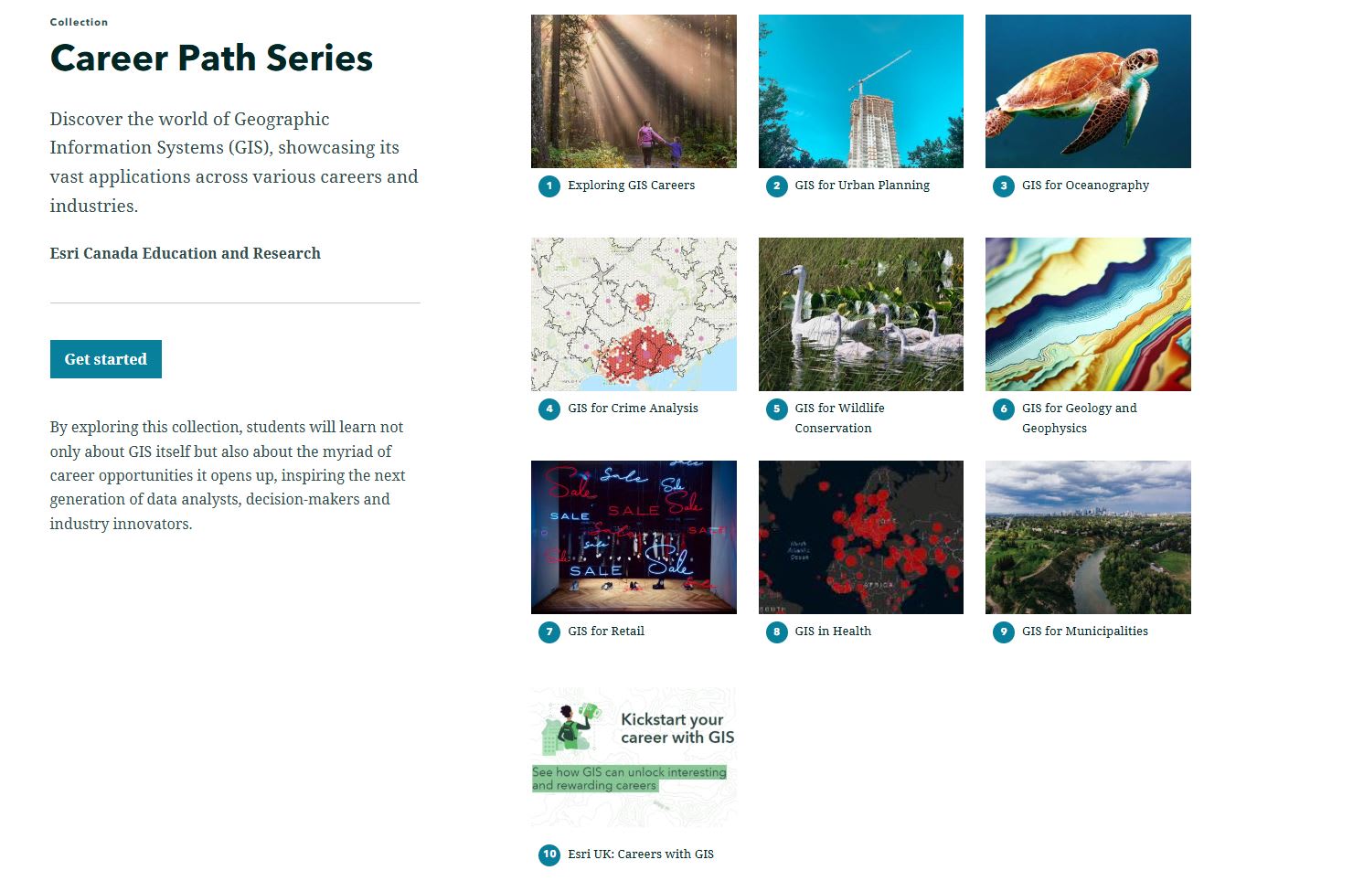
A collection of resources that showcase how GIS is used and students can complete hands-on activities connected to each of the eight lessons included.
Introductory Resources
These resources are a great way to explore the basics of ArcGIS and access relevant maps and data.
Map it in Minutes
6X6 minute mapping activities for students using ArcGIS Online.
ArcCanada Atlas
The ArcCanada Atlas is an interactive atlas that your students can use to uncover the hidden gems of this incredible country and explore other places in our world. Integrate these activities into your teaching this school year.
The Pathway Exists: From K-12 to Higher Education to the Workforce
When students start with GIS in K-12, they enter post-secondary programs with an advantage as they have gained important life skills like critical and analytical thinking that can be further developed in college or university.
Across Canada, colleges and universities offer programs in GIS and Geospatial Technology, Geomatics, Geography, Environmental Science, Urban Planning, Data Science and much more!
These programs lead to careers in different sectors include but are not limited to:
- Environmental conservation
- Public health
- Emergency management
- Urban planning
- Natural resources
- Business analytics
- Transportation
- Technology and software development
- Explore how GIS is used everywhere for everything!
On the Map with Real Examples
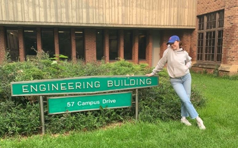
Aidan Hawkins
Discover how GIS shaped Aidan Hawkins’ career path – from grade nine geography to his current role as a planning technician in the Niagara Region.
Delaney Houlihan
Find out what happens when a university student, Delaney Houlihan is introduced to geographic information systems (GIS) in high school and finds a genuine passion for it.
Discover what unfolds when a university student is introduced to geographic information systems (GIS) in high school and finds a genuine passion for it.
A Call to Action
If you’re a K-12 educator, now is the moment to act.
- Explore GeoMinds to see how GIS can be used in K-12, post-secondary education and the real world.
- Request you and your students’ ArcGIS accounts –it’s at no cost!
Great news! Many school boards already have single sign on set up so accessing ArcGIS can be even easier. Contact us to find out. - Introductory ArcGIS activities:
- Try an ArcCanada Atlas activity first
- Complete Map it in Minutes
- Use the Career Path Series to show students what’s possible beyond K-12.
- Students can try hands-on activities to learn more about how GIS is applied to certain sectors.
- Contact us at k12@esri.ca if you have any questions
Happy Mapping!