Turning hikers into eco-advocates using GIS mapping technology
The Sentier national au Québec (Québec National Trail) is over 1,500 km in length and crosses more than 100 protected areas in southern Québec. But not all of the trail is well protected. In recent years, non-profit Rando Québec has been building a proposal to create a protected area to 300m on either side of the trail (for a total buffer zone of 600m)—a proposal powered by geographic information system technology (GIS) from Esri. Discover how Rando Québec is using GIS to bring the story of the Sentier national to hiking lovers across the province.
Rando Québec is a non-profit organization based in Québec that promotes hiking and snowshoeing in the province by giving hikers the tools to understand and enjoy their environment responsibly. With approximately 12 employees, the organization is small but powerful.
To understand how they’re using Esri technology to advance their mission, I spoke to Frédéric Minelli, a GIS analyst who’s been using the software to create interactive applications for Québecois environmental organizations for years. Frédéric started with Rando Québec in 2020 and established the organization’s geomatics function as one of his first major projects. His team now handles all GIS-related questions and projects for the organization, including the development of communication tools that make Québec’s trails more accessible to the general public.
The Sentier national au Québec: unprotected and at risk
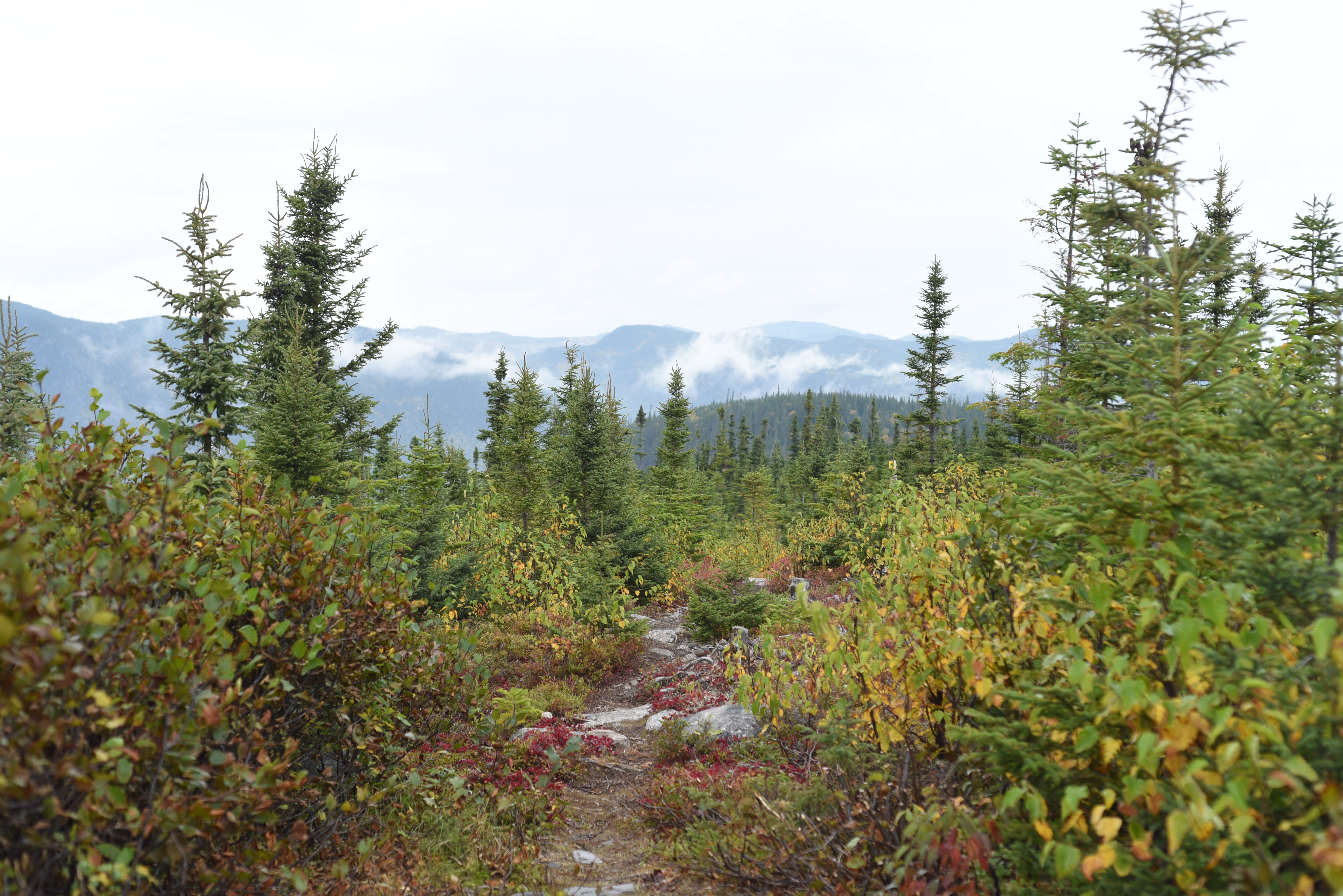
The Sentier national au Québec (Québec National Trail) is over 1,500 non-continuous km in length and crosses more than 100 protected areas in the southern part of the province. Users of the trail can cross through multiple biomes, including old-growth forests and wetlands, encountering over 71 protected plant species and 35 protected animal species along the way. If a trail user were to travel the whole 1,500 km extent of the trail, they would encounter over 440 scenic viewpoints, lookouts, waterfalls and observation towers.
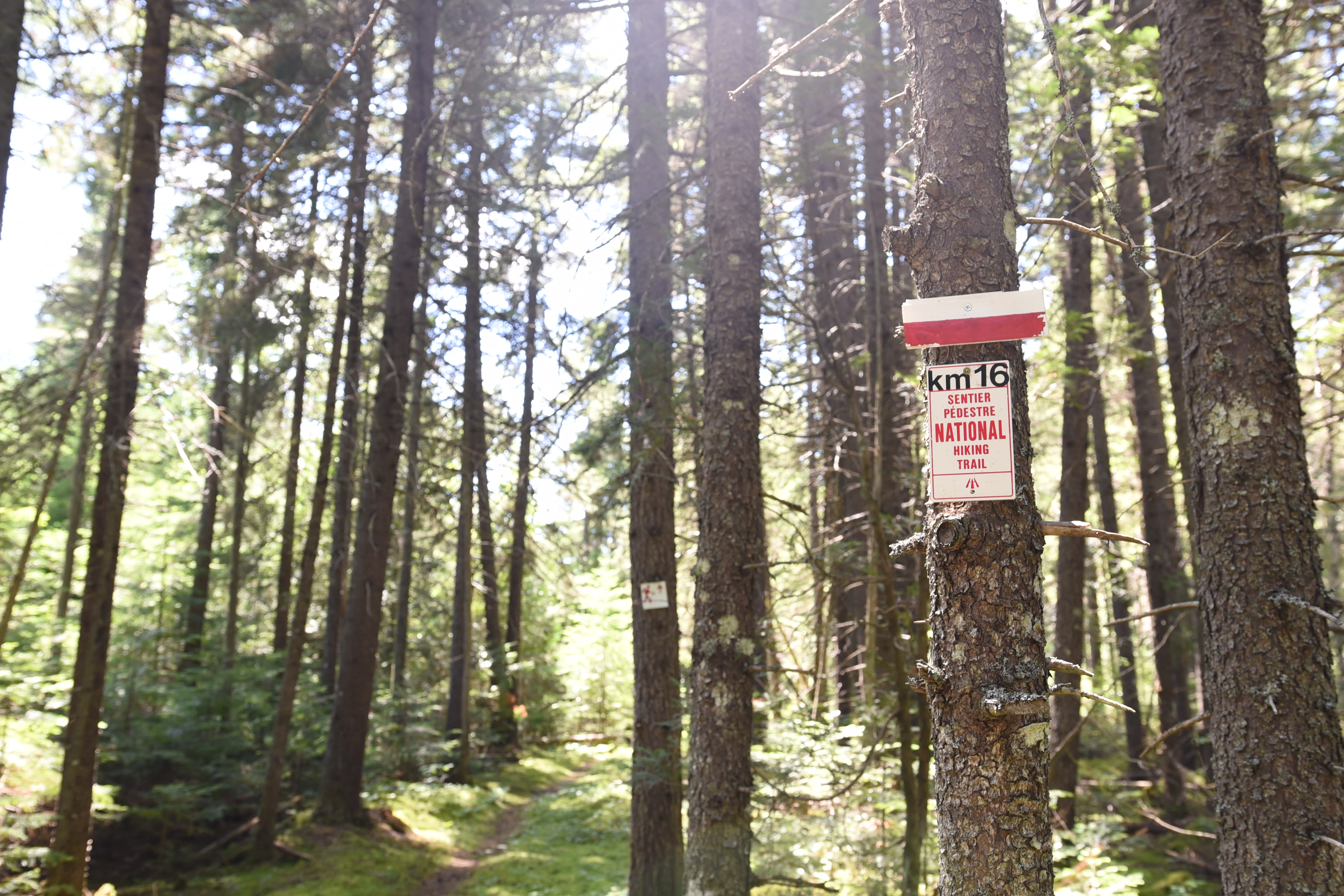
Photo credit: D. Caron
Despite its natural heritage, the Sentier national isn’t thoroughly protected under law except in locations where sustainable forestry regulations apply. According to Rando Québec, the protection currently in place isn’t enough; it also doesn’t guarantee a great experience for trail users. Some parts of the trail also have interest both to outdoor recreationalists and to private industry, putting those parts of the trail at risk of disturbance by forestry or mining activities.
Rando Québec and the Société pour la nature et les parcs (SNAP Québec) have been working together to develop a proposal to enlarge the protective buffer zone around the Sentier national to 300 m (600 m total, accounting for protection on both sides of the trail). The goal: to make the trail into one vast cross-provincial ecological corridor.
But a proposal of this magnitude needs to reach people if it means to succeed. Rando Québec and SNAP Québec had to decide how to communicate this proposal to a wider audience in a way that would be accessible and appealing.
How to build a great proposal for a new ecological corridor? Support it with data
To bring their proposal for expanded protections to life, the Rando Québec team had to first collect the data to support it. This represented a significant effort for Frédéric’s team and meant collecting data about threatened plant and animal species, as well as data about the forest more broadly.
In addition to data obtained and provided by SNAP Québec from the Centre de données sur le patrimoine naturel du Québec, Rando Québec conducted research using Québec’s open data site. The open data used included information from the Ministre des Ressources naturelles et des forêts. With the data collected, the team then extracted what they needed based on the proposed 600-metre buffer zone all along the Sentier national.
Following the data collection phase, Rando Québec converted their data into a geodatabase using Esri’s ArcGIS Pro software, then transferred that geodatabase to ArcGIS Online. This would allow the Rando Québec team to use the data to develop widely shareable information products—including an ArcGIS StoryMaps story.
Getting the proposal to a wide audience using ArcGIS StoryMaps
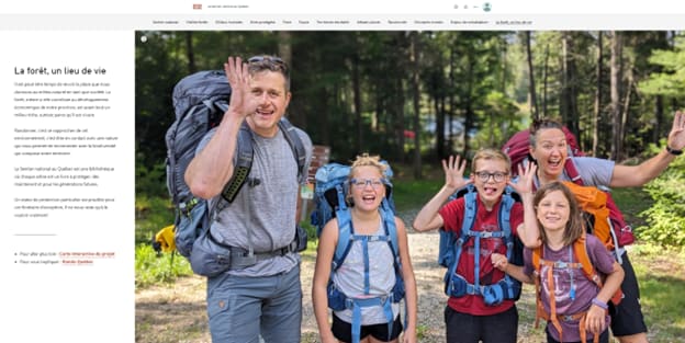
Because Rando Québec wanted their proposal to reach a wide audience—including environmental and hiking professionals, trail users (including hikers and snowshoers) and the general public—they knew they needed to present the information in an appealing and shareable way. Given the large volume of complex data that Rando Québec wanted to talk about, putting that data in spatial context would make it more understandable to more people. And while they were primarily interested in disseminating their proposal, Rando Québec also wanted to share the rich biodiversity and cultural heritage of the Sentier national to help the public deepen their understanding of their environment.
After all, at over 1,500 km long, and being that it passes through so many different biomes, the Sentier national is a potential ecological corridor. If protected, the Sentier national could contribute to the health and wellbeing of Québec and its people for years to come. In Frédéric’s words, “it’s not just a trail, it’s a whole ecosystem—a living mosaic.” Communicating that fact would, ideally, bring more people onto the trail and into a place of wanting to advocate for nature.
The Traversée de Charlevoix is one of the many trails that are counted as part of the Sentier national au Québec. The trail connects Grands-Jardins National Park to Mont Grand-Fonds in southern Québec and boasts impressive biodiversity and natural beauty.
More interactivity means more engagement
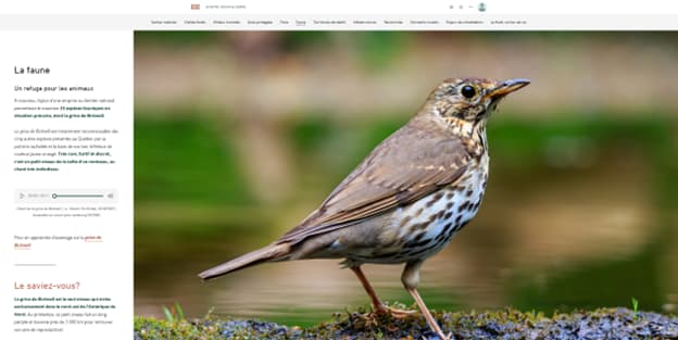
Using ArcGIS StoryMaps allowed Rando Québec to capture the complexity of the Sentier national in an interactive experience. Their ArcGIS StoryMaps story, entitled “Le Sentier national au Québec : Reconnecter l’humanité à la biodiversité”, is the result. Clickable elements on each map generate informational popups with photos and short descriptions. The interactive elements make the information about the Sentier national more attractive, attention-grabbing and attention-retaining.
On top of interactivity, ArcGIS StoryMaps also offered Rando Québec the ability to integrate multimedia into their story. Videos and sound enhance the textual elements. The story also features the calls of one threatened bird species, adding further dimension to the storytelling.
A look and feel that connects Québécois hikers to the proposal
The maps featured within the story have also been tailored to use Rando Québec’s established cartographic standard, ensuring that the story replicates the signature look and feel of an official Rando Québec map and makes the story resonate with other hiking maps developed by the organization. This way, the ArcGIS StoryMaps story feels like it’s part of a broader effort—like it speaks the same language as other hiking maps.
Turning hikers into environmental advocates
Rando Québec’s story has been a useful tool not only for sharing online but also for getting—and keeping—audience members’ attention at live presentations. Overall, audience feedback has been great.
Just as the Sentier national is more than just a trail, the StoryMaps story that Rando Québec has developed is more than just a map. Now, people can get more context for the parts of the trail that are closest to them. They can understand the trail in its provincial context, too, and as an ecosystem in and of itself. Some users have even said that the story has given them a new awareness of the biodiversity and cultural heritage of the Sentier national.
Rando Québec’s hope is that this tool and tools like it will change how people see hiking and the Sentier itself. Through communications like this, they hope that the public will become more aware of the importance of protecting the ecosystem. After all, if the ecosystem suffers, then so too does hiking.
Will they use StoryMaps again?
Rando Québec says yes. It’s become an essential tool for mass communication that they say they’ll reach for automatically.
Want to discover more stories about public engagement using GIS technology? Watch our video about how a city in New Brunswick used ArcGIS StoryMaps to collect feedback on planning scenarios, or read our blog post about how a company pivoted to StoryMaps for public engagement during the height of the COVID-19 pandemic.
Explore Esri’s storytelling solutions