Annika Widell’s journey through the Associate GIS Professional Program
Are you a new or upcoming graduate of a GIS program at a Canadian university? Are you wondering what the next steps in your GIS career are? Annika Widell had all the same questions before joining Esri Canada’s Associate GIS Professional Program and in this blog post, she talks about her journey through the program and how the program has shaped the start of her GIS career.
What is Esri Canada’s Associate GIS Professional Program?
The Associate GIS Professional Program was established to help recent GIS graduates pave their way into the Canadian GIS workforce. The program encourages people who are passionate about GIS, new to their GIS career or unsure about their career direction, or who aspire to pursue a career with Esri Canada. If this sounds similar to you or someone you know, then you can discover more about the program, the application process or possible career paths.
What brought you to Esri Canada’s Associate GIS Professional Program?
Prior to joining Esri Canada, I was finishing up a GIS program at the British Columbia Institute of Technology (BCIT) and found that while I was passionate about GIS, I was still unsure about what I wanted to do with all this new knowledge and information. I knew that I loved working with Esri technology and improving my developer skills, but a niche interest (even more niche than GIS itself!) seemed hard for me to grasp. After hearing about the program, it was an obvious decision that I would apply. I felt encouraged by the program’s leaders throughout my interview process and felt that the program offered a chance to explore various departments while giving me the space to determine in which direction I wanted to move forward.
What are your key takeaways from the program?
Networking
The first key takeaway is the amount of networking I have been exposed to during the program. The journey of working in different departments meant that I got to meet many coworkers and customers across Canada. In addition, I participate in the Your Professional Network (YPN) committee, where I help organize Esri Canada networking events internally and externally.
Mentorship
Another main takeaway from the program has been the mentorship I’ve received from various colleagues and departments in the company. Associates are paired up with a mentor in the company who provides us with guidance and advice about the company and our career path. In addition, through each of my secondments, I had a department-specific mentor who provided guidance with the work I was assigned. The program’s commitment to mentorship helped guide where I could utilize my skills and where I could improve.
Training
There is a continuous learning mindset within the program, and we always have the opportunity for training. This presents itself not solely in department training but through instructor-led and independently paced Esri Canada training courses, as well as external courses. I have taken a wide range of courses on topics ranging from ArcGIS Enterprise to Python scripting with ArcGIS and many more. Associates have also taken communication and service skills courses that build their soft skills, which are useful when working with coworkers and customers.
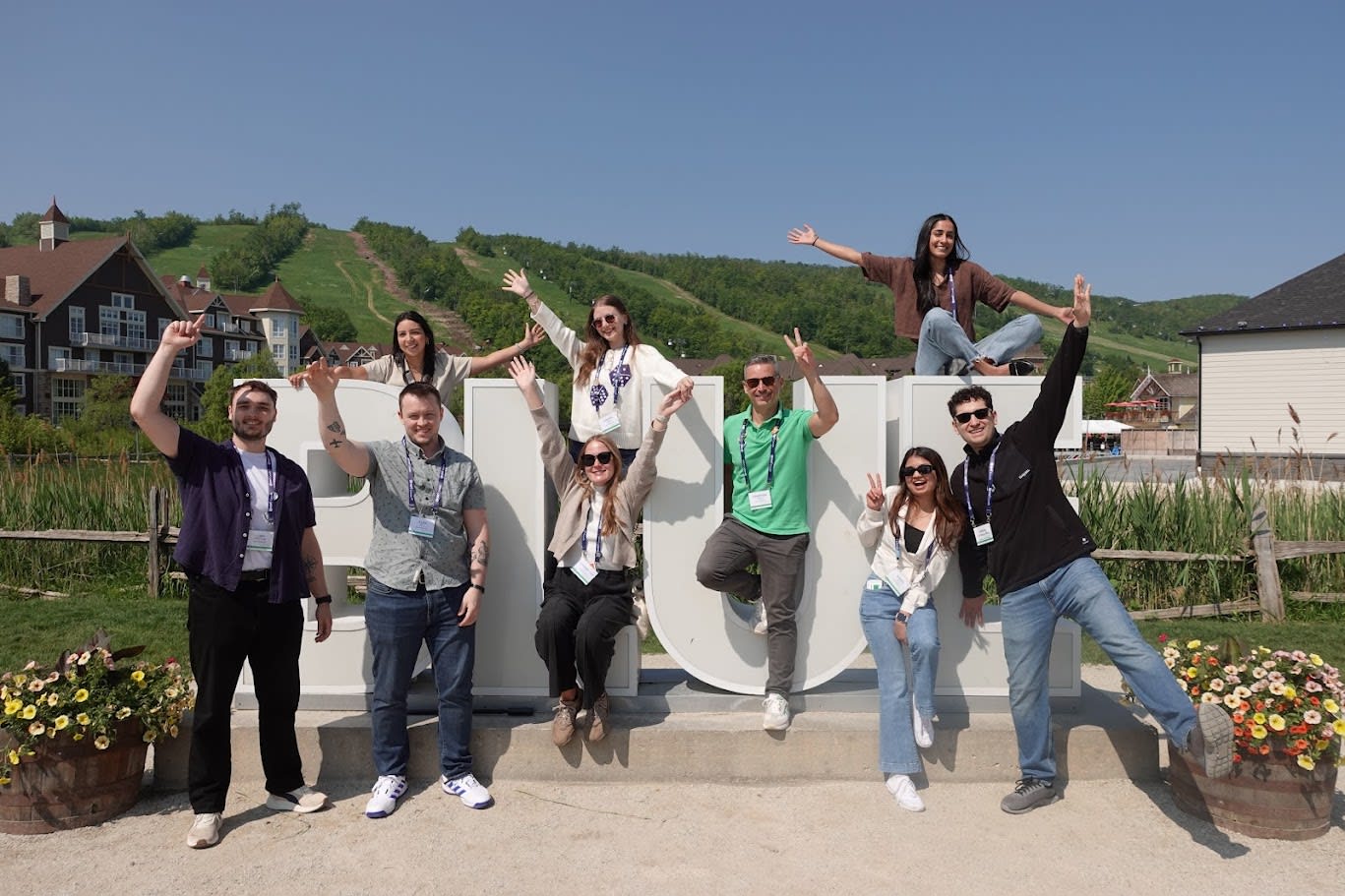
The Associate GIS Professional Program at Esri Canada’s Inspire 2025 employee event in Blue Mountain, Ontario in June 2025.
Have you faced any hurdles in your GIS career and how have you overcome them?
I’ve faced my share of hurdles! Every day presents a new challenge and going into it with confidence is my key to figuring them out. From the beginning of my time at Esri Canada, I’ve always kept in mind that there are resources and colleagues to help anytime. This program helped me learn that asking questions is never wrong and there is no expectation for you to know everything! I choose to approach each situation with a curiosity- and learning-based mindset and aim to learn new things from each situation that arises. Some of the main tactics I follow are working back through a problem step by step, as well as gaining perspective from others, and trying to understand the root of the problem.
What placements have you completed in the program and what have you learned from them?
Technical Support
For the first six months of the program, I started in Technical Support for ArcGIS Online, apps and ArcGIS Pro. After a thorough onboarding process that included mock cases and troubleshooting games, my fellow associates and I began taking customer support cases. These support cases ranged from troubleshooting error messages to giving advice on workflows to setting up software and much more.
Throughout this secondment, I developed skills around best practices for troubleshooting, communicating with customers and learning the ins and outs of many Esri products. One of the greatest things I learned on this team is the impact of working together, whether with customers or colleagues. I was part of many calls where colleagues and I brain-dumped our thoughts, with everyone coming together to figure out the best path forward!
Community Map of Canada
The Community Map of Canada team works on building a vector basemap from data collected from participating organizations across Canada. While working with this team, I was exposed to workflows for obtaining customer data and setting it up for upload into the Community Map. In addition, I worked closely with Esri Canada’s Living Atlas team to ensure that Esri Canada’s items fulfilled requirements for uploading to Esri’s Living Atlas of the World. I was able to improve my field mapping, documentation and developer skills while working with this team.
Check out this video for more information about the Community Map of Canada team.
Public Works
From May to September 2025, I worked with Esri Canada’s Public Works team, which was a shift from my previous two secondments. The Public Works team focuses on asset management, specifically with Trimble (formerly Cityworks) software. During my time, I helped with configuring customer sites to their preferences, attending customer meetings including end user training workshops and assisting customers in migrating their GIS data for use in Trimble software. This secondment allowed me to work closely with customers, utilize Trimble software in collaboration with Esri software and improve my developer skills with automated workflows using Python scripts. Learn more about Esri Canada’s Public Works team.
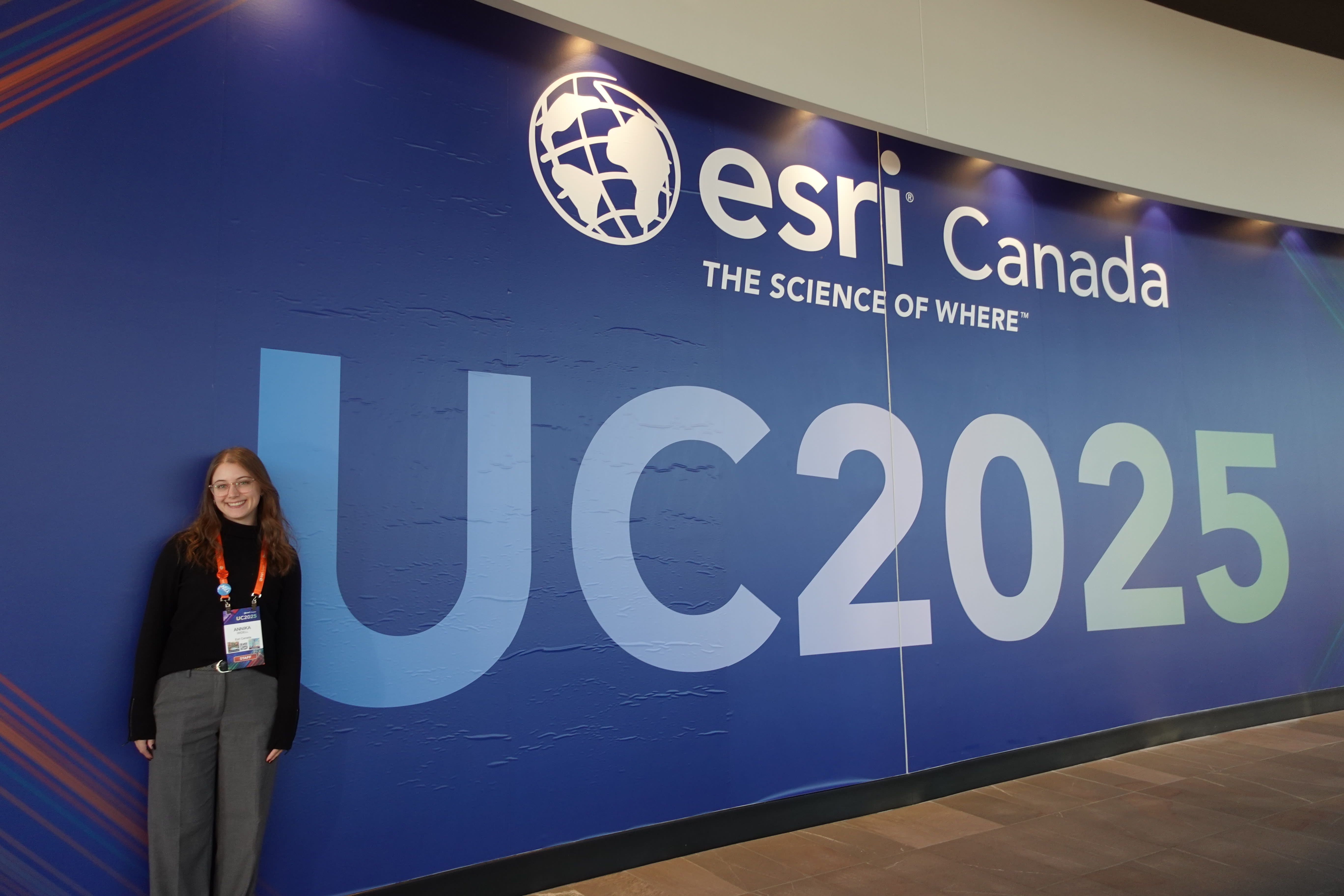
Annika attending the Esri Canada User Conference in Toronto, Ontario in November 2025.
Where are you heading now with Esri Canada?
In October 2025, I started working as a consultant on Esri Canada’s Public Works team, where I have focused on the same tasks as I did during my placement, in addition to having more responsibility. I have enjoyed the ability to work closely with customers and help ensure their organization’s asset management systems are as efficient and up to date as possible. I am looking forward to continuing my time with Esri Canada and can’t wait to see where the rest of my GIS career goes!
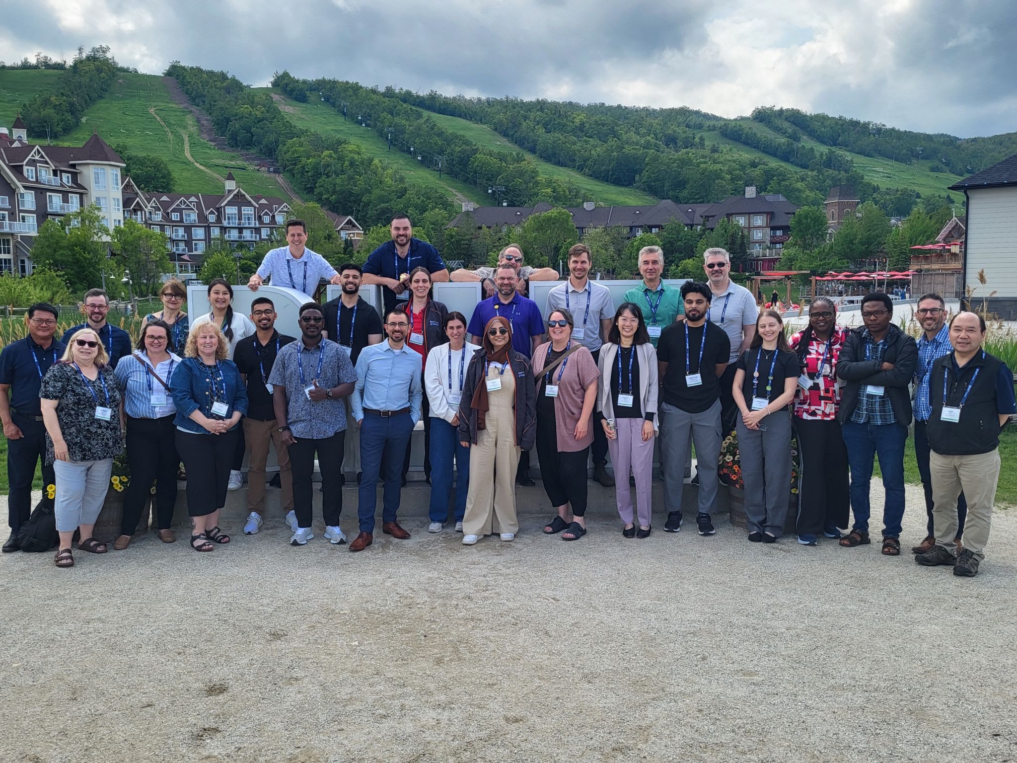
The Public Works Team at Esri Canada’s Inspire 2025 employee event in Blue Mountain, Ontario in June 2025.
My final quick tips!
- Put yourself out there and create a good network in the GIS community—we are a mighty bunch and having a strong community is key.
- Figure out your strengths and where you would like to improve and make concrete steps to make those improvements happen.
- Stay up to date with GIS-related software and news. Things are constantly changing and there’s always exciting new stuff to learn and explore.
- And lastly, if it applies to you, consider applying for the Associate GIS Professional Program and kickstart your GIS career with us!