Spark Learning with ArcGIS: Summer Edition
Summer is around the corner, and whether you’re looking for ways to finish the school year strong or planning fun learning projects for the break, the second post of our Spark Learning with ArcGIS blog series is here to help.
This blog series includes three sections for every season:
- Activity Ideas – Get inspired to try something new with your students
- Mapping Corner – Tips and tricks and mapping ideas to try
- Maps, Apps and More! – Discover cool content to integrate into your teaching
Activity Ideas
Map urban foraging in your community
Students explore their neighbourhood or nearby natural areas to identify edible plants, berries, and herbs suitable for foraging. Using ArcGIS Survey123, they can collect data and map these locations, adding notes about the species and best harvesting times.

Photo by Eden Tan on Unsplash.
Map and Journal Your Summer: A Fun GIS Activity
Teachers and students can create a personal digital journal of their summer adventures using ArcGIS StoryMaps. This activity combines storytelling with spatial thinking, supporting the practice of ArcGIS skills while creating a meaningful summer keepsake. This could be an assignment for the beginning of the new school year.
Action items for the activity:
- Map travels or daily activities: Pin locations of places visited like parks, sporting events, summer camps, or trips.
- Add photos and videos. Media can be attached to each location to capture memories visually.
- Write journal entries to share stories, observations, or reflections tied to each place on the map.
- Track nature observations to note wildlife, plants, or weather changes.
- Reflect on community and environment by including thoughts on local places, cultural events, or environmental changes.
ArcGIS StoryMap Tutorials: Discover StoryMaps, Take StoryMaps to the Next Level
New and updated resource ALERT!
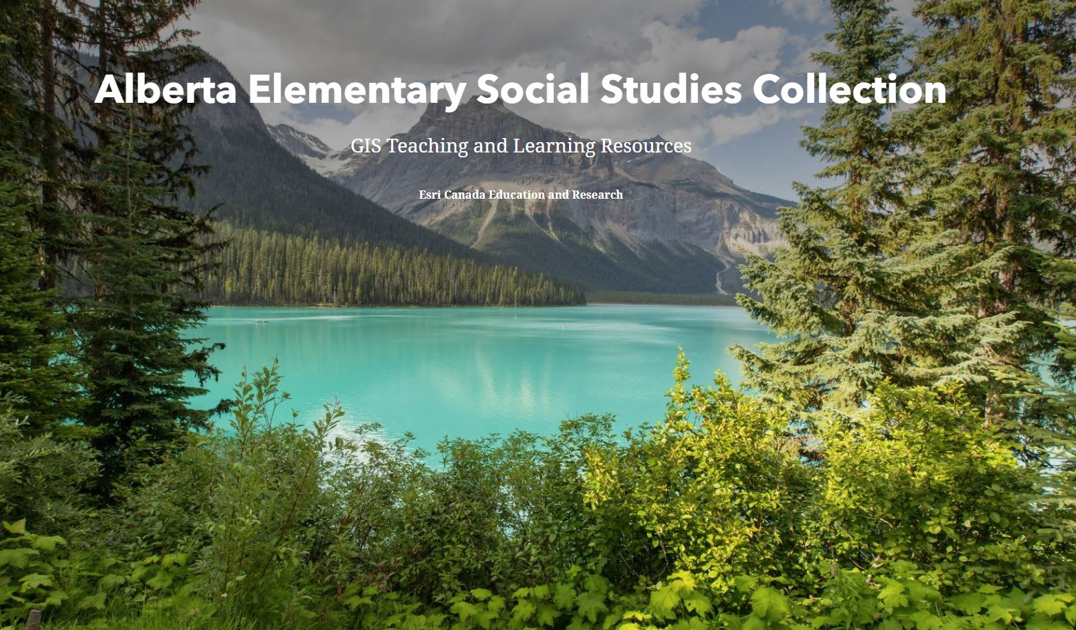
Alberta Elementary Social Studies Collection
A collection of teaching & learning resources to support the use of geographic information systems (GIS) in the new K-6 Alberta Social Studies curriculum.
Discover ArcGIS resources in our course collections that support the use of GIS in curricula across Canada. Image by Faith McDonald on Unsplash.
Food Security
In this ArcGIS activity, you will use maps to explore the question “How could climate change affect global food security, and what strategies can ensure a sustainable food supply for future generations?”
Cartographie à la vitesse de l'éclair (Map it in Minutes in French)
Six short activities for students using ArcGIS.
Mapping Corner
Data Exploration
You have access to a variety of data, maps and apps in ArcGIS Online. Discover tips and tricks to find relevant content for your next lesson or activity.
What’s new with ArcGIS StoryMaps (May 2025)
Explore the new capabilities that can enhance your storytelling adventures.
Maps, Apps and More!
June is Indigenous Month! Celebrate with GIS
Explore meaningful ways to honour Indigenous communities this month. Check out our past post, “Understanding and Strengthening Indigenous Communities using GIS”, for GIS resources and inspiring stories showcasing the versatile applications of GIS in Indigenous communities.
FireSmoke Canada App
Summer is wildfire season in Canada. Use this app created by the Weather Forecast Research Team at the University of British Columbia to see where they are occurring in real-time.
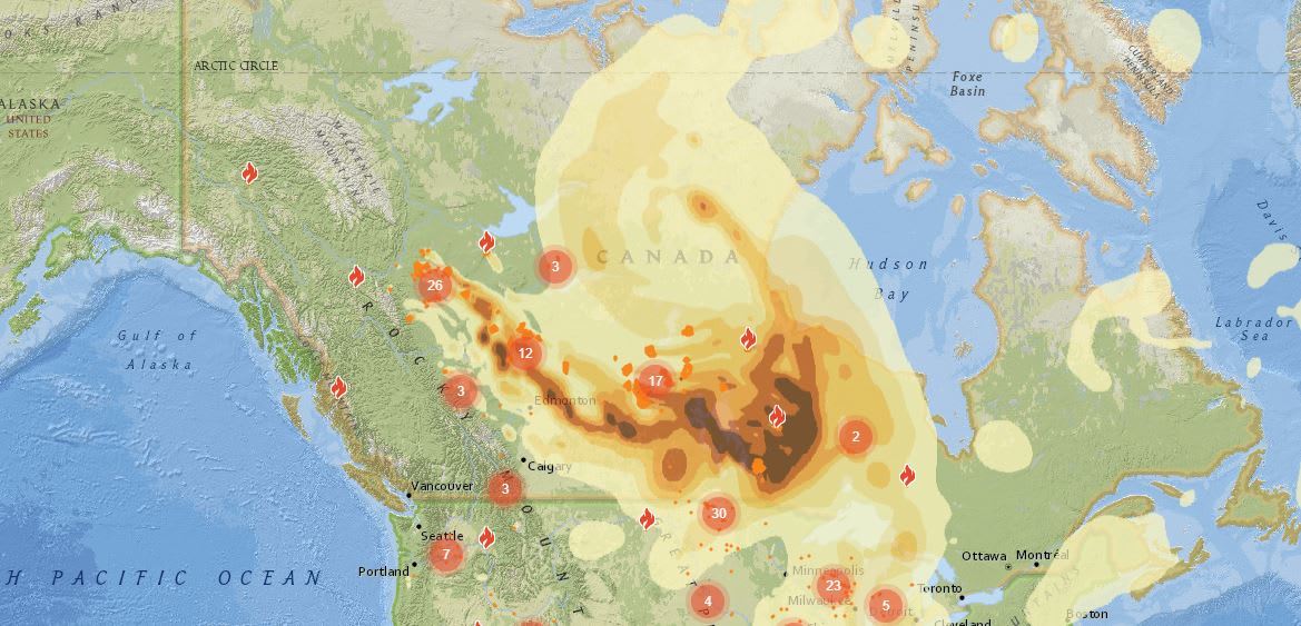
Bring real-world issues into the classroom with the FireSmoke Canada app.
Enjoy your summer break! Look out for the Fall edition of this blog series at the start of the new school year. Happy Mapping!