Geographical Thinking: Episode 95 – Bringing History to Life with GIS
Imagine blending history, culture and technology to create an interactive experience that helps preserve memories and share untold stories—sounds like magic, right? It’s actually the power of GIS storytelling!
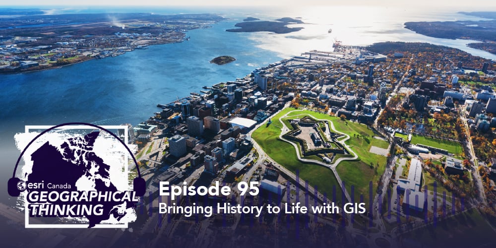
On this episode of Geographical Thinking, host Michelle Brake dives into the Memory Maps project, which uses GIS tools to connect everyday people to the past and present in ways you might not expect. Michelle chats with the Saint Mary’s University Archaeology Lab team, uncovering how they use digital maps to tell powerful stories and make history come alive. Get ready for a journey that’s as rich in data as it is in culture. Let’s get started!
Looking for resources on what we discussed in today’s podcast? Check them out below!
Connect with the research team members on LinkedIn: Dr. Jonathan Fowler, Wesley Weatherbee, Emily Davis and Sheheryar Khan.
Maps of Memory: Launched in November 2024, this project explores historical changes in Halifax, focusing on built heritage from 1878. It uses digital cartography and landscape archaeology to examine the stories behind historical places.
Halifax Heritage: 1878: This ArcGIS StoryMaps story illustrates the architectural and cultural heritage of Halifax in 1878 by using historical maps and modern digital tools to highlight key landmarks and changes in the urban landscape.
Archaeology in Acadie: Discover Dr. Fowler's research, which focuses on the archaeological study of Acadie/Mi'kma'ki/Nova Scotia—a region rich in stories and history.
Tour a Vanished Neighbourhood: Dr. Fowler takes us on a virtual tour of a vanished neighbourhood in Halifax, Nova Scotia, using the Hopkins atlas as a reference overlayed on recent aerials of Halifax.
A Vision of Regeneration: This map depicts the extensive devastation in Halifax, Nova Scotia, following the Halifax Explosion of December 6, 1917.
![]()
![]()
![]()