September update: What’s new with ArcGIS Online for K-12 education
Whether you’re an avid user of ArcGIS Online or a new user, check out the latest enhancements relevant to K-12 users. From story maps to data and resources, discover what is new and improved.
Guest blogger Jean Tong, the K-12 Teaching and Learning Manager has put together a list from September’s ArcGIS Online updates that are most relevant to K-12 users. Start October off with these amazing ArcGIS Online enhancements! Try them with your students!
ArcGIS StoryMaps
- Students have been able to collaborate on story maps with their peers through a shared group, but now there are enhancements in place to prevent someone from saving over others’ work. People in groups with update capabilities can now duplicate stories and collections.
- Theme builder allows you to customize your story map design with colours, fonts and various styles.
- If you were a fan of the Shortlist template in Classic Story Maps, you will love the new explorer tour. This is found under the Map tour option where you can choose between two layouts: Guided and Explorer.
Watch this video to learn more about the new explorer tour.
- Swipe has been enhanced to work not only with maps but also with images, offering an interactive way to compare before and after images. Attribution is now available for cover images and images in immersive media panels.
- You can now automatically add tour points to a map using geotagged photos. Simply upload geotagged photos from your fieldwork to place them on your map.
Groups
If you are looking for an easy way to share content from ArcGIS Online with your students, then groups are the answer. Improvements have been made allowing users to:
- Add items to groups from anywhere in ArcGIS Online: Favorites, Groups, Organisation, Content, and ArcGIS Living Atlas
- Batch-add items to a group from a content search result
- Batch remove items from a group
Configurable Apps
The ArcGIS Configurable Apps with express setup (Media Map, Minimalist, Interactive Legend, Zone Lookup, Nearby, and Attachment Viewer) continue expanding and improvements in this release include:
- Support for Google Analytics
- A screenshot widget that allows users to capture the entire app - including the pop-up and legend. This will be helpful when creating your item’s thumbnail image.
Data
- If you have shared a feature layer view with the public, now there are settings to confirm if it should be editable or not.
- Apply patterns to polygon data in Scene Viewer
- Global Air Quality: a new collection of layers, maps, and story maps has been added to the Living Atlas.
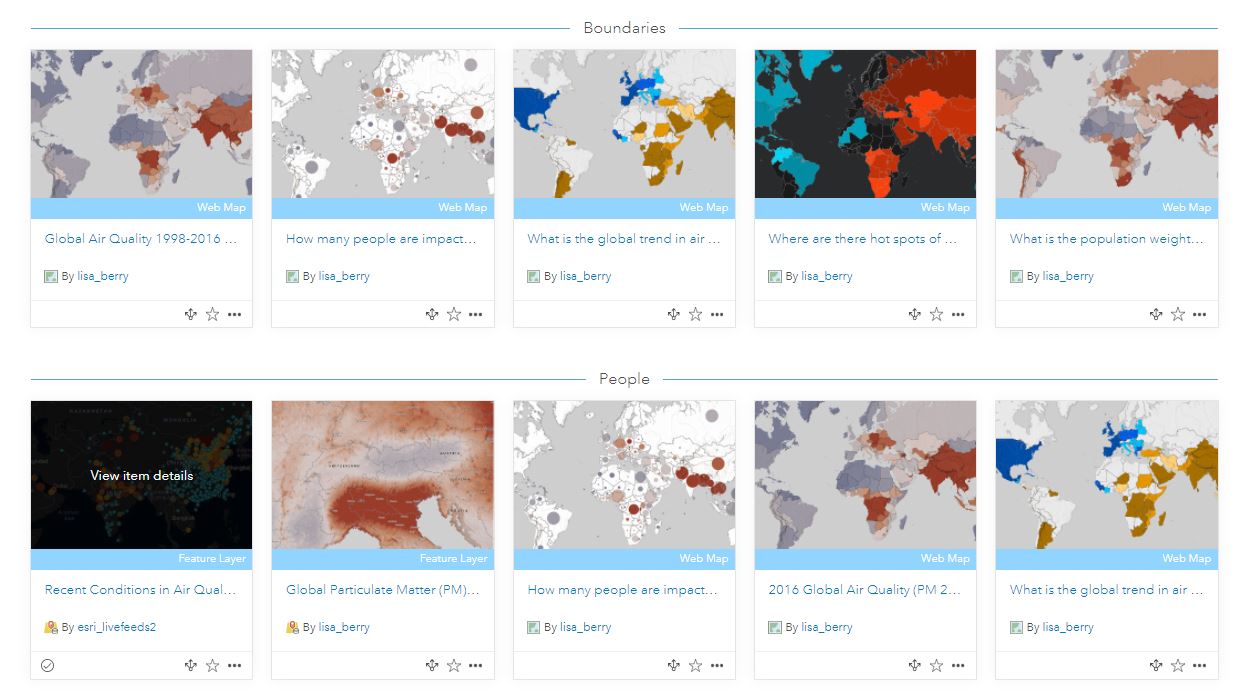
Explore this exciting new collection to find global air quality content.
Resources
- Maps in a minute is a series of quick tutorials that show how you can use ArcGIS Online and ArcGIS Living Atlas to make maps of timely events in a minute! Great examples here for physical geography and earth sciences.
Read What’s new in ArcGIS Online September 2020 to find out more about these enhancements and additional updates.
New to ArcGIS Online?
If you are new to ArcGIS Online, educators can request an account for themselves and their students at k12.esri.ca/#access. Parents can request accounts for their children using the same link.
Check out the following introductory resources:
Let's get started with ArcGIS Online – for K-12 educators
In this self-guided resource, educators will get started with ArcGIS Online tutorials created by the Esri Canada K-12 group. To support virtual learning, we are including more videos to go along with our tutorials.
Enroute with ArcGIS Online – for K-12 students
An introduction to ArcGIS Online for K-12 students.
Happy Mapping!
This post was translated to French and can be viewed here.