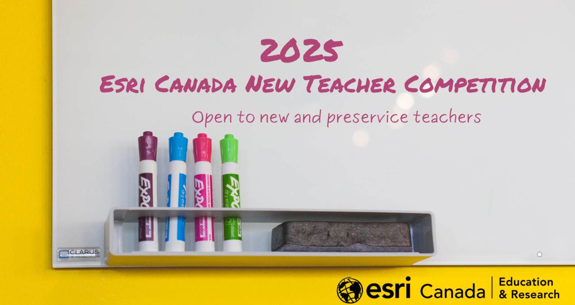
Unlock Opportunities: Participate in Esri Canada’s New Teacher Competition
Happy New Year! This year’s first post highlights reasons to participate in the 2025 Esri Canada New Teacher Competition and how your students can benefit, as well.
With a new year comes new opportunities to challenge yourself, learn new skills and grow as an educator. We are giving you the chance to do that with this exciting and fun competition that is open to new and preservice teachers.
The primary focus of the New Teacher Competition is to acknowledge creativity and innovation and a commitment to helping students develop geographic literacy, spatial awareness, critical thinking, and analytical skills by using geographic information systems (GIS) software ArcGIS. Learn more about the competition and its timelines, eligibility, and prizes, including reasons you should get involved.
Submissions are a K-12 student resource presented in an ArcGIS StoryMap format, including at least two web maps. The web maps can be created in Map Viewer or as an express map in ArcGIS StoryMaps. The K-12 student resource may include but is not limited to the use of additional ArcGIS applications such as:
- ArcGIS Online Map Viewer
- ArcGIS Survey123
- ArcGIS Dashboards
- ArcGIS Instant Apps
- ArcGIS Experience Builder
New and preservice teachers can participate in the 2025 New Teacher Competition.
5 reasons for new and preservice teachers to get involved
- Enhance teaching skills with GIS tools
Participate in the competition to gain hands-on experience with powerful GIS tools like ArcGIS StoryMaps and ArcGIS Online, enhancing your teaching methods and boosting your technical proficiency with relevant educational technology. - Inspire creativity and innovation while building a portfolio of interactive resources
Use the competition as an opportunity to develop creative and innovative educational materials that can revolutionize how you teach geography and other disciplines, while also creating a lasting collection of K-12 resources that showcase your commitment to your own educational development. - Elevate your professional development and learning
Being part of the competition allows you to stand out in the educational community, gaining recognition for your efforts in integrating GIS technology and critical thinking into education. Selected entrants will have their submissions shared on the Esri Canada K-12 Resource Finder and the Education and Research blog . - Advance geographic education
By contributing to the competition, you are helping push the boundaries of geographic literacy and spatial awareness for the next generation of students. - Connect with GIS K-12 education experts
Working on this competition connects you with a community of GIS K-12 education professionals who can offer insights and support. Learn about the General resources and support that is available during the competition.
 Drop-in Office Hours are available on the third Thursday of each month from noon to 1pm ET via a Microsoft Teams meeting.
Now let’s see the 5 reasons your students will benefit from this opportunity
- Improve geographic literacy and foster spatial awareness
ArcGIS enhances geographic literacy by helping students explore and analyze geographic data, fostering a deeper understanding of places and their relationships. It also strengthens spatial awareness by enabling students to visualize and interpret spatial patterns, improving their ability to navigate and solve spatial problems. - Supports the destreamed and universal learning classroom
ArcGIS fosters a destreamed and universal learning environment by offering flexible tools that allow students of all levels to work together, analyze spatial data, and develop critical thinking skills. This promotes inclusivity and supports diverse learning styles. - Develop critical thinking skills
ArcGIS encourages students to engage with complex issues, supporting analytical thinking, problem-solving, and decision-making skills that can be applied in various subjects and life scenarios. - Access real-world data
Students will have the opportunity to access real-world geographic data through ArcGIS, learning how to interpret and visualize data in ways that make learning more meaningful and impactful. It ensures that students see the value of what they are learning, understand how it applies to their lives, and experience lasting effects from the knowledge gained. - Prepare for future careers
Exposure to GIS technology will provide students with valuable experience in a tool widely used in fields like urban planning, environmental science, and data analysis, equipping them with skills that will open doors to future educational and career opportunities.
Explore the exemplars, judging criteria and required content for the competition submission. The deadline is September 18, 2025, 7pm ET.
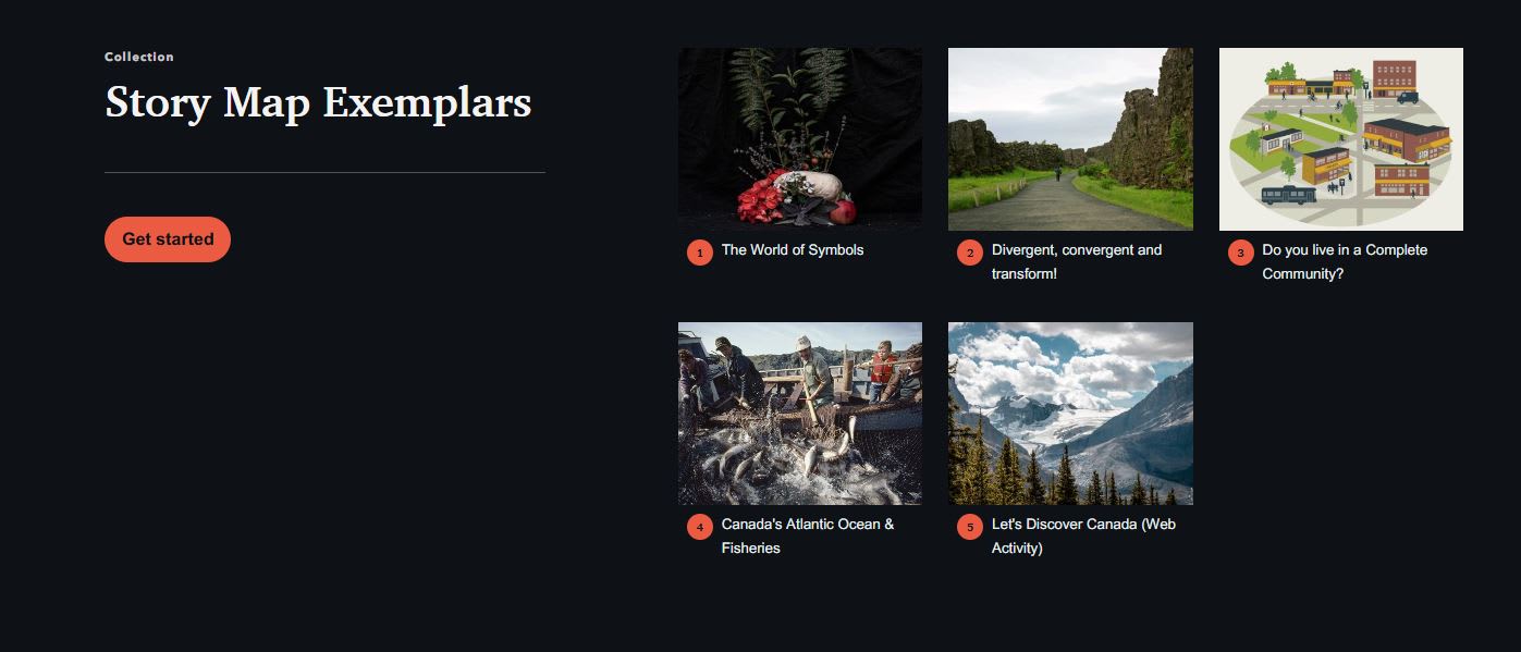
Explore the Story Map Exemplars for inspiration.
Make sure to go through the exemplars and required content before you submit your work.
If you have any questions, feel free to contact us at k12@esri.ca.
Good luck to all the participants!