ArcCanada Atlas refresh: Explore new content and its geospatial legacy!
The ArcCanada Atlas has been updated! What began as a modern digital atlas in 2023 is the latest chapter in a much longer Canadian geospatial education story. In this post, you'll discover the newest maps, activities, and categories added to the Atlas, while learning about the legacy that has helped Canadian educators bring geography, history, and inquiry-based learning into classrooms for nearly three decades.
The ArcCanada Atlas was created to help K-12 students explore, discover, and connect with the world through maps, data, and inquiry-based learning. Today, we're excited to share a major refresh that includes new content, new learning activities, and an enhanced experience for educators and students across Canada. Available in both English and French, the Atlas provides dedicated bilingual experiences with localized maps, data, and educational content.
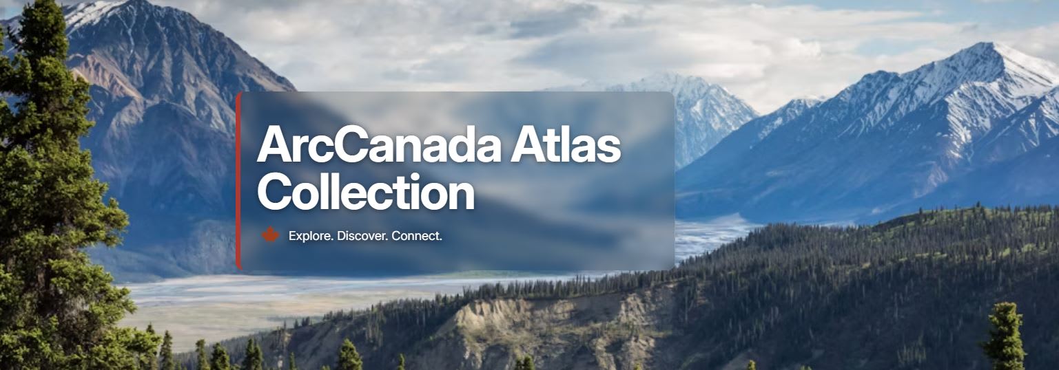
Explore the new look of ArcCanada Atlas!
The Refresh includes:
✅ New History and Indigenous categories
✅ New activities: Vimy Ridge, Indigenous and European Settlements, and Residential Schools
✅ New maps with no login required
✅ Resources designed to support inquiry-based learning across geography, history, social studies, environmental education, and Indigenous studies
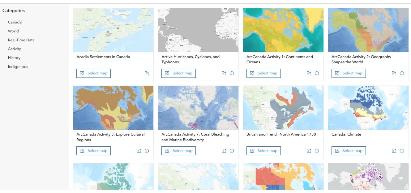 Select a map to explore in the ArcCanada Atlas!
Canadian Geospatial Legacy
But the ArcCanada Atlas is also built on an important legacy.
In the late 1990s, Esri Canada created ArcCanada Schools & Libraries Edition, a GIS resource distributed on CD-ROM to schools, libraries, and post-secondary institutions across Canada. At a time when web mapping did not yet exist at scale and access to high-quality Canadian geospatial data was limited, ArcCanada provided educators, students, and researchers with a uniquely Canadian collection of geographic information.
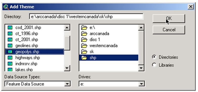 During the 1990s and early 2000s, ArcCanada data was delivered on a collection of CDs. This screenshot shows the process of loading ArcCanada data (disc 1) into ArcView GIS 3.x, the desktop GIS software that preceded the ArcGIS platform.
The resource included census geography, transportation networks, hydrography, soils, land use, geology, elevation models, ecological regions, place names, and many other foundational datasets. Its purpose was simple but powerful: to make Canadian geographic information more accessible for education and research and to help learners explore their country through maps and spatial analysis.
Over time, ArcCanada evolved from a physical data product delivered on CD-ROM into a digital collection of maps and educational resources delivered through ArcGIS Online. Today, the ArcCanada Atlas continues that mission for a new generation of learners.
Built around the inquiry cycle of Explore, Discover, and Connect, the Atlas helps students move beyond memorizing facts and instead develop spatial and critical thinking, and data literacy skills while investigating Canada's geography, history, cultures, and Indigenous perspectives.
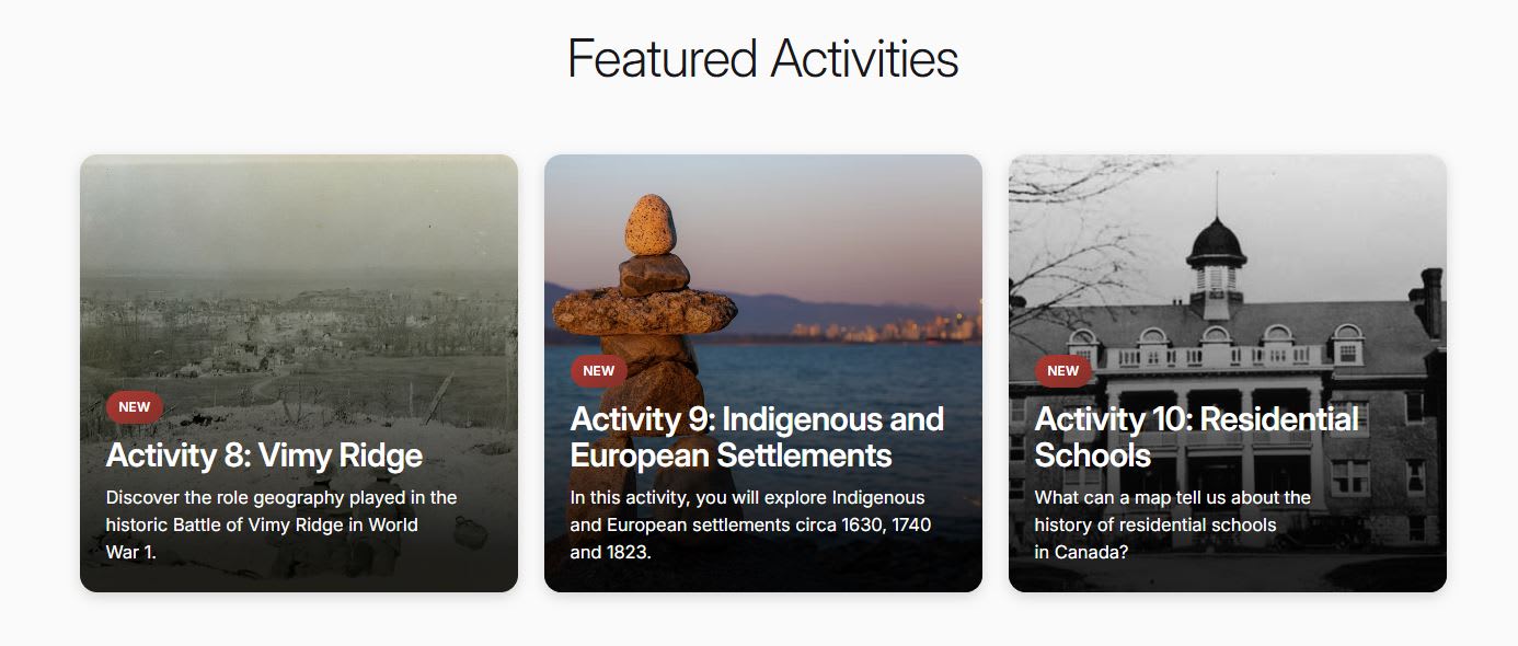
The latest ArcCanada Atlas activities can be found in the Feature Activities section of the collection.
As educators, we know that understanding place matters. Whether students are analysing historical events, exploring environmental issues, or examining relationships between people and place, maps provide a powerful lens for learning.
We’re proud to see a Canadian educational resource with roots dating back nearly three decades continue to evolve and support classrooms across the country. With new content already added and more on the way, the ArcCanada Atlas will continue to grow as a valuable resource for Canadian educators and students.
Explore the ArcCanada Atlas and let us know how you're using maps, GIS, and spatial thinking to engage learners. Happy Mapping!