Back to School with ArcGIS: Empowering K-12 Educators
Boost student engagement this year with ArcGIS! Integrate maps and data analysis to make learning exciting and impactful.
As the new school year approaches, educators are busy preparing their lesson plans, organizing classroom materials, and setting the stage for a successful year ahead. For K-12 educators looking to infuse their teaching with innovative tools and approaches, incorporating Geographic Information System (GIS) can be a game-changer.
ArcGIS Online, a web-based GIS that includes mapping and analysis tools and are available to all K-12 students and educators in Canada at no cost. ArcGIS Online offers opportunities to bring maps, collaboration, data analysis, and critical thinking into the classroom. Here’s how ArcGIS (ArcGIS Online and ArcGIS Apps) can elevate your teaching and engage students in exciting new ways this school year.
Engage Students with Interactive Maps
One of the most exciting features of ArcGIS is its ability to allow users to create and access interactive maps. These maps can bring lessons to life, allowing students to explore different regions, track changes over time, and understand spatial relationships. Whether you're teaching about physical geography, historical events, or current events, interactive maps can make abstract concepts more tangible and relatable. For example, students can investigate climate change impacts by analyzing changes in land cover or explore historical maps to understand how cities have evolved.
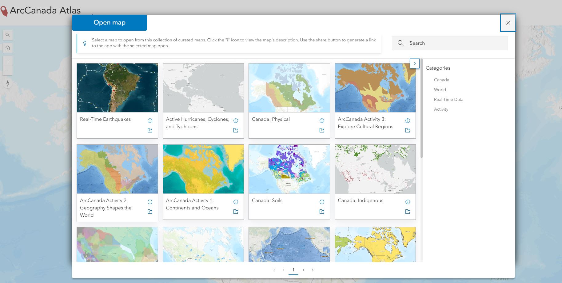
Access interactive maps with the ArcCanada Atlas app that features a range of maps covering topics such as Climate, Politics, Soils, and Water, among others.
Activity idea:
Start the year with a classroom activity where students create their own maps based on a topic of interest. This hands-on approach helps students grasp mapping concepts while fostering creativity.
Resource: Adding and Working with Data in the Map Viewer
Dive into Data Analysis!
ArcGIS isn’t just about maps. It’s also a powerful tool for data analysis. Students can learn how to visualize and interpret data through real world examples. This is relevant for subjects like social studies, geography, science, history and math. For instance, students can analyze crime and population growth, track disease outbreaks, or study environmental changes using real world data.
Resource: Proximity and Hot Spot Analysis from the GIS for Crime Analysis lesson that is part of the Career Path Series.
Foster Critical Thinking and Problem-Solving Skills
ArcGIS encourages students to think critically and solve problems using spatial reasoning. By working on projects that require them to ask questions, gather data, and draw conclusions, students develop valuable analytical skills. Projects might include solving a local environmental issue, conducting a river analysis, or designing a new park.
Use ArcGIS to create project-based learning opportunities. For instance, challenge students to develop a sustainability plan for their school or neighbourhood, utilizing ArcGIS apps like ArcGIS StoryMaps to outline their ideas and present their findings.
Resource: Field Work Learning Path
Inspiration: On the Map with Danny Kajan, Skills Ontario 2024: Students map the Emerald Ash Borer Issue

Students using their critical thinking during the Skills Ontario GIS Competition analysing the Emerald Ash Borer Issue in May 2024.
Engage Students in Collaboration
ArcGIS offers features that foster collaboration between students, allowing them to work together on projects, share their findings, and present their results. This not only enhances their teamwork skills but also helps them communicate their ideas effectively. Collaborative projects can involve creating maps, analyzing data from a survey, or presenting their findings to the class.
Set up group projects where students can work on different aspects of a larger study, such as a town planning project. This encourages collaboration and allows students to contribute their unique perspectives and skills.
Inspiration: On the Map with Cynthia Bettio
Resource: Engage and Collaborate with Maps
Access Free Resources and Training
Esri Canada offers a wealth of resources specifically tailored for educators and students. Explore the variety of resources, including lesson plans, tutorials, and activities from the K-12 Resource Finder. Take advantage of these free resources to enhance your own understanding of ArcGIS and find new ways to incorporate it into your teaching.
Are you an educator looking to get started with ArcGIS Online?
Request an ArcGIS Online for you and your students at k12.esri.ca.
For Educators - Let's get started with ArcGIS Online
Explore the Frequently Asked Questions (FAQ)
For Students - Enroute with ArcGIS Online
Have a successful school year ahead with ArcGIS! Happy Mapping!