Discover the new look and content of the K-12 Resource Finder
K-12 educators: Explore the new and improved Esri Canada K-12 Resource Finder and discover the latest content!
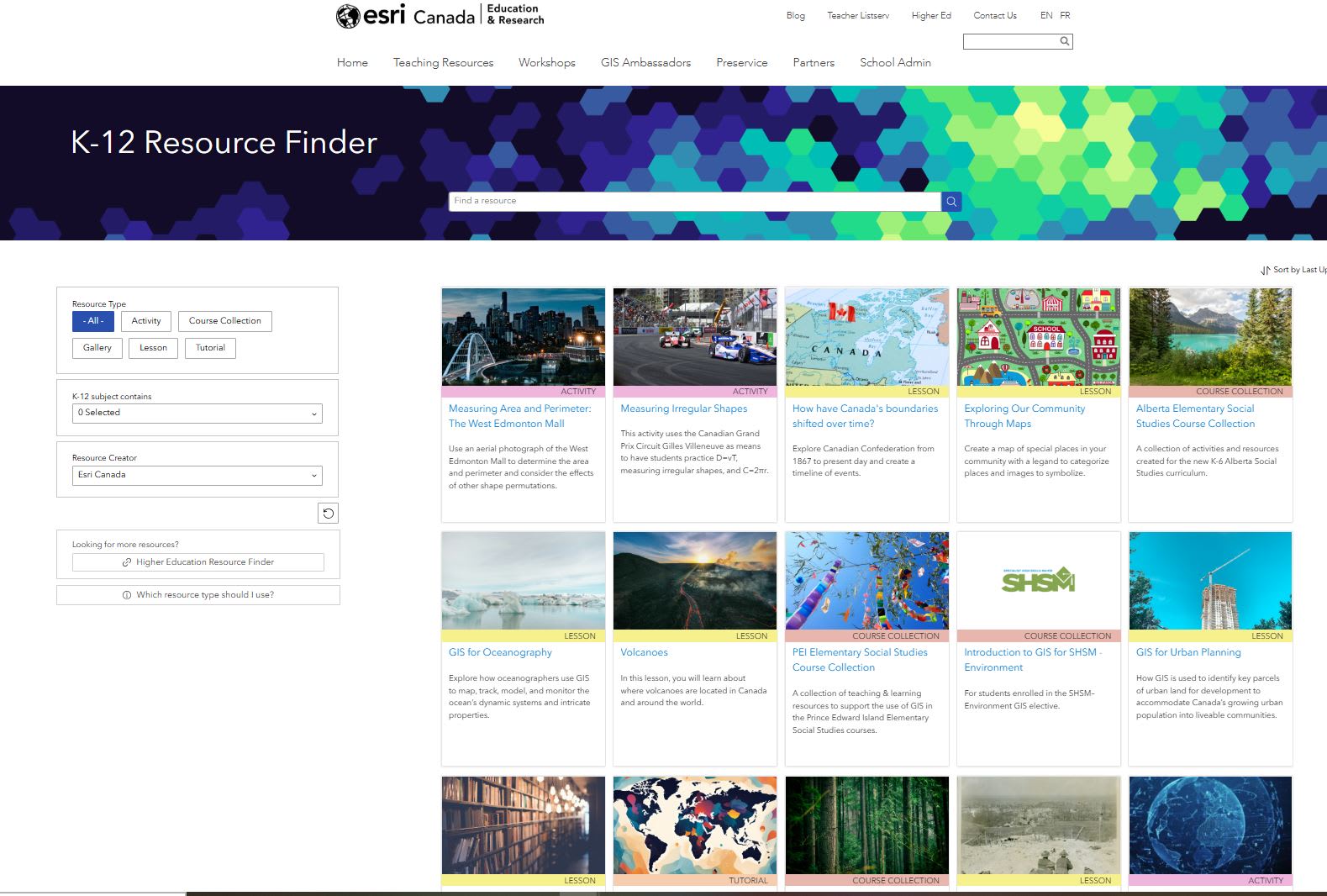
Our goal is to support educators in using ArcGIS effectively. The Esri Canada K-12 Resource Finder is a key tool designed to help educators discover resources for mapping, analysis, and spatial thinking across various subjects and experience levels—whether they're just beginning or have years of experience.
Check out the latest K-12 Resource Finder to begin or continue your ArcGIS journey!
We recently updated the site with improved navigation making it easier to find relevant content. The new version is now out of Beta, and includes the following:
- Most of the resources have been updated to use the ArcGIS Online Map Viewer, as the Map Viewer Classic will be retired at the end of 2025. We are actively working to transition all remaining resources to the Map Viewer.
- Resources developed by our Partners in Education
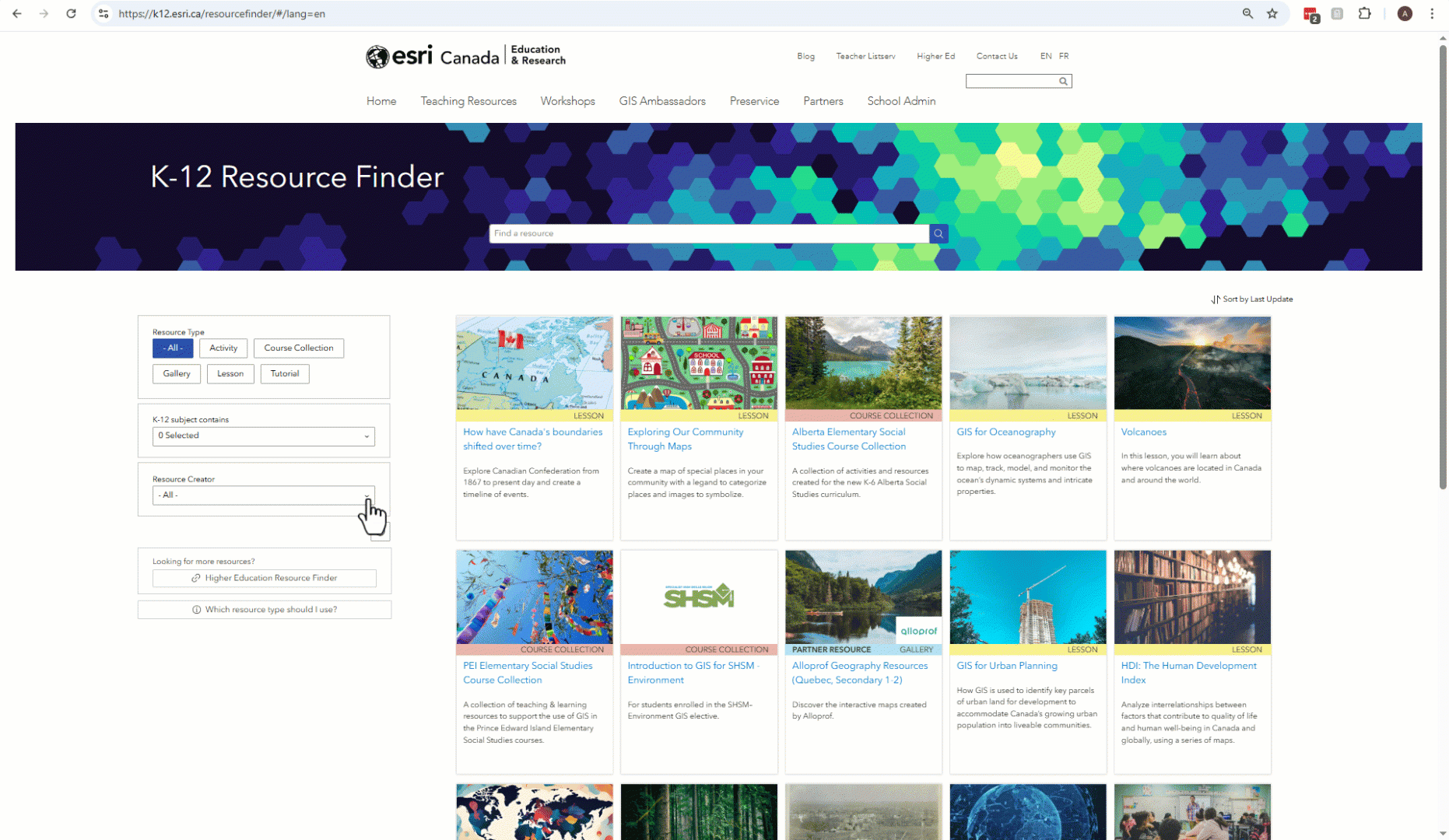
Filter the Resource Finder to see only Partner resources and integrate them in your teaching.
- A link to Higher Education materials for extended learning
- A tool to help educators choose resources based on their needs
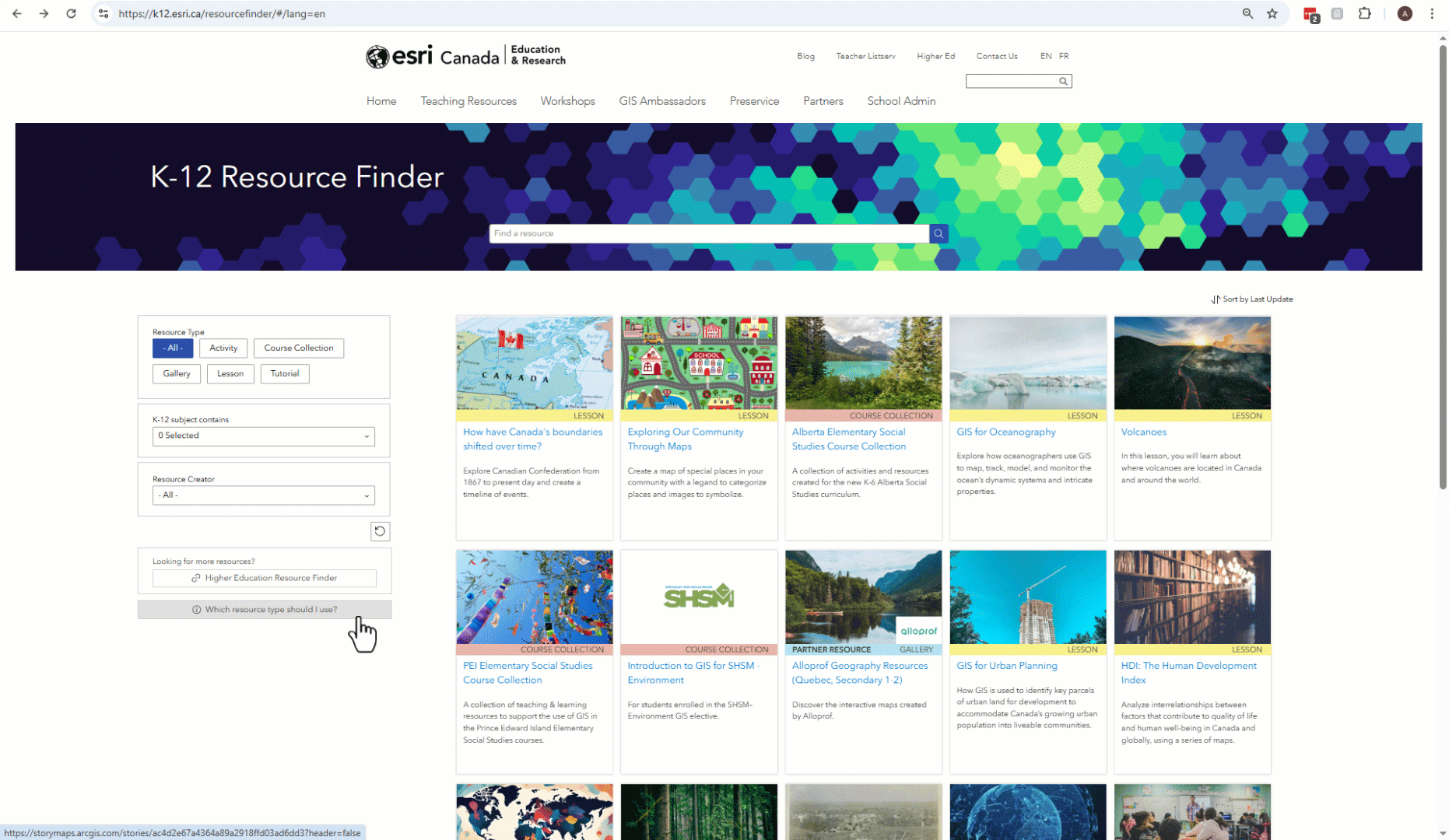 Not sure which resources to use? We have included this tool in the K-12 Resource Finder to help you decide.
English and French resources available
We develop resources in both English and French. The Resource Finder, also available in both languages, is designed to help educators access relevant, classroom-ready materials.
To access the French Resource Finder, click on the FR located on the top right of the English Resource Finder page.
See how easily it is to access the French K-12 Resource Finder.
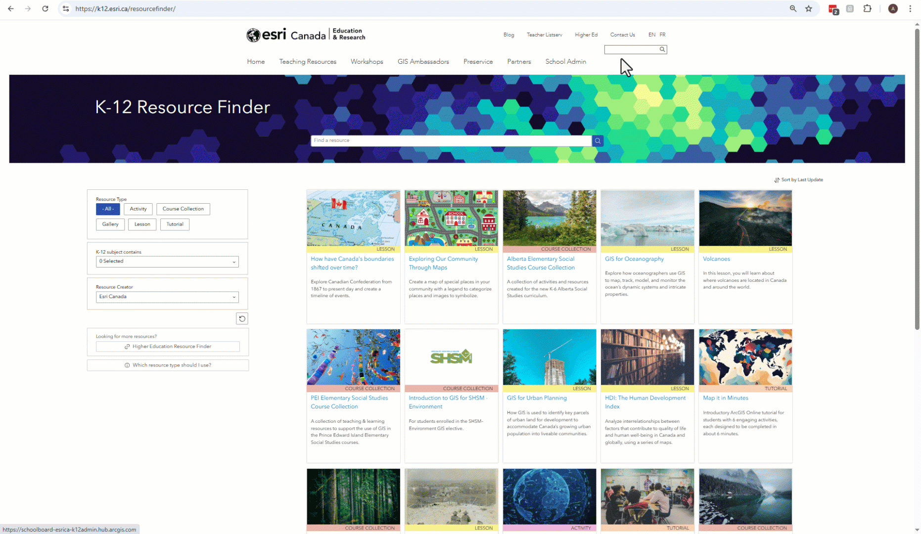
Discover What’s New
Check out the newly added resources available in English created by the K-12 group at Esri Canada. Throughout the year, we create new resources and update existing ones.
Look at the most recent resources added and updated in the Resource Finder. This screenshot is from April 8, 2025.
They include the following resource types:
Lessons
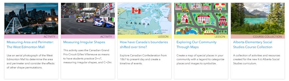
How have Canada’s boundaries shifted over time?
In this lesson, you will explore Canadian Confederation from 1867 to present day.
Exploring our community through maps
Communities are made up of many different places that help people live, work, play, and learn. In this lesson, you will first use a map to explore a community in New Zealand, then create our own community map with special places.
GIS for Oceanography
In this Career Path Series: GIS for Oceanography, you will explore how oceanographers use GIS to map, track, model, and monitor the ocean’s dynamic systems and intricate properties. Discover how this powerful technology helps address real-world challenges and contributes to the health of our planet.
GIS for Urban Planning
In this Career Path Series on GIS for Urban Planning, you will get a snapshot of how GIS is used to identify and reuse key parcels of urban land for development, as a way to accommodate and locate Canada’s rapidly growing urban population in proximity to existing community services and facilities, and to create healthy and livable neighbourhoods.
Volcanoes
This lesson explores the distribution of volcanoes globally and nationally, along with the impacts of volcanic and tectonic activity on landscapes and communities.
Course Collections
Alberta Elementary Social Studies Collection
This collection of teaching & learning resources to support the use of geographic information systems (GIS) in the new K-6 Alberta Social Studies curriculum.
Specialist High Skills Major (SHSM) – Environment for Ontario students
This collection is for Ontario students enrolled in the SHSM–Environment who have selected the geographic information system (GIS) elective. They will go through this resource to learn about the basics of GIS. By completing the assigned ArcGIS Online tutorials, a selected lesson, and a GIS Skills ArcGIS StoryMap assignment, students can obtain their SHSM - Environment - Introduction to GIS certification.
Updated resources
ArcCanada Atlas Activity Collection
This activity collection has a new look. Check it out!
Measuring Area and Perimeter - The West Edmonton Mall Activity
This activity has been updated to an ArcGIS StoryMap. In this activity, students practice calculating perimeter and area through a series of guided questions, while exploring the real-world relevance of their results. The West Edmonton Mall—an iconic Canadian landmark—serves as the context for their measurements and analysis.
Measuring Irregular Shapes, D=vT, & C=2πr- The Canadian Grand Prix Activity
This activity has been updated to an ArcGIS StoryMap. This activity uses the Canadian Grand Prix Circuit Gilles Villeneuve as means to have students practice D=vT, measuring irregular shapes, and C=2πr.
New to ArcGIS?
Teachers in Canada can request ArcGIS at k12.esri.ca.
Get started with the following resources:
For Educators
Let’s get started with ArcGIS Online
Self-guided learning for Canadian K-12 educators.
French version - Initiez-vous à ArcGIS Online
For Students
Map it in minutes!
In this tutorial, you will learn the basics of ArcGIS Online by completing six activities, each designed to take approximately six minutes to complete.
Enroute with ArcGIS Online
An introduction to ArcGIS Online for K-12 students
French version - En route avec ArcGIS Online
Happy Mapping!