Get to know public health at Esri Canada: Sandy Watts
Ready to learn more about the new Esri Canada Public Health team? First up is Sandy Watts, our Public Health Industry Manager.
Esri Canada continues to invest in our people and making sure that we have the right subject matter experts to drive our programs and develop strategies to expand the company’s footprint in different sectors. Recently we sat down with Alexander (Sandy) Watts, our new Public Health Industry Manager to learn more about his background, his thoughts on the current public health landscape, and how he spends his time when he’s not thinking of ways GIS can be applied in public health.
Q1. Sandy, can you give our readers a quick snapshot of your professional experience?
I often refer to myself as a spatial epidemiologist, but my background is really interdisciplinary. I started out in research, with degrees in environmental health (BA, McGill), in health geography (Msc, University of Calgary), and in spatial ecology (PhD, University of Toronto), specializing in how climate and land use change influences infectious disease emergence and spread. However, GIS and spatial analysis has always been my core interest and is the common thread in my work. After my PhD I left academia to work at BlueDot – a Toronto-based AI-driven epidemic surveillance startup and Esri Canada partner - as Director of Research & Analytics. I led a variety of projects in geospatial software development and professional services with senior decision makers at PHAC and the US-CDC, to name a few, for epidemic response of Zika, Ebola, and even COVID-19. In fact, our group was the first in the world to publish predictions about the global spread of COVID-19 out of Wuhan. At BlueDot I was exposed to the business element of health research, with experience in product development, program management, and business development. I couldn’t be more excited to apply my research and industry experience here at Esri Canada.
Q2. You have 12 years of research experience in infectious disease. How has the field and methodologies changed over the years?
Academic research can be very ‘trendy’. One important trend is the increasing adoption of new data-driven methods, digital tools and technological innovations from diverse disciplines like genetics, ecology, engineering, and geomatics in epidemiological research. The use of genomics technology for rapid diagnostics or understanding transmission patterns has a very promising future. Also, new innovations in real-time data collection have improved how we evaluate time in infectious disease patterns and when we should expect transmission to occur. So now we have data scientists and engineers working on collaborative infectious disease projects, which is great because these systems are really complex and require such a multi-disciplinary approach across the research community. This also corresponds to increasing comfort with researchers sharing their data via open data portals within these communities which I am extremely supportive of.
Q3. You joined Esri Canada from a technology company that is applying AI to risk monitoring. Where do you see the field of AI within public health?
In all honestly, I’m a pragmatist when it comes to AI in that I don’t necessarily think throwing AI algorithms at a particular problem is always helpful. But a lot of the most powerful applications of deep learning, machine learning, and data science have come from unpacking the fundamental public health challenges: how does human behaviour influence transmission? When and where can we anticipate the emergence of specific infections? How are our neighbourhoods changing over time? What is the most cost-effective public health intervention given limited resources? And given that AI can help measure our landscapes and populations at really high spatial and temporal resolutions, our disease forecasts and predictive models can become increasingly accurate and precise with the use of AI. I think BlueDot is at the cutting edge of integrating AI for global pandemic surveillance – and represents a clear benefit of the technology. Some of the work out of UofT School of Public Health is using AI to consolidate and summarize new research for easier and faster briefings for health specialists on the latest research on a subject. I’m also hoping AI can help measure and prevent the spread of antibiotic-resistant infections – a quiet yet serious public health challenge of the future. GeoAI – sampling using anonymized mobile device location data - was widely used during COVID-19 to measure things like hourly hospital use, population adherence to social distancing policies, and connectivity between at-risk nursing homes. Machine-learning-driven syndromic surveillance platforms help public health analysts ‘listen’ for aberrations or spikes in disease activity before a cluster happens.
I do have cautionary thoughts about AI methods as they still pose privacy issues and can be biased in how populations are measured, sometimes leading to low or no representation of marginalized or vulnerable populations (who are most in need of equity when it comes to access to health services).
Q4. What are you most excited about with the application of location intelligence?
I’ve been a map geek since I was a kid so I’m naturally excited about any health project that demonstrates the value of maps and spatial thinking. I believe that most people love maps and find them an intuitive way to understand the world. So in this age of information (or misinformation), part of me is most excited about the use of map-based visualization tools and interactive maps, and even virtual reality, to help deconstruct and explain complex problems or processes down for more people to understand – especially scientific ones. Map-based dashboards proved invaluable for health professionals and policy makers during the pandemic. Citizens can engage with publicly available maps to better know the world they participate in and are influenced by. People can interact with map dashboards to understand how much homelessness actually persists in their neighbourhoods, or how climate is forecasted to affect their city, or how political ideologies have changed in their riding over the years. I think maps empower people to act on certain issues and helps us feel more connected to our world.
Q5. What are some trends or opportunities you’re seeing in the health industry?
The adoption of digital technology is a clear opportunity to enhance the health industry at large – both in public health and primary care. But that can be implemented in a myriad of ways. The pandemic really put pressure on our systems to become more digitized for more nimble data sharing and decision-making during emergencies. Many government agencies still rely on Excel spreadsheets and static PDF documents to inform planners or policy makers, leading to delays in reporting, errors in data transfer and transcription, and incomparable metrics between jurisdictions. So any technologies that act as an alternative solution to multi-regional data sharing and standardization, even if for a single disease system or outcome – will be incredibly beneficial.
The pandemic also created opportunities to test and observe the adoption of e-health and telehealth technology more than ever before. Citizens seemed to adapt well to talking to their doctor at home over the phone or via video chat. It empowered patients to feel more connected to their own health network. And my impression is that Canada is poised to be one of the top contributors to global telehealth market. So from a public health angle we’ll want to implement those same digital technologies to address health inequity, identify where those populations live, and connect underserved and vulnerable populations to user-friendly technological platforms so they have equal access to specialized health services – especially here in Canada. Years down the road there is a chance that citizens – especially the elderly – will have home-based diagnostics via wearables and video appointment opportunities. There are some really cool and innovative applications in LiDAR right now with potential for at-home medical imaging from a patient’s smartphone.
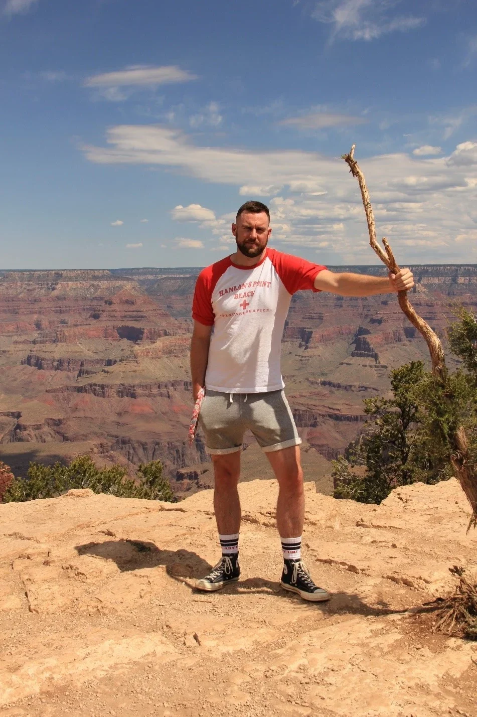
Sandy during one of his travels. South Rim of the Grand Canyon in Arizona.
Q6: When you’re not thinking of ways to use location intelligence to solve public health challenges, how do you spend your time?
Most of my time spent outside of work is related to music. I’m a huge music fan and I’m really into house, techno and disco. I still try to keep up on my piano skills, too. But I’m a geography geek through and through and love traveling to natural wonders around the world. Some highlights include Monument Valley & Antelope Canyon in Arizona, Iguazu Falls in Argentina & Brazil, Scotland’s Loch Ness and Highlands, and the Hopewell Rocks and tidal bores in New Brunswick. I really do love Toronto, my home city, and spend a lot of time on my bike with my partner discovering weird new spots around town. I love Toronto Island – even in the winter – and I’m always on the lookout for unusual trees out there. There are a lot of trees with big personalities in this city.
Thanks so much Sandy! We are excited to see all the great work that comes out of the Esri Canada Public Health team.
Be sure to check out Sandy’s presentation titled “Mapping out Canada’s digital public health future” at HIP Week Live 2021: Futureproof on Monday, Oct. 4 at 1 p.m. ET.
Click here for more public health content.
This post was translated to French and can be viewed here.