Transport Canada's Enterprise GIS: A Blueprint for Federal Modernization
Transport Canada’s enterprise GIS connects field data to policy, driving secure, data driven decisions and redefining the federal model.
View
Transport Canada’s enterprise GIS connects field data to policy, driving secure, data driven decisions and redefining the federal model.
View
Cree Nation Government uses digital mapping with Cree knowledge to guide services, improve planning and support community care across northern Québec.
View
Watch Video
Canada’s wildfire seasons are growing longer and more destructive, but for many communities, the real story begins long before the flames arrive, especially in the Wildland-Urban Interface (WUI), wher
Watch Video
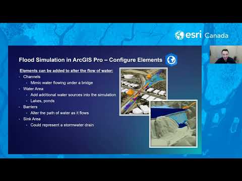
In this webinar, we’ll explore practical workflows for visualizing flood data and creating interactive maps that illustrate potential flood extents and impacts. You’ll learn how ArcGIS Solutions can a
Watch Video
How geospatial tools help Canadian communities reduce wildfire risk, especially in the WUI, before flames arrive.
View
Enhance NG911 data quality with fast address point creation and smooth road renaming in NG911 Data Manager—built for accuracy, speed and reliability.
View
Automatically convert KMZ lightning strike data into a feature layer in ArcGIS Online.
View
Explore Halifax Regional Municipality’s award-winning approach to applying geographic information system (GIS) technology—from traditional mapping services to outcome-driven solutions.
Watch Video
Learn What’s Making Us Mappy this week with Dana McKee – Public Safety Hybrid Basemap Style.
Watch Video
When wildfire embers jumped 5km across Okanagan Lake, Kelowna's newly transformed GIS team faced their ultimate test. This is how strategic planning and location intelligence saved homes.
Watch Video
When wildfire embers jumped 5km across Okanagan Lake, Kelowna's newly transformed GIS team faced their ultimate test. This is how strategic planning and location intelligence saved homes.
Watch Video
Imagery is essential for evaluating the impacts of wildfires, guiding response efforts, and supporting recovery efforts. This webinar will explore the different types of wildfire imagery available wit
Watch Video
Here is the and curated authoritative Canadian content that you can use to analyze natural disasters to better prepare for the future.
View
Thousands of structure fires occur annually in Canada, causing fatalities, injuries, and property loss. Most fire-related deaths occur in homes without working smoke alarms. Join Esri and Georgina Fir
Watch Video
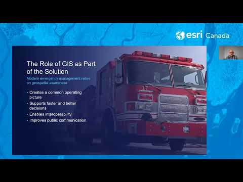
Digitally transforming emergency management processes and workflows allows emergency managers to better connect to information—and to each other—and improve response and recovery efforts. Join us to s
Watch Video
Whether protecting one stadium or a global network of physical assets, location intelligence unifies complex missions. Join us in this webinar to see how GIS can serve as a robust toolset in operation
Watch Video
Welcome to part three of Esri Canada's Address Manager instructional video series. In this session, we will focus on how to place units in buildings using Address Manager.
Watch Video
Welcome to part two of Esri Canada's Address Manager instructional video series. In this session, we will dive into map tools and demonstrate how to place addresses in multiple parcels and buildings.
Watch Video
Planning and ArcGIS Pro are front and centre in this podcast. We’ll learn about how data-driven analysis and mapping technology can help address Canada’s housing crisis. Plus, our GeoGeek is here to g
Watch Video
Loading More...