On the Map with Aidan Hawkins
From grade nine geography to applied geomatics, discover how GIS expanded the world for Aidan Hawkins and guided him toward a career built on spatial analysis and mapping.
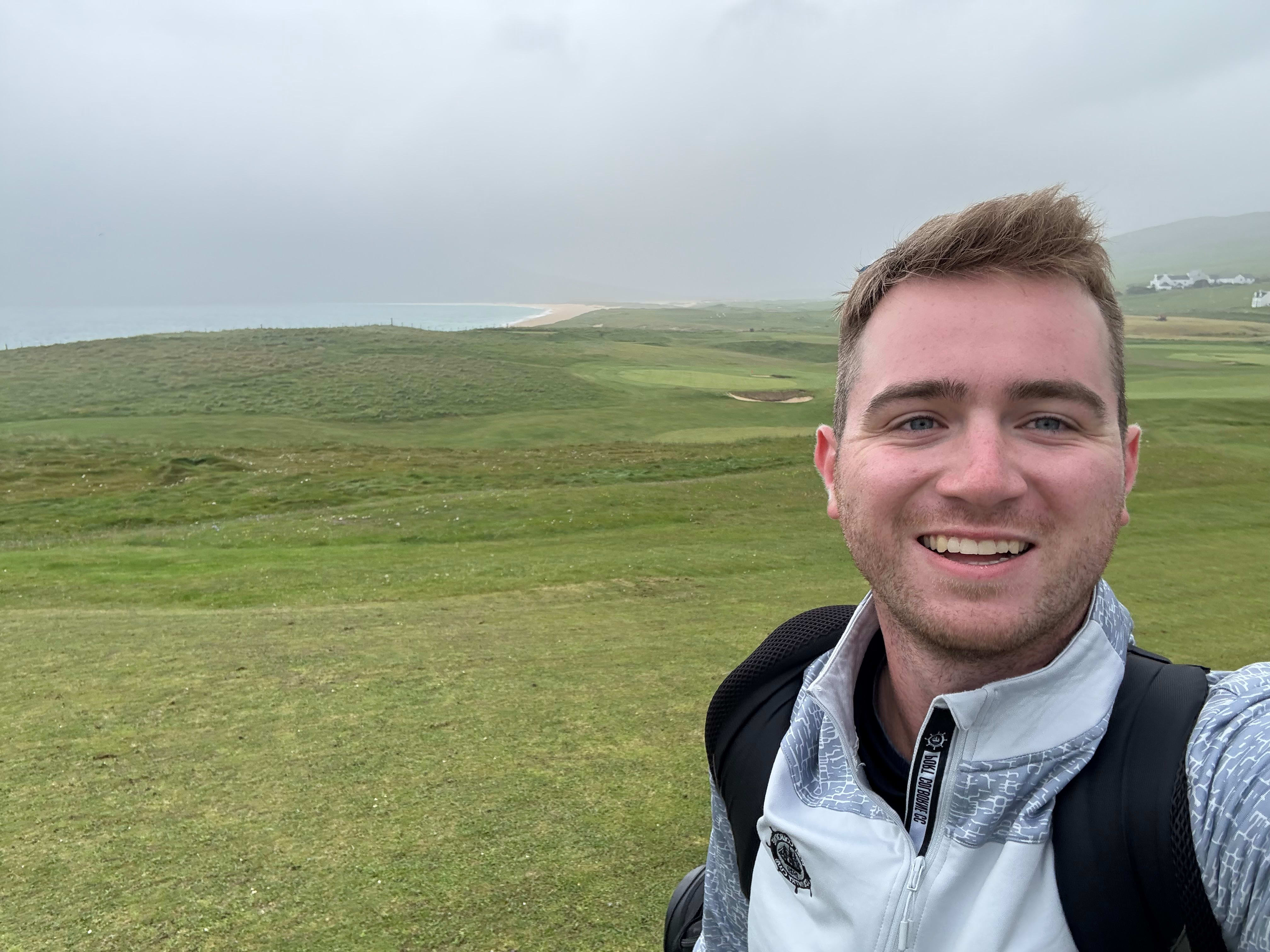
We first met Aidan when he was a high school competitor at the Skills Ontario GIS competition. Many years later, he’s working as a planning technician in the Niagara region. In November, Aidan stopped by the Education and Research booth at the Esri Canada User Conference to say hello and to let us know what he’s been up to.
The meeting inspired this blog post, and it will highlight the importance of how GIS education can lead to a rewarding, educational, skills-building experience and career path. Let’s learn more about Aidan.
What first sparked your interest in GIS and how did that experience shape your career path?
I was first introduced to GIS in grade 9 geography at Port Colborne High School, taught by Jonathan Fletcher. His approach to using ArcGIS turned a class I initially dreaded into one of the most valuable experiences of my educational life. It showed me how geography and GIS can solve real-world problems.
From there, I took two more GIS-related courses, including grade 12 Geomatics where I was part of a class that completed a mapping project for an outdoor education center. We presented the project at the 2019 Esri Canada User Conference in Toronto.
I competed in three Skills Ontario GIS competitions and earned first place in each one. These events challenged me with practical, real-world problems, and they gave me an opportunity to connect with GIS professionals in the field and to learn from them.
The experience Aidan had at his three Skills Ontario GIS competitions helped him develop his GIS skills and provided an insight into how powerful the mapping tool is to support decision-making.
These experiences led me to study Geography with a minor in Applied Geomatics at the University of Guelph. There, I explored spatial technologies in depth, working with Esri mapping products, satellite imagery, LiDAR data, and more.
Being introduced to GIS early in high school helped me identify a career path and focus on classes I truly enjoyed, ultimately shaping where I am today.
Can you share a project or moment when you realized GIS could make a real-world impact?
One project that stands out is the 2018 Skills Ontario competition. My partner and I were tasked with identifying areas of accessibility needed for seniors in Brampton. Later that day, I spoke with city representatives and learned that this was actual work their GIS department does to assess livability for different populations. That moment showed me how GIS can directly inform decision-making and improve the quality of life of people.
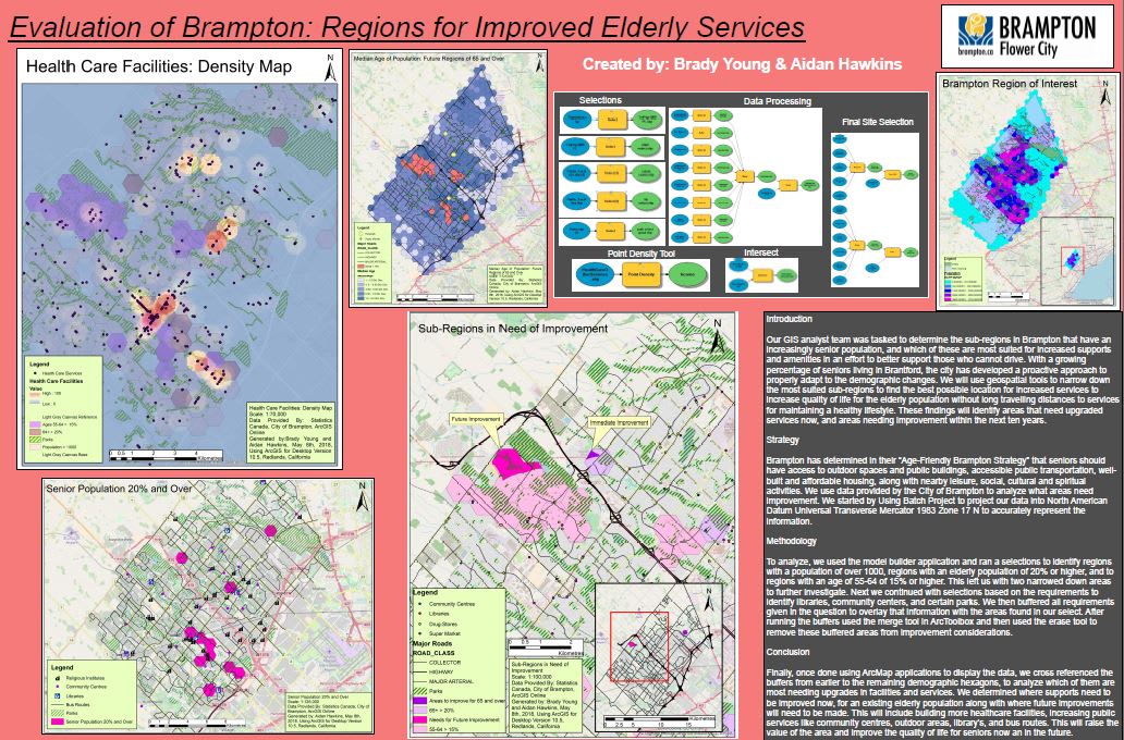
Flashback to 2018 – this is the winning map “Evaluation of Brampton: Regions for Improved Elderly Services” created by Aidan and his partner, Brady Young, at the 2018 Skills Ontario GIS competition.
What skills did you develop using GIS that continue to be valuable in your work today?
GIS taught me two invaluable skills that I use every day.
The first one is problem-solving. Working with GIS often means troubleshooting technical issues and finding creative solutions for project deliverables. I learned to leverage the ArcGIS help pages and community resources to overcome challenges.
Second, GIS made me a more well-rounded thinker. Every project requires consideration of the stakeholders’ needs and how best to represent their interests in the final product. It’s not just about meeting technical requirements, it’s also about identifying who the stakeholders are, understanding their priorities, and accounting for their perspectives throughout the process. That ability to balance technical accuracy with stakeholder expectations has shaped how I approach my work.
What advice would you give to high school students who are curious about GIS and mapping technology?
Talk to as many people as you can. GIS touches countless fields—from policing to urban planning to disaster relief and even the use of autonomous vehicles. The more you explore, the more you’ll see how versatile and impactful spatial technologies can be.
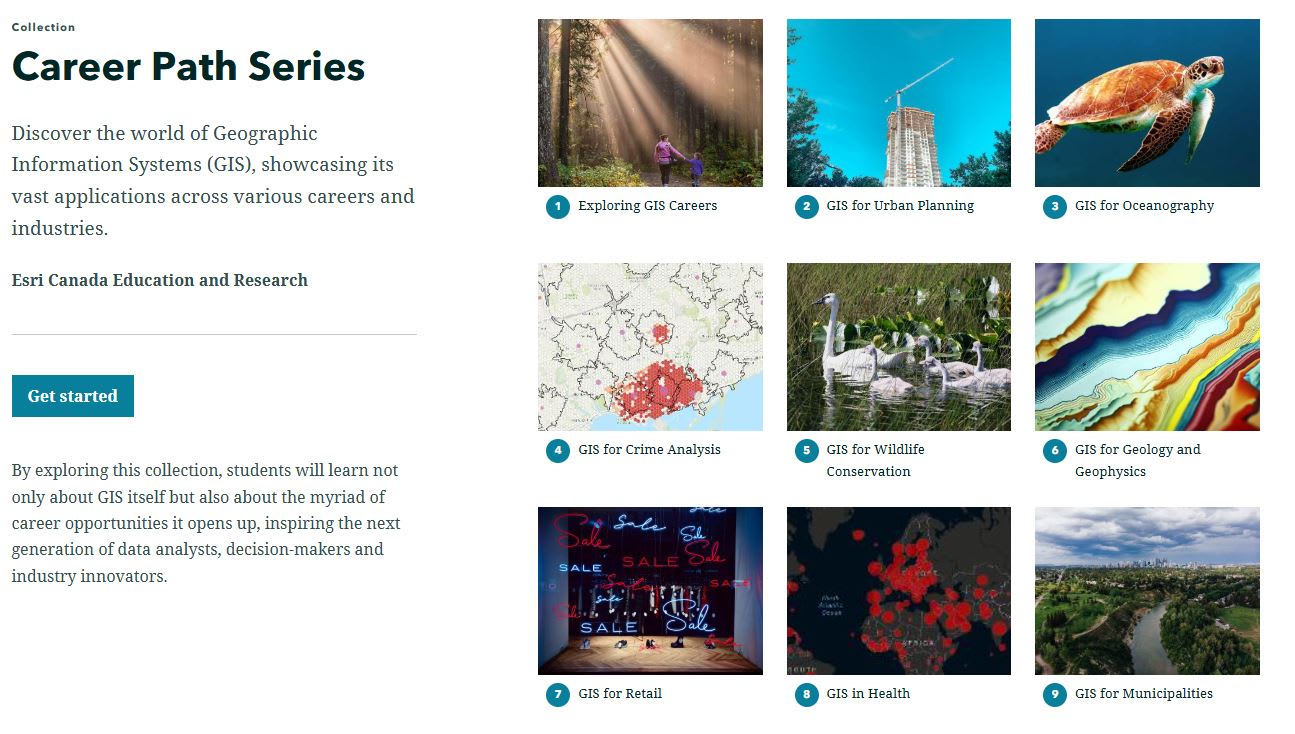
The Career Path Series highlights the use of GIS in different sectors in Canada.
Tell me about your current role and what you do with ArcGIS?
I have been a planning technician since February 2025, and GIS plays a central role in almost everything I do. My work focuses on turning spatial data into actionable insights for decision-makers.
Two of the biggest ways we use GIS are:
- Tracking development: We monitor new and upcoming developments across the Niagara region, which is critical for projecting student enrollment and identifying growth areas. This includes analyzing student yields from new housing developments to anticipating future capacity needs and ensuring schools are prepared.
- Creating maps and spatial tools for decision-making: Beyond static maps, we use GIS to develop change scenarios such as adjusting school boundaries or planning for new facilities and visualizing the impacts spatially. This helps leadership at my organization to understand how decisions affect communities and resources before implementing changes.
Beyond these core tasks, I also work on improving workflows and exploring automation opportunities to make our processes more efficient. GIS isn’t just a mapping tool it’s also a strategic asset that supports long-term planning for thousands of students.
What are your GIS plans for 2026?
I plan to continue expanding my GIS expertise, especially in areas like automation, spatial analysis, and integrating GIS to inform more decision makers. Long-term, I’d like to take on leadership roles where I can use GIS to solve complex planning challenges and improve community outcomes. Additionally, as a GIS Ambassador, I look forward to supporting teachers and students who are interested in using GIS.
Thank you, Aidan for sharing your story. All the best in 2026!