On the Map with Tatum Pascal
We’re excited to introduce Tatum Pascal, the newest member of the Education and Research group at Esri Canada! Hailing from Calgary, Alberta, she’s a K-12 Education Specialist with eight years of experience teaching secondary school science and math. Let’s learn more about Tatum and her goals in this new role to support the use of ArcGIS in K-12 education in Western Canada.
Tatum is a busy mother of two who is passionate about learning and wants to continually expand her professional skills. She completed her Master of Education in 2023, with a research project focused on enhancing collaboration across geographically diverse organizations. Tatum is currently in the final stages of completing her certificate in Curriculum Development and Instructional Design, which she will finish in early December.
When she’s not studying or working, Tatum enjoys riding horses, playing volleyball, and experimenting with new baking recipes—she’s planning to try a few new ones before Christmas. Committed to health and wellness, she also makes time for regular workouts. In 2017, Tatum challenged herself by competing in a fitness competition, which was a significant goal for her. More recently, she started a book club to stay connected with friends regularly, and to foster her love of reading.

Tatum is a wonderful addition to the Education and Research group as she supports educators, preservice teachers and partners in education in Western Canada.
In July, Tatum seamlessly joined our group and quickly made an impact. Within just a couple of months, she presented ArcGIS Online to educators at a geography conference and developed a Climate Change resource for teachers and students. She further demonstrated her expertise by facilitating a workshop for preservice teachers at a university in British Columbia last month. Currently, Tatum is updating existing ArcGIS resources and will soon support new Partners in Education as they use ArcGIS to create science-related materials.

In this resource, you will explore how geographic information system (GIS) empowers us to understand, mitigate, and adapt to climate change for a more sustainable future.
Tatum is excited about the opportunity to work with educators across Western Canada and contribute to education in a new capacity. Excited about inquiry-based learning, she believes ArcGIS offers a powerful way to connect curriculum to real-world issues and careers. As a former teacher, she understands the importance of developing student skills that extend beyond the classroom and views ArcGIS Online as an invaluable tool for fostering critical thinking, problem-solving, collaboration, and communication.
Looking ahead, Tatum is eager to facilitate more workshops for teachers in the western provinces. In February, she will be attending a teachers’ conference in Calgary and coordinating co-taught lessons for students with a school board in Calgary.

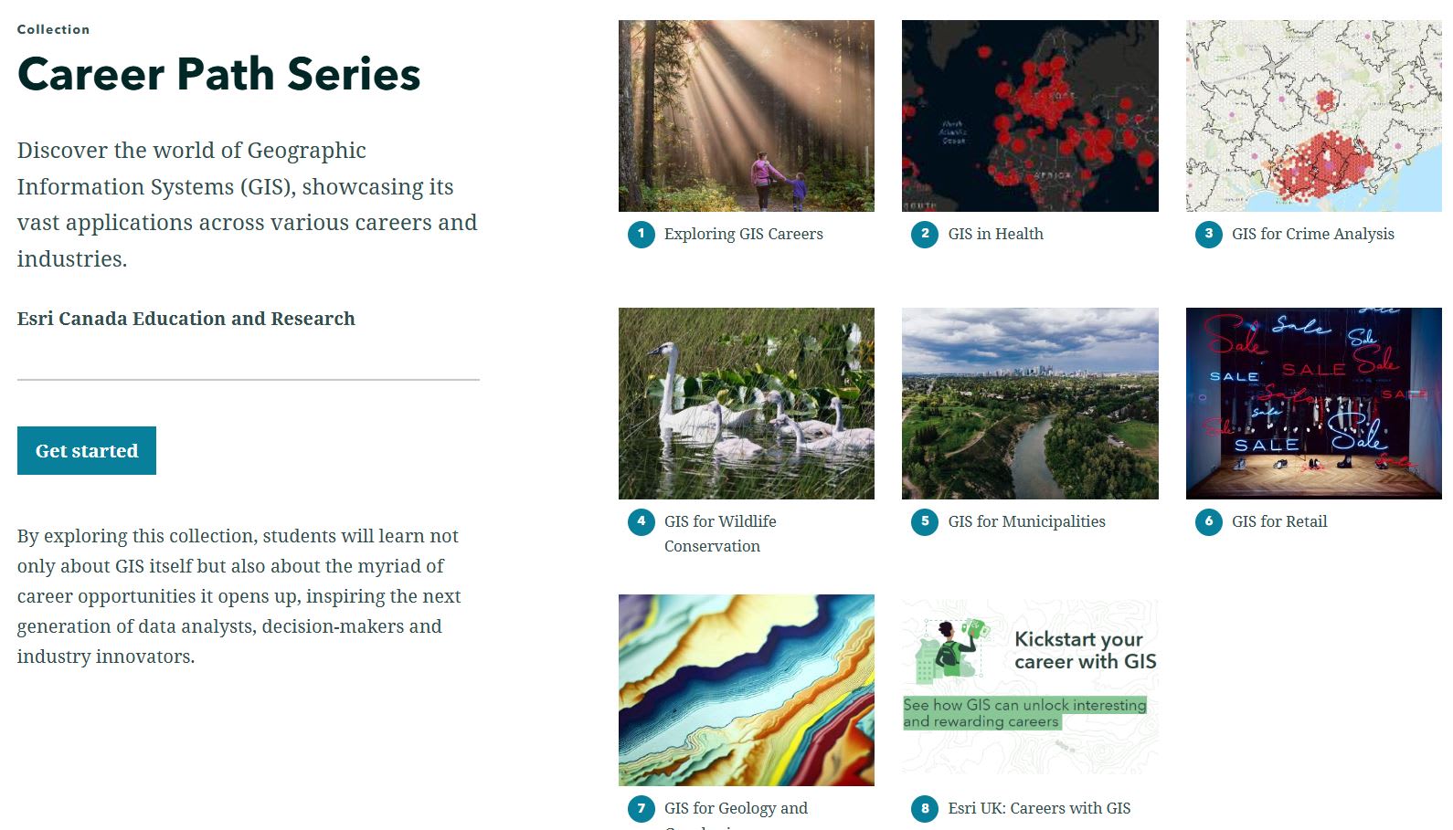
Explore the Career Path Series Collection to discover real-world applications of GIS in various industries.
Supporting the use of ArcGIS in K-12 education across this expansive country has been a rewarding challenge. In the past, we have leaned on local educators and GIS Ambassadors to help promote ArcGIS and assist K-12 teachers. With Tatum now in our group, we are better equipped to expand our reach and foster connections across Western Canada. We look forward to increased engagement in the region, which will lead to a growing number of new spatial thinkers in K-12!
Feel free to connect with Tatum via email at tpascal@esri.ca if you have any questions about support for Western Canada.
Inspired to get started with ArcGIS Online?
K-12 educators can sign up today at k12.esri.ca. Begin your journey with the following resources:
Let’s get started with ArcGIS Online
Self-guided learning for K-12 educators
ArcCanada Atlas Activity Collection
Explore and understand national and global geography, history, and culture through interactive activities and create maps.