On the Map with Delaney Houlihan
Discover what unfolds when a university student is introduced to geographic information systems (GIS) in high school and finds a genuine passion for it.
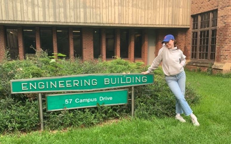
Teachers can have a profound effect on their student’s interests and future aspirations. Meet Delaney Houlihan, who just completed her second year as a GIS summer student in a distribution engineering office in her hometown of Brandon, Manitoba. Her interest in GIS was sparked in Rob Langston's grade 10 social studies class, where she first explored the world of mapping, data and analysis through ArcGIS.
Currently, Delaney is in her third year of Geological Engineering in Saskatchewan. Let’s find out more about her GIS experience and career plans.
“Delaney brought great energy and was a great addition to every class that I taught her. She always was very motivated to do well in all her studies. Her attention to detail and her high level of academic ability resulted in Delaney quickly developing strong GIS skills.” – Rob Langston
Tell us more about your GIS background and your first impressions
My introduction to GIS was in my grade 10 social studies class. At the time, I was uncertain about how it would be, but my favourite teacher was teaching the course, so I believed it would be valuable.
We began with ArcGIS StoryMaps and used ArcGIS Online to analyze various layers relevant to our local area. Through assignments involving map creation and trail mapping, I acquired essential GIS skills, including tools and shortcuts that enhance efficiency. This foundational knowledge has made it easier for me to dive into GIS-related roles. It also facilitated learning other programs, like CAD, by building on my understanding of GIS principles.
In high school, I also took an advanced GIS class where we used ArcGIS Online to address real-world problems, such as identifying optimal locations for roads, wind farms, and intensive livestock operations. This class stood out as a unique class compared to other offerings at school, and I was immediately drawn to its real-world applications.
I appreciated how the course allowed us to create maps of familiar places and gather our own data, making the work feel meaningful and rewarding. This class gave me a glimpse into the technology I anticipate using in my chosen career path. I believe that GIS is an essential career skill in today’s tech-driven world. As a high school student, I found it highly valuable and enjoyable to learn skills that are both practical and beneficial for my future, enhancing my employability.
What did you do in your GIS student role over the summer?
I used GIS to manage and share data related to electric distribution infrastructure. This involved creating and distributing maps with specific layers to external companies for project planning, updating our records to reflect new constructions, and ensuring that all information was accurately documented for our designers.
GIS was used for all designs in our office, so even minor details, such as ensuring a trench was linked to the correct circuit, were crucial for maintaining productivity. I spent significant time on these tasks, continuously refining the system to enhance its accuracy and efficiency. GIS proved invaluable because it allowed for real-time updates that were accessible across the province. This centralized system ensured that critical details, such as serial numbers, wattage of new lights, or transformer unit codes, were readily available without the need to sift through numerous work orders.
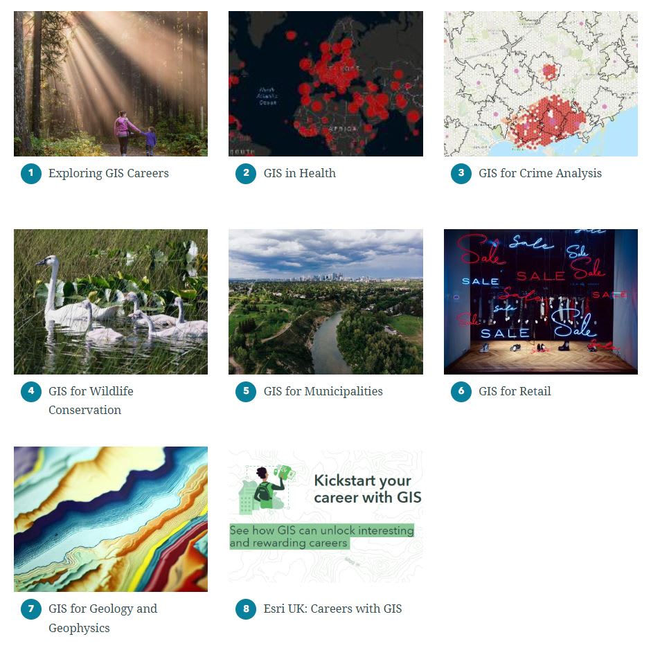
In this ArcGIS Collection, discover the world of GIS, showcasing its vast real-world applications across various careers and industries.
What are your goals for the future?
My goals are to earn a degree in geological engineering, meet the requirements to become a certified professional engineer (PEng) and work on diverse projects wherever they may lead me. I am particularly interested in sustainability in natural resources and engineering practices, predicting and mitigating environmental hazards, and consulting on geo-environmental projects. In all these areas, I recognize the importance of mapping, data collection, and interpretation, and this is where I see GIS playing a crucial role in my career. Gaining GIS experience both academically and in real-world applications will help with my goals and provide me with valuable insights into how to share and manage information across various agencies effectively.
Delaney’s journey with GIS began in high school, where she was introduced to its practical applications through engaging assignments and hands-on projects. This early exposure not only laid a strong foundation for her current role as a geological engineering student and her past role as a GIS summer intern, but also paved the way for her future career in GIS.
Thank you, Rob, for introducing us to Delaney. You played a key role in shaping her career path.
Delaney, we wish you well in your future endeavours. Perhaps you will be a GIS Ambassador in the near future, sharing your experience with K-12 students.
Inspired to get started with ArcGIS Online?
K-12 educators can sign up today at k12.esri.ca. Begin your journey with the following resources:
Let’s get started with ArcGIS Online
Self-guided learning for K-12 educators
ArcCanada Atlas Activity Collection NEW resource
Explore and understand national and global geography, history, and culture through interactive activities and create maps.