On the Map with Jane Kerr-Wilson
Meet Jane Kerr-Wilson, this month’s On the Map educator from Brock University. Let’s find out how she’s using ArcGIS in the Bachelor of Education (B.Ed.) program.
The K-12 group at Esri Canada supports the use of ArcGIS at Faculty of Education programs across Canada. Twice a year, we are invited to Jane’s class to conduct workshops introducing ArcGIS Online and ArcGIS StoryMaps to her preservice students, enriching their growing toolkit for teaching and learning.
Jane recently shared her insights and experiences with ArcGIS, an educational tool used by her students at Brock University.

Jane sees ArcGIS as an educational tool that can be used in teaching and learning geography and much more.
What is your role at Brock University?
When the B.Ed. became a two-year program in 2014-15, I was asked to use the Ontario College of Teachers course requirements to develop a framework for the two-year program for Intermediate/Senior Geography preservice teachers. I have been teaching both the first- and second-year geography courses at Brock University since that time.
How do the preservice students use ArcGIS in the program at Brock?
There are a considerable range of geographic skills in each incoming class of preservice students. Some students have taken multiple geographic information systems (GIS) courses in their undergraduate program and others have not yet been introduced to GIS. Consequently, the goal in the first-year program is to introduce all students to the capabilities of ArcGIS available to them in the context of the Ontario geography curriculum, specifically in the grade 9 Geography of Canada course.
Jean Tong, the Esri Canada K-12 Program Manager, has been a valued contributor to our classroom. She leads a 3-hour workshop that orients the first-year students to some of the ways ArcGIS can be used in the classroom by students and teachers.
The second-year class also participates in a workshop with Jean where they focus on story map development. After the session, students are assigned the task of developing a story map for a specific senior geography course. The goal of their story map is to create an instructional and, where possible, interactive tool.
Why do you use ArcGIS for teaching and learning?
The benefits of ArcGIS are many and varied. Preservice teachers can use this tool to provide current and interactive learning activities that can be used for differentiated instruction, meeting students at their reading and cognitive level. Teachers and students can create, manipulate and analyse maps making learning more engaging and effective. In a similar way the number of resources available through Esri Canada is unparalleled. From datasets to story maps, access to vast resources is always important to preservice teachers. Products that have been developed by the students and teachers are then available for collaboration and sharing.
Regardless of the subject area, critical thinking is part of reading and interpreting all online material, including story maps. Specifically in geography, visualizing data builds the capacity for applying the Concepts of the Geographic Thinking: Spatial Significance, Patterns and Trends, Interrelationships and Geographic Perspective. Together these learned concepts and technology build skills that help students better understand complex issues and events that are happening locally, nationally and globally.
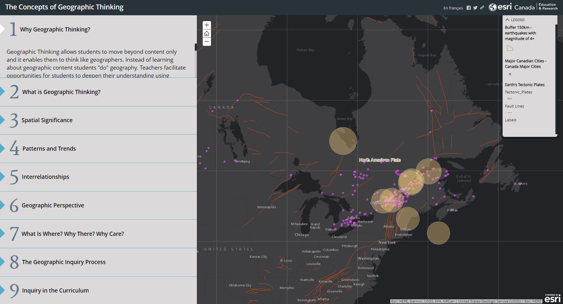
This story map created by the K-12 group at Esri Canada highlights each aspect of Geographic Thinking outlined in the Ontario Canada and World Studies curriculum.
Most of the Ontario Curriculum geography courses focus on an issues-based approach through the analysis of real-world case studies. ArcGIS facilitates the use of current and often complex data, diverse perspectives and current events to build student understanding, problem-solving skills and even empathy.
While there are many technologies and tools that we could use to support new teachers, ArcGIS has applications not only in geography, but in practically all other subject areas as well. New teachers can build this skill and adapt it in any course they are assigned in placements and eventually in their workplace.
What are your plans to use ArcGIS in the fall?
This fall my second-year students will attend an Esri Canada workshop facilitated by Jean Tong, and then they will be tasked to construct a story map that will support specific curriculum expectations. First-year students will participate in a workshop that introduces them to ArcGIS.
Thank you, Jane, for sharing your experience. We are thrilled that you are giving the student teachers a head start with ArcGIS and a competitive edge when they start looking for a teaching position.
Resources
New to ArcGIS? Request an ArcGIS Online for you and your students at k12.esri.ca.
For Educators - Let's get started with ArcGIS Online
Explore the Frequently Asked Questions (FAQ)
For Students - Enroute with ArcGIS Online
Explore the Esri Canada K-12 Resource Finder to find more resource for your ArcGIS journey!
Happy Mapping!