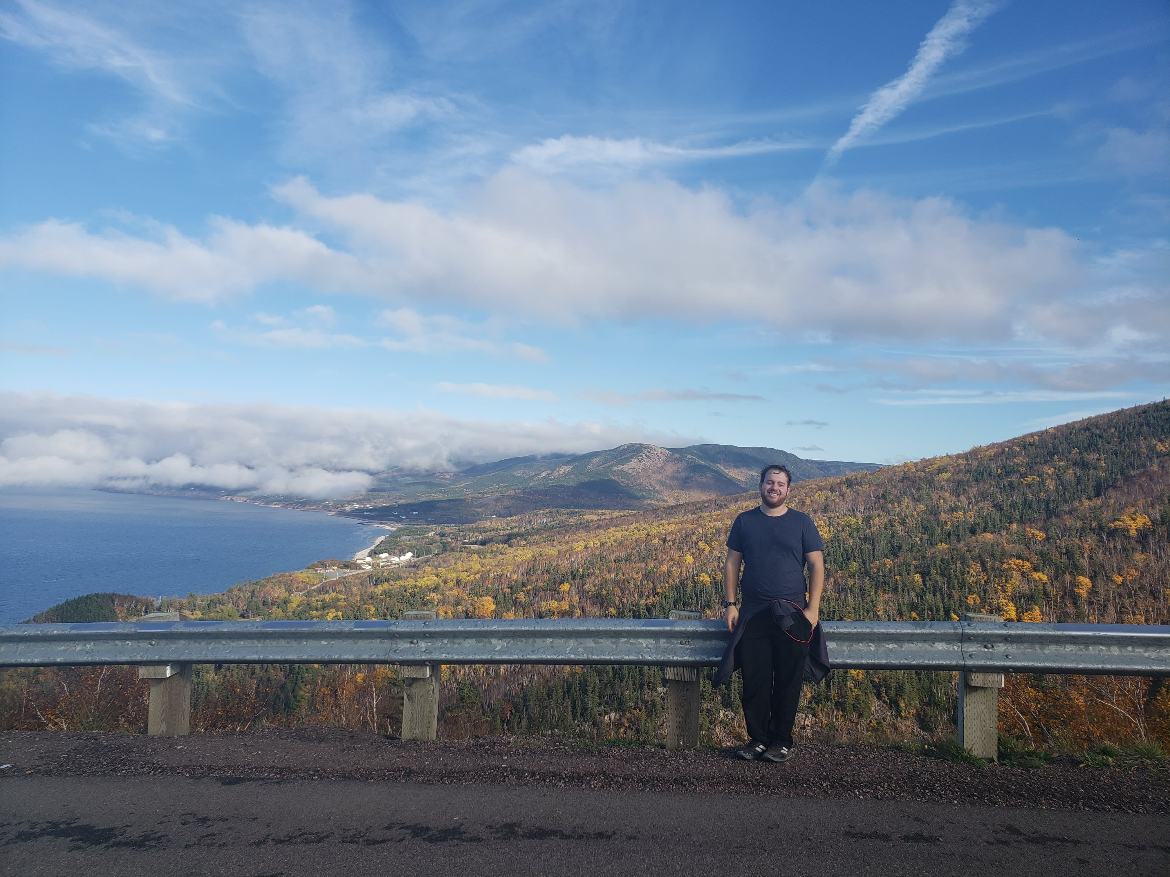
On the Map with Jordan Tishler
Meet Jordan Tishler, an Esri Canada Associate in Halifax, Nova Scotia who chanced upon GIS in high school and moved onto higher education and professional work in the sphere of spatial technology.
In this post, Jordan shares his GIS experiences and plans for the future. Let’s find out more about him.
Jordan is enjoying his associate position at Esri Canada where he is learning and striving.
Tell us about your GIS experience in high school
I was introduced to GIS by chance in grade 11. After earning a math credit over the summer, my guidance counsellor told me I couldn't take a spare until grade 12. So, I decided to replace it with an environmental course and joined the inaugural year of my school’s Specialist High Skills Major (SHSM) - Environment program. This is a specialized program for high school students focused on environmental studies and skills with GIS as an elective. At my school, this program included broad field trips in the grade 11 year and more specialized field trips in the grade 12 year based on student interests. Little did I know this decision would change my life.
I didn't fully realize my love for GIS until later in my academic journey. Still, I was always drawn to the environmental sector and technology integration within it. I was in the right place at the right time. Mr. Andrew Cresswell, the SHSM Environment coordinator, quickly became my favourite teacher. I thank him for sharing his deep knowledge and passion for environmental studies. GIS sparked my interest and opened my eyes to the potential of uses of it in education and beyond.
There are many roads that you can take with GIS. Discover what is possible!
In my first project, I used ArcGIS Online to map locations of invasive species, specifically phragmites, in and around our local highways. This project was a great introduction to using GIS. It showed me that GIS could get us outdoors, and I learned how easy it was to collect and aggregate data. After discovering my excitement for this field, I was honoured to receive the SHSM award for my enthusiasm and dedication to the program.
Now reflecting on this, the SHSM – Environment program led me to find my way into a budding environmental field specializing in forestry and then further into GIS. I can’t deny that if this opportunity in high school hadn’t come my way, I wouldn’t be where I am today, fully committed to the field of GIS.
What programs did you pursue in higher education?
After high school, I completed a Forestry Technician program at an Ontario college. Then, I went to New Brunswick for a Bachelor’s in Forestry. Throughout my journey, I consistently received feedback about my strong enthusiasm for GIS during my courses. This passion ultimately led me back to Ontario, where I enrolled in a GIS Applications Specialist post-grad certificate program, solidifying my love for GIS and my desire to build a career in this field.
I conducted multiple projects during my post-secondary studies that delved deeper into my GIS capabilities. Most notably, I took part in two GIS collaborative projects. In one project in New Brunswick, I created an urban forest management plan in collaboration with a national government department, a town close to Fredericton, and a First Nations community. We used ArcGIS Desktop to create reports with associated maps. Additionally, while I was in the GIS Applications Specialist program, I was involved in a collaborative project with a watershed alliance where I used Esri apps to support the inventory of wildlife and other natural resources. I created a survey using ArcGIS Survey123 to collect data on amphibian wildlife in the region, labelled their watersheds using ArcGIS Experience Builder, and used lidar data to find super canopy trees across the watershed.
What are you currently doing with GIS?
After I completed my GIS Applications Specialist certificate, I accepted a position as an Associate GIS Analyst in July 2023 in the Associate GIS Professional Program at Esri Canda. This program gives recent graduates and people new to their GIS careers an opportunity to work in a full-time paid position for 18 months. Associates get training and development with hands-on experience in a range of areas, including Technical Support and Professional Services. In addition, associates gain mentorship throughout their time at Esri Canada to build technical proficiency and connections to the GIS community.
At almost 15 months in the Associate program, I have conducted five secondments, starting with Technical Support, where I helped customers with ArcGIS technical questions. Then, I moved into a Technical Solutions Specialist (TSS) role, where I demonstrated ArcGIS capabilities to customers. Next, I went to Professional Services, where I helped with client GIS projects. Subsequently, I moved to Support Enablement, where I onboarded the new associates for 2024 and created technical demos for people to use on the Esri Canada YouTube channel. Coming to the end of 2024, I am in my last secondment in the President’s Office, helping with key projects for Esri Canada and its clients.
What are your future goals?
I realize that I enjoy teaching GIS and presenting information to people. I would love to continue at Esri Canada as a TSS or work in the Support Enablement group fostering the next generation of technical GIS stars. Overall, I love anything GIS-related, so I’m happy if my work involves GIS.
Thank you, Jordan for sharing your GIS story with us. We are sure it will inspire others to get involved!
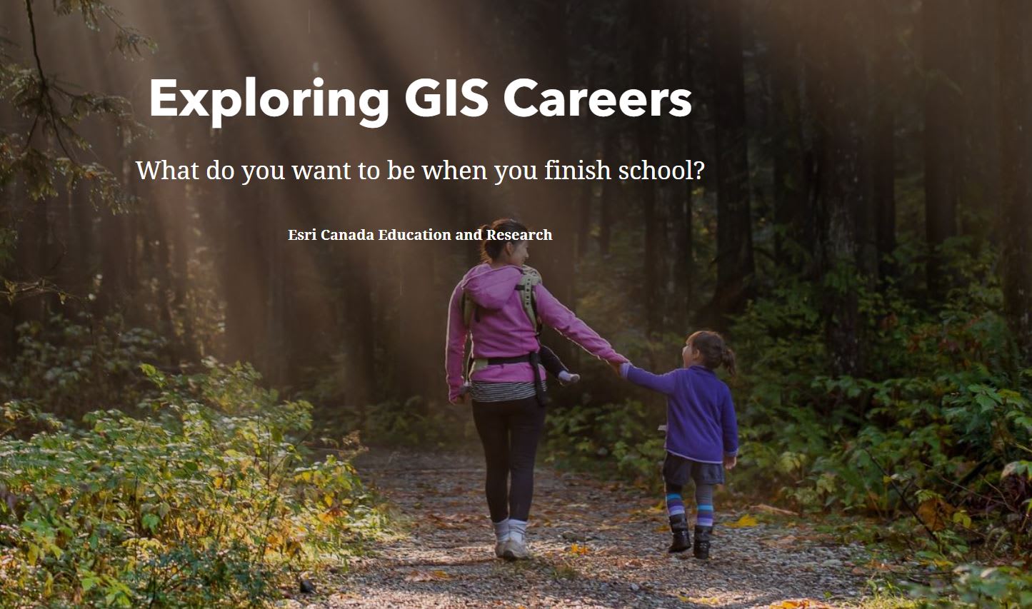
Introduction to GIS certification for SHSM – Environment Elective
The K-12 Education group supports the SHSM- Environment program through our Introduction to GIS certification. Students enrolled in the program who have selected the GIS elective will go through the story map to learn about the basics of GIS. By completing the assigned ArcGIS Online tutorials, and GIS Skills story map assignment, students can obtain their SHSM - Environment - Introduction to GIS certification. It takes approximately 5 hours to complete this GIS elective. Email k12@esri.ca if you have any questions.
Happy Mapping!