Introducing Address Manager 2.1
Address Manager helps manage an inventory of civic addresses while ensuring accuracy and compatibility with NG9-1-1 GIS data requirements.
View
Address Manager helps manage an inventory of civic addresses while ensuring accuracy and compatibility with NG9-1-1 GIS data requirements.
View
Curious about GIS for your Water Utility?
Request DemoDo you want to add content from related records into your popup in Map Viewer? There's more than one way! In this GeoSnap, we will first highlight an easy way to hook up related records to a popup in
Watch Video
Growing your GIS program can seem overwhelming if you’re trying to make big change. Use this step-by-step approach to find a manageable way forward.
View
Learn about the latest features that have been added to the Complete Streets VR app built by members of the higher education team.
View
Welcome to the Climate Change Data & Resource Hub, the premier destination for tracking Canada's climate change goals and accessing related sources. Our platform houses an extensive collection of spat
Watch Video
The Esri Community Engagement Gallery is a platform for users to share their GIS projects focused on community engagement. It showcases maps, apps and multimedia content demonstrating innovative uses
Watch Video
The Community Map is the most accurate basemap available for Canadian users with an unparalleled update frequency and direct community data sources.
View
This website serves as a repository for public facing ArcGIS Applications, offering users access to various Canadian web mapping applications. Users can easily navigate through a diverse range of appl
Watch Video
Explore why detailed addresses are vital for emergency responses, enhancing speed and accuracy for first responders.
View
Esri Canada’s News Roundup summarizes important stories in the world of GIS each month.
View
The Community Map of Canada is a seamless vector basemap of Canada built from authoritative data, collected closest to source and updated daily.
View
Discover the vital role that Esri’s GIS technology plays in wildfire management at the Regional District of Central Okanagan’s Emergency Operations Centres (EOCs). The District leverages GIS to develo
Watch Video
This blog answers all the questions from our 'Embracing ArcGIS Pro: Understanding Innovations and Capabilities in ArcGIS Pro' webinar.
View
Meet Lavanya Gopal, a telecommunications engineer-turned-GIS student who wants to use her skills to contribute to environmental conservation efforts.
View
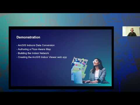
Many organizations are relying on static floorplans to support facility management. Indoor GIS, powered by ArcGIS Indoors, allows organizations to visualize their facilities data in ways not previousl
Watch Video
Meet Cynthia Bettio, a history award winner and teacher who’s used ArcGIS StoryMaps for a history project, engaging her students in learning about their city’s past.
View
Recently returned from an expedition to Antarctica, Anais Schaenzel shares her story about using field GIS to provide near real-time blog updates that offered a look into Antarctica's icy landscapes.
View
Grab your toque and prepare for an icy voyage to the ends of the Earth! In this episode of Geographical Thinking, host Michelle Brake speaks to Anais Schaenzel, who recently embarked on a thrilling ex
Watch Video
Esri Canada’s Getting Technical blog post brings you the latest and most significant news about Esri technology.
View
Read this blog post to understand what is blockchain, different types of blockchains and use cases of blockchain within government.
View
Loading More...