Where can Blockchain Technology Fit in the Assessment Industry
Read this blog post to understand what is blockchain, different types of blockchains and use cases of blockchain within government.
View
Read this blog post to understand what is blockchain, different types of blockchains and use cases of blockchain within government.
View
Curious about GIS for your Water Utility?
Request DemoCalling teachers, student teachers, and teaching assistants with up to five years of teaching experience. We've got an exciting ArcGIS challenge for you!
View
Here is a list of your favourite GeoSnaps and some of our most recent videos that should be on your watch list
View
Learn how to improve your roads and addresses data and discover an assortment of tools and workflows to help. Explore how to connect your roads data to your neighbours’ for a more connected tomorrow.
Watch Video
Meet Lavanya Gopal, a telecommunications engineer-turned-GIS student who wants to use her skills to contribute to environmental conservation efforts.
View
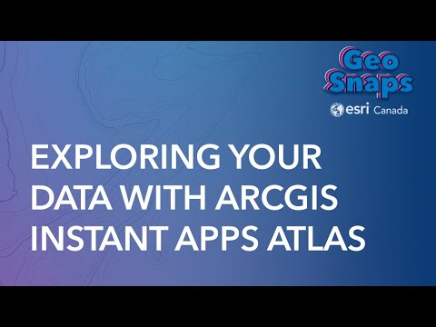
Want a cool way for users to view and explore your online map content? ArcGIS Instant Apps Atlas may be perfect for you! In this GeoSnap, we will show you how easy it is to publish a new Atlas app tha
Watch Video
Discover Manitoba Hydro's journey in transforming land management using Esri's GIS technology - improved efficiency and customer experience.
View
"Keep track of changes to the data" functionality in ArcGIS Online allows users to monitor changes made to their spatial data hosted on the platform.
View
This article describes how to prevent the web adaptor from sending requests to the ArcGIS Enterprise portal during downtime
View
Discover the top Esri mobile apps for field data collection—as well as which apps you can leave behind.
View
The Town of Oakville modernized their process of gathering and analyzing data to answer planning questions.
View
A linear referenced transportation network is a key foundational system to support multiple businesses with different data models on a single, authoritative system of record. Changes to the underlying
Watch Video
The Community Map is the most accurate basemap available for Canadian users with an unparalleled update frequency and direct community data sources.
View
If you’re an ArcGIS Online or Portal for ArcGIS administrator, this webinar will show you how to plan and apply administrative portal governance. Are you interested in learning more? https://www.e
Watch Video
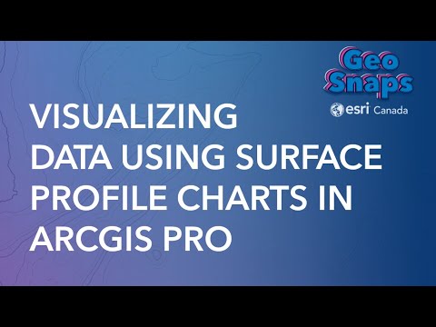
Surface Profile Charts are now in ArcGIS Pro. These are also referred to as spectral signatures/spectral profiles which measure the reflectance of the specific colour bands along the specified line se
Watch Video
Discover how your team can collect and analyze planning data on the Ratio.City platform. During this webinar, we will demonstrate through real examples how our platform breaks down data siloes by coll
Watch Video
Looking for datasets to enhance your map and reinforce your data? The ArcGIS Living Atlas of the World has you covered! In this GeoSnap we’ll take a look at how you can search Living Atlas data direct
Watch Video
3D Basemaps have recently been added in to ArcGIS Pro. These basemaps are updated frequently and are a great way of getting started to visualize your data in 3D. This video will teach users how to get
Watch Video
When responding to situations like natural disasters, damage assessment, or informing the public, every second counts. ArcGIS Solutions are designed to help you reduce the time to deploy location-base
Watch Video
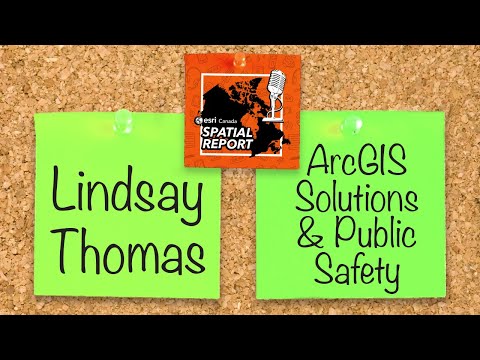
We have solutions in this episode of the podcast! Lindsay Thomas from Esri Inc. joins us to discuss the power of ArcGIS Solutions for public safety. Then our mobile apps GeoGeek, Sue Enyedy, is back f
Watch Video
Loading More...